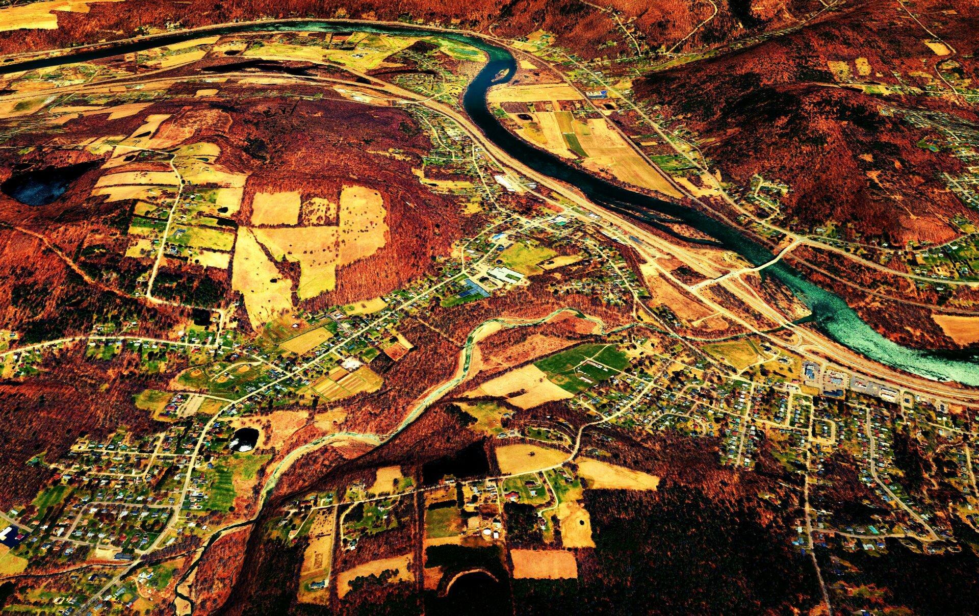
Terrain Map: Apalachian, New York Download a High Resolution JPEG Image of the Terrain Apalachian, New York or an Adobe Acrobat Printable PDF of the Terrain Apalachian, New York. About Apalachian, New York .... The mighty, but shallow Susequehanna River winds west. More about Southern Tier...Maps and InteractivesInterstate 86 and 390 InterchangeApalachian, New YorkWatts Wildlife Management AreaHanging Bog Wildlife Management Area TopoHanging Bog Wildlife Management Area – OrthophotoErwin WMA OrthoErwin Wildlife Management Area... photos, maps and other content from from Southern Tier. Leave a Reply Cancel replyYour email address will not be published. Required fields are marked *Comment * Name * Email * Website Save my name, email, and website in this browser for the next time I comment. Δ
More about Southern Tier...Maps and InteractivesInterstate 86 and 390 InterchangeApalachian, New YorkWatts Wildlife Management AreaHanging Bog Wildlife Management Area TopoHanging Bog Wildlife Management Area – OrthophotoErwin WMA OrthoErwin Wildlife Management Area... photos, maps and other content from from Southern Tier.
Leave a Reply Cancel replyYour email address will not be published. Required fields are marked *Comment * Name * Email * Website Save my name, email, and website in this browser for the next time I comment. Δ
