Rensselearville

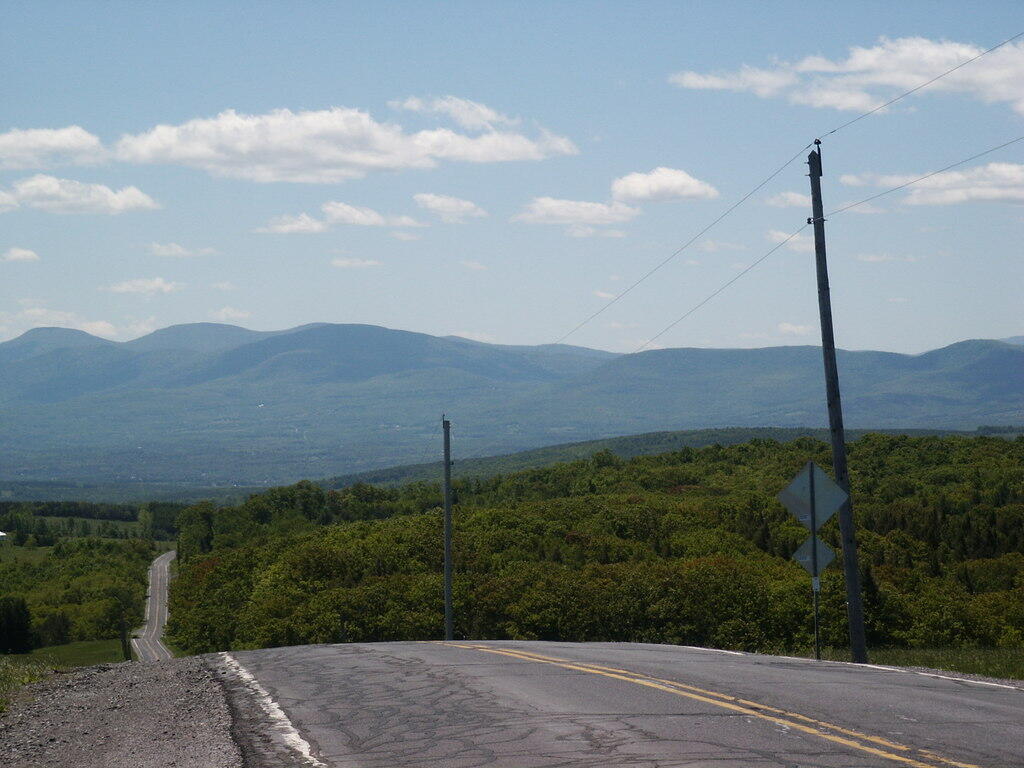
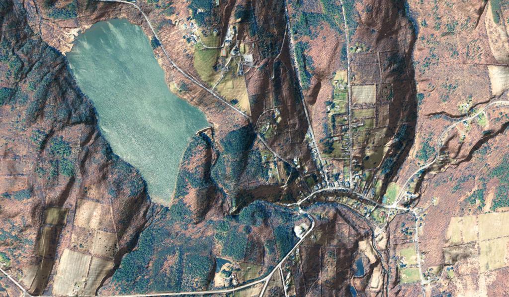
Rensselaerville is a rural town in the southwest corner of Albany County, New York. The population was 1,843 at the 2010 census. The town is named after Stephen Van Rensselaer. It is 61.9 square miles. Hamlets include Cooksburg, Medusa, Potter Hollow, Preston Hollow, and Rensselaerville.

The south town line is the border of Greene County, and the west town line is the border of Schoharie County. Catskill Creek and its tributaries, Lake Creek, Fox Creek, Tenmile Creek, and Eightmile Creek, flow through the town.

http://en.wikipedia.org/wiki/Rensselaerville,_New_York

Show Only ...
Maps - Photos - Videos

Gifford Hollow Farm

Things are starting to green up on this spring afternoon with all that rich farm dirt and piles of manure ready to be spread on the land with those really nice New Holland tractors. And yes, I do see the burn barrel.

Thursday April 30, 2020 — Rensselearville

Highest Elevation in Albany County

There was a discussion on Facebook about the highest point in Albany County. I thought this would be an easy and fun GIS question. Looking at 10 m digital elevation model, the answer would be 42.52806632, -74.19845216 -- the lands of Susan R Lubbin, 776 Pond Hill Rd, Town of Rensselaerville (94.8 acres). Officially, Henry Hill at 2,162 foot elevation is the highest point in county, however at least from digital elevation model, Henry Hill is 2,164 ft and the lands of Ms. Lubbins is 2,170 ft.

Highest Elevation in Albany County