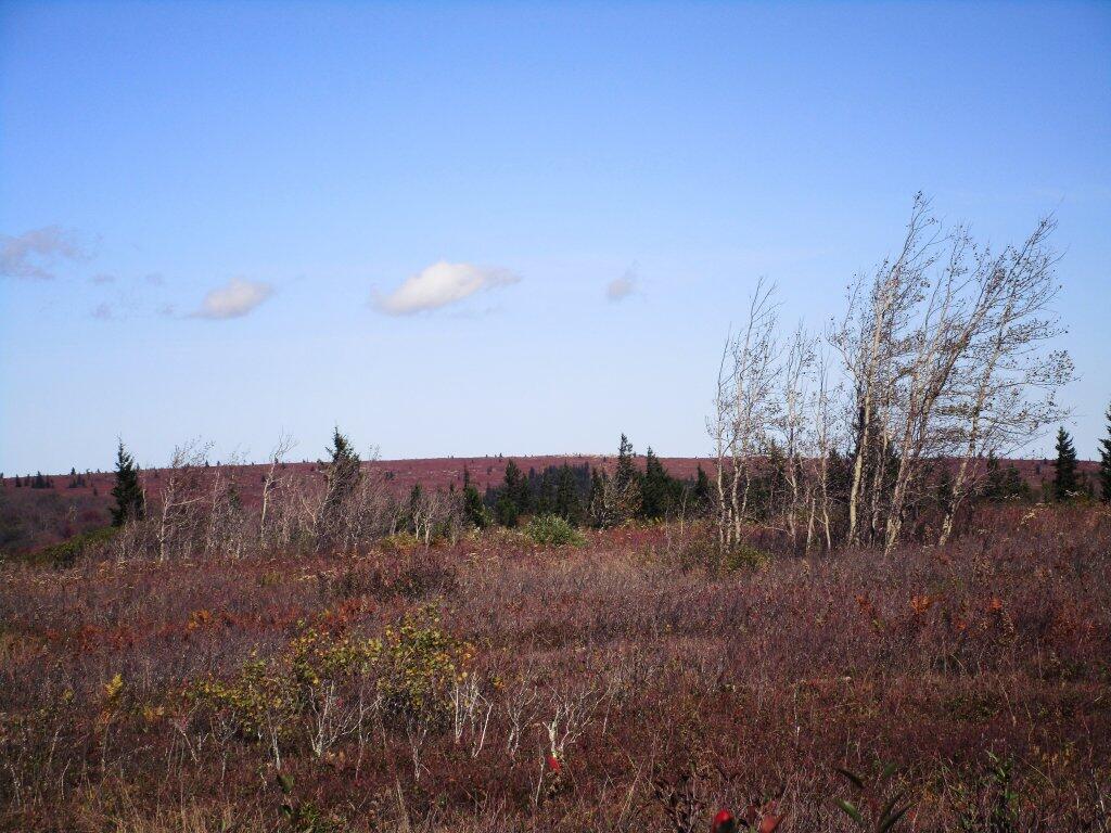
Dolly Sods Wilderness 📍

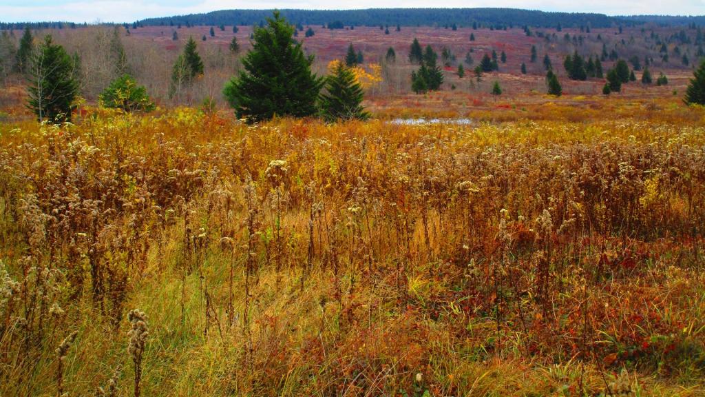
The 17,371 acre Dolly Sods Wilderness in the Monongahela National Forest is part of the National Wilderness Preservation System. It is located in Grant, Randolph, and Tucker Counties, West Virginia. The Dolly Sods Wilderness contains much of the Red Creek drainage and contains bog and heath eco-types, more commonly typical to southern Canada. Elevations range from 2,500 to over 4,700 feet. https://www.fs.usda.gov/recarea/mnf/recarea/?recid=12366

🗺️ Maps 🖼️ Photos 📽️ Videos

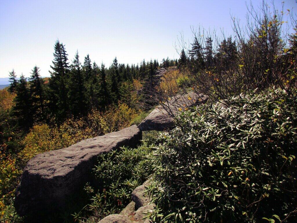
Bear Rocks

Bear Rocks are a widely recognized symbol of West Virginia wilderness and among the most frequently photographed places in the state.

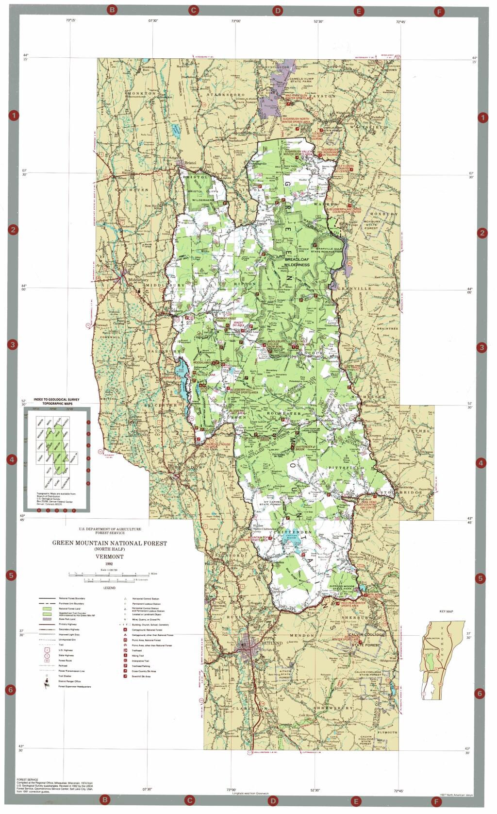
Map: Green Mountain National Forest North

Lanesboro Road

This is the road I overheated my brakes on in West Virginia. It looks a lot flatter in the aerial photo then in reality.

Terrain Map: Labrador Hollow
SVGZ Graphic: Control of State Government - By Percentage of US Population
Map: Catlin State Forest