Wilderness 🖼️
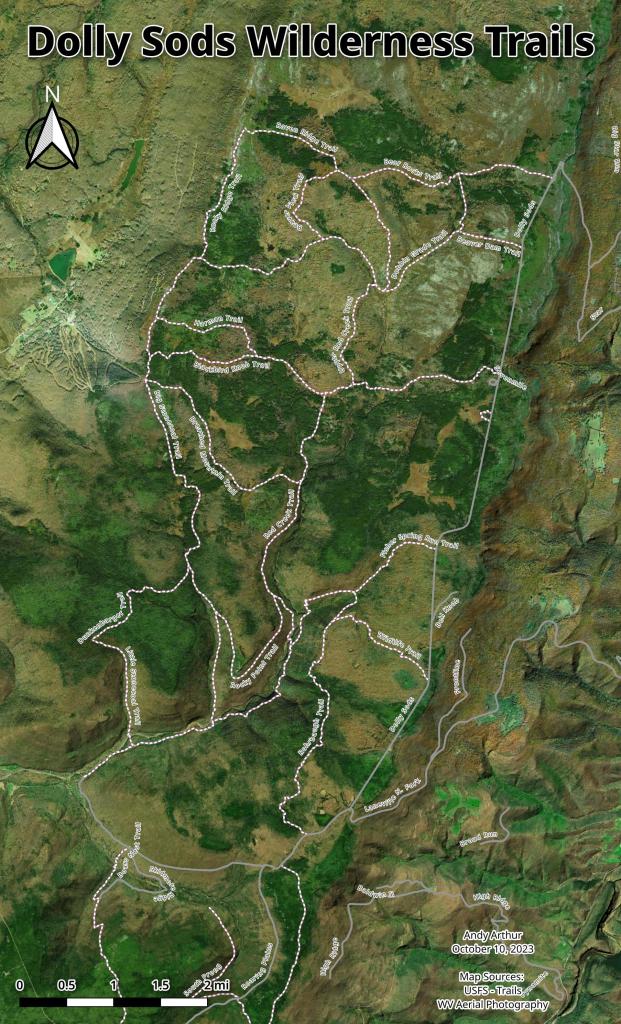
Download a High Resolution JPEG Image of the Wilderness or an Adobe Acrobat Printable PDF of the Wilderness.
Wilderness ...
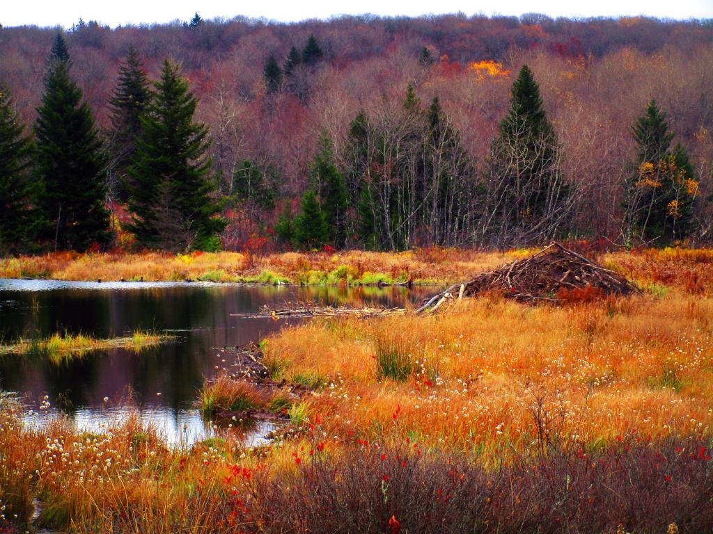
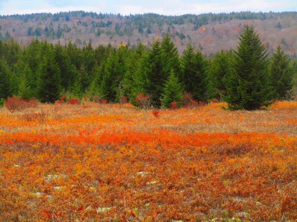
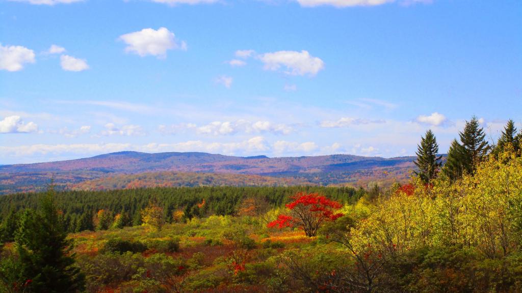
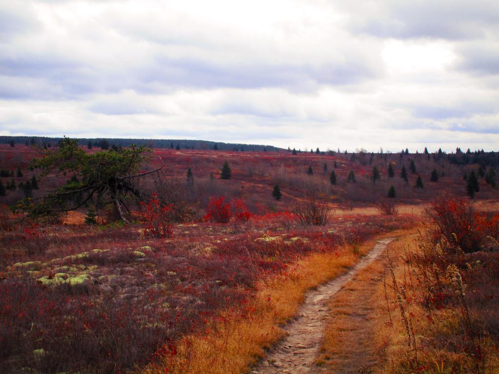
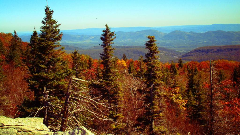
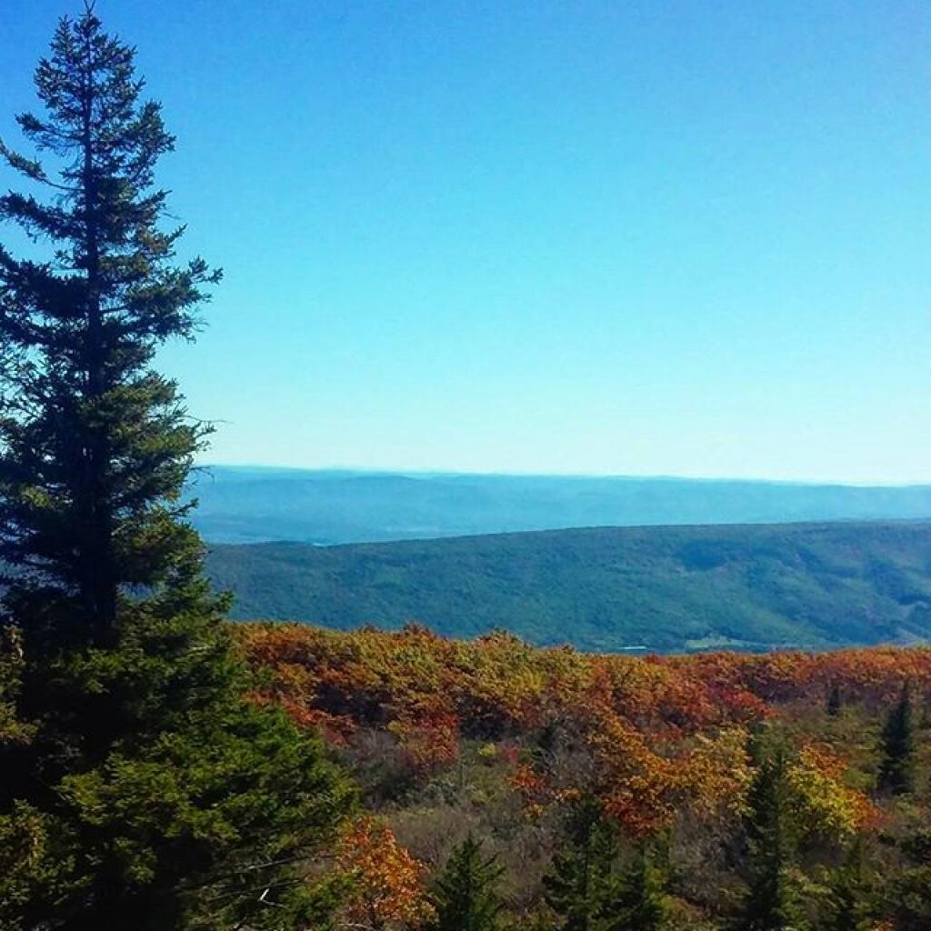
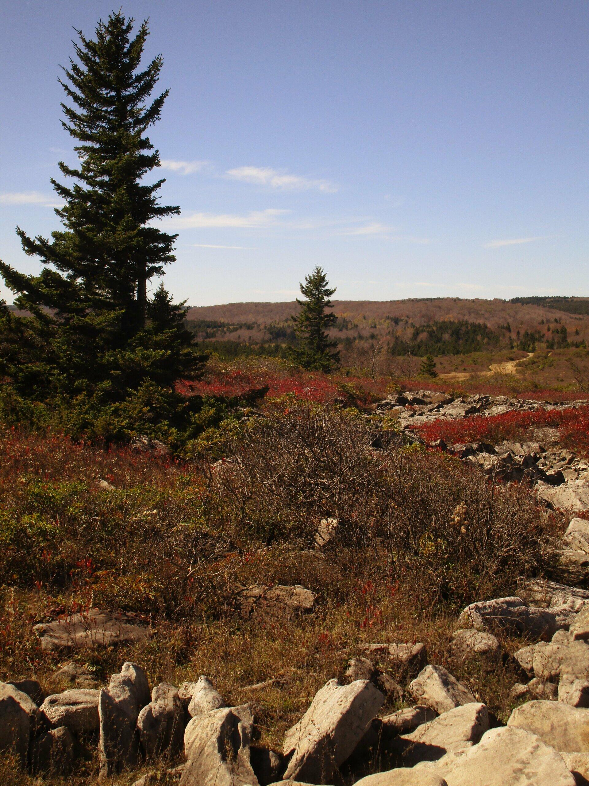
Taken on Wednesday October 18, 2017 at Dolly Sods Wilderness.
More about Dolly Sods Wilderness...
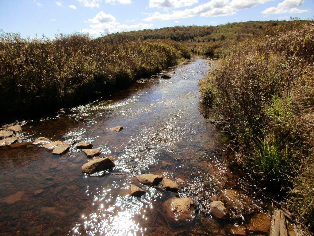
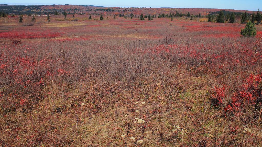
The 17,371 acre Dolly Sods Wilderness in the Monongahela National Forest is part of the National Wilderness Preservation System. It is located in Grant, Randolph, and Tucker Counties, West Virginia. The Dolly Sods Wilderness contains much of the Red Creek drainage and contains bog and heath eco-types, more commonly typical to southern Canada. Elevations range from 2,500 to over 4,700 feet. https://www.fs.usda.gov/recarea/mnf/recarea/?recid=12366