Untitled

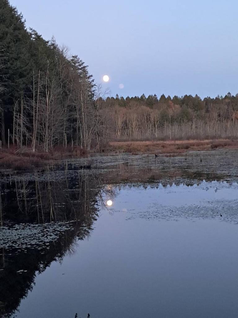
Yesterday I spent the balance of the day down in Sherburne but today I plan to spend around camp, doing some short hikes and rides, not getting deep in the woods where I might disturb people out hunting. It’s pretty quiet this morning as the sun rises over Lost Pond.
Rexford Falls yesterday was kind of neat when I was back there. 🏞️ It was just one of those things you discover on All Trails and I decided to check it out after visiting the Rogers Center in Sherburne. The trick is to check out the falls from within the gorge, as the views from the rim and the bridge are pretty blocked by trees not to mention the bridge is almost right above the falls.
The Roger’s Center hasn’t changed much though I think some of the bridges are ricketer then they were before, though other parts of the trails were being worked on. 🍂 The leaves are pretty much faded around Sherburne, though at the last week of October it is I shouldn’t be real surprised. Warmed up and was quite pleasant by mid-afternoon yesterday. Today is supposed to be even warmer. ☀️ Lots of sun, though the sun angle is low this time of year.
Got pumpkin ice cream 🍦 🎃 at Gilligan’s in Sherburne and it was pretty damn good. I’ve been meaning to stop by there for a long time. I think it was $4.45 for a large ice cream which I thought was a good deal with prices being what they are these days. Cheaper than a gallon of gas for the SuperDuty! Got back to camp a half hour before sunset, enjoyed some cannabis and cornmeal – onion pancakes and had a fire into the night. They are certainly much longer this time of year. I know, just wait until next weekend. 😂 That said, I’ll appreciate the extra light in the mornings, as things are so dark especially at the Lost Pond Campsite, due to the location of the hill somewhat shading out the morning sunrise.
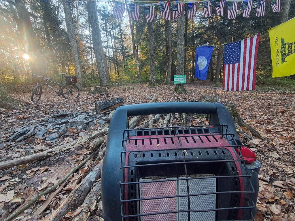
Apple – lemon 🍋 pancakes this morning, with some of the last zucchuni from the summer that was. It was fairly cool this morning but the heater fired right up and now with the sun peaking out, it’s warming up fast. Just a quiet day with some reading and hanging out planned for today. Get to bed fairly early, as I want to have camp taken down by 8 AM tomorrow so I can stop by the west Winfield library 📚 to start out the first batch of work before 9 AM then drive over to Glimmerglass and work there until around 5 PM using my laptop and phone, 👨🏻💻 and then head home. Tuesday I have meetings in the office to attend.