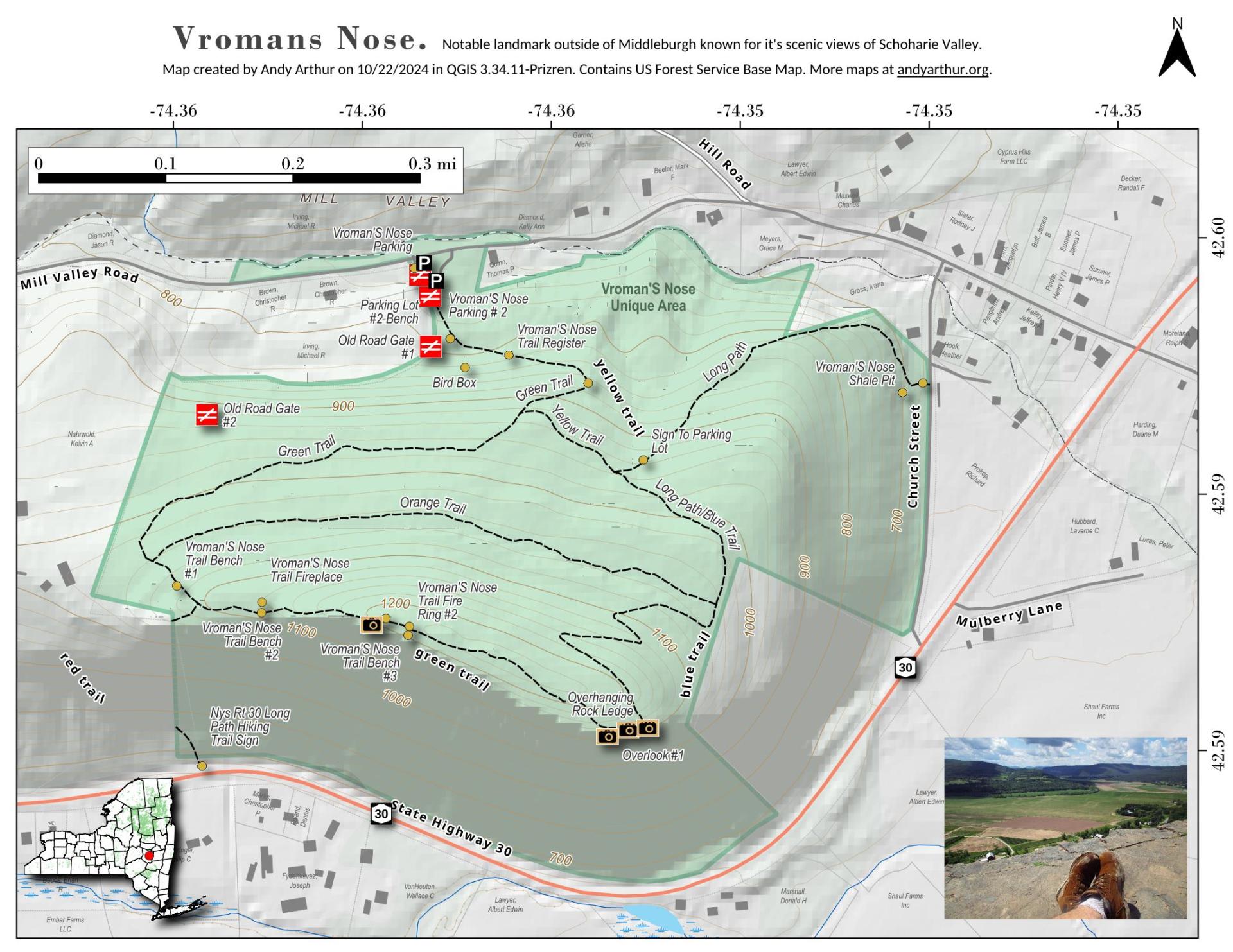
Vromans Nose Unique Area

Download a High Resolution JPEG Image of the Vromans Nose Unique Area or an Adobe Acrobat Printable PDF of the Vromans Nose Unique Area.

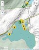
Bookmark my free Interactive GPS Map for your phone:
https://andyarthur.org/ny
... shows your location as a blue dot in relationship to campsites, trails, state land. This online map requires cell service, won't work in remote country, so also bring a paper map.
Free Download of New & Historical USGS 1:24k Topograpic Maps
Interactive maps with backcountry and roadside camping: New York, Pennsylvania, West Virginia & Vermont. List of NYS DEC Lean-Tos and Firetowers.
Google Spreadsheet with Roadside, Primitive and Pay Campsites
More about Vromans Nose...
Vroman's Nose is a prominent geological feature in the town of Fulton (near Middleburgh), in Schoharie County, New York, United States. It is among the more popular hiking sites in upstate New York and is of significant historical note.


