Yummie Breakfast 🖼️
Download a High Resolution JPEG Image of the Yummie Breakfast or an Adobe Acrobat Printable PDF of the Yummie Breakfast.
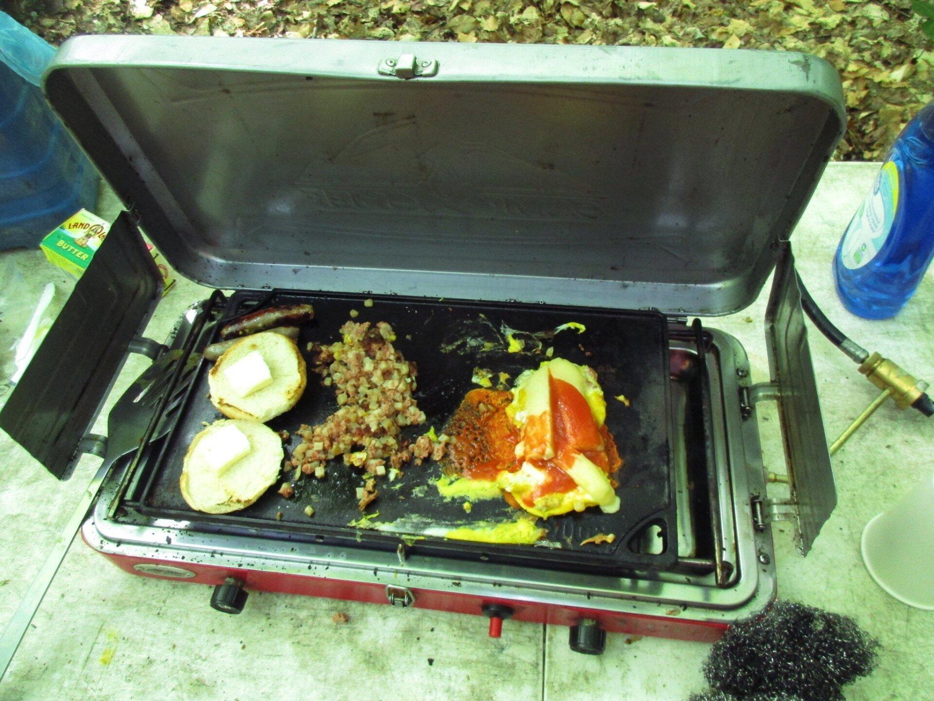
Yummie Breakfast ...
I haven't had corn beef hash in a long time, and without my hunting knife and some quick thinking to get open the can, I probably wouldn't have have had anything. While I probably should sharpen my knife now, it cut the can like butter, which was good because I left my can opener home and couldn't find my pocket knife in my truck.
Taken on Sunday June 11, 2017 at Piseco-Powley Road.

More about Piseco-Powley Road...
The 17-mile Piseco-Powley Road is a remote dirt route cutting through the Adirondack's Ferris Lake Wild Forest. It features 22 primitive roadside campsites, including four spots at Powley Place where the road crosses the West Branch of the East Canada Creek.
Download the PDF Map Pack with All Maps from Piseco-Powley Road.


")


