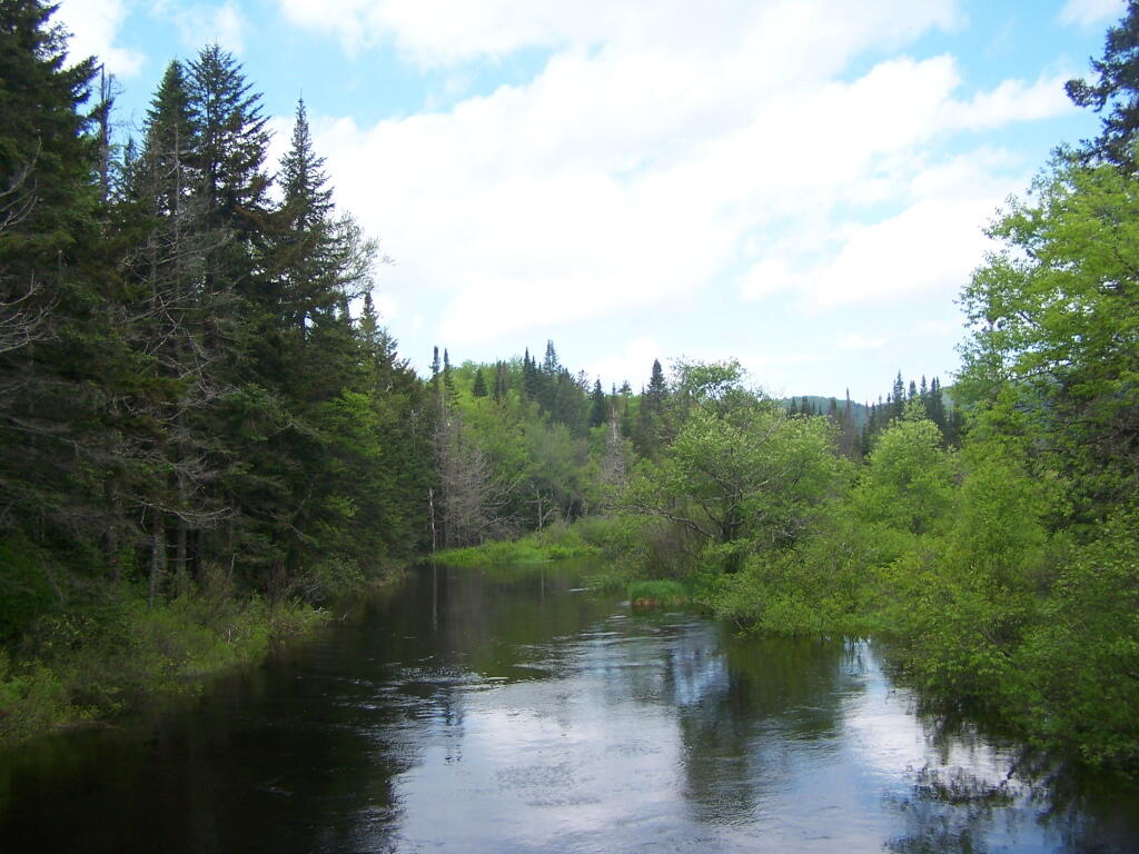
North from Powley Place Bridge 🖼️
Download a JPEG Image of the North from Powley Place Bridge.
North from Powley Place Bridge ...
On Saturday and Sunday it was pretty cloudy for most of the rain, with showers on and off, but occasionally it would get quite purty out.
Taken on Saturday May 28, 2011 at Piseco-Powley Road.

More about Piseco-Powley Road...
The 17-mile Piseco-Powley Road is a remote dirt route cutting through the Adirondack's Ferris Lake Wild Forest. It features 22 primitive roadside campsites, including four spots at Powley Place where the road crosses the West Branch of the East Canada Creek.
Download the PDF Map Pack with All Maps from Piseco-Powley Road.


")


