Culverts Gone, Exposed Concrete 🖼️
Download a JPEG Image of the Culverts Gone, Exposed Concrete.
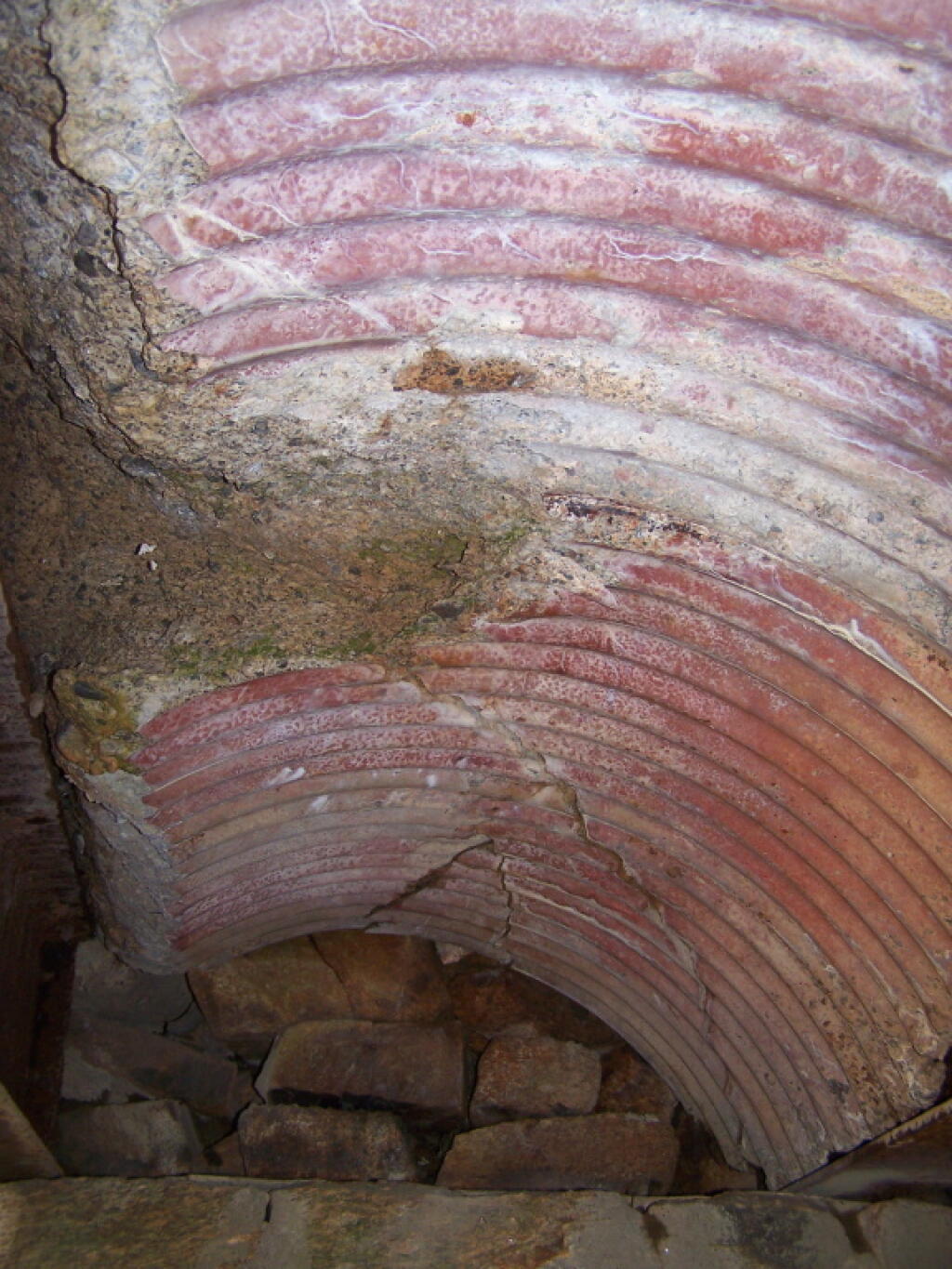
Culverts Gone, Exposed Concrete ...
Here is an example of the deterioration of the bridge as seen from it's underside. Concrete was cracking as steel was gone from holding it up. Bridge will eventually have to be replaced.
Taken on Sunday May 29, 2011 at Piseco-Powley Road.

More about Piseco-Powley Road...
The 17-mile Piseco-Powley Road is a remote dirt route cutting through the Adirondack's Ferris Lake Wild Forest. It features 22 primitive roadside campsites, including four spots at Powley Place where the road crosses the West Branch of the East Canada Creek.
Download the PDF Map Pack with All Maps from Piseco-Powley Road.


")


![Photo: Finding the Cold [Expires July 21 2026]](/data/photo_24877_small.jpg "Photo: Finding the Cold [Expires July 21 2026]")


