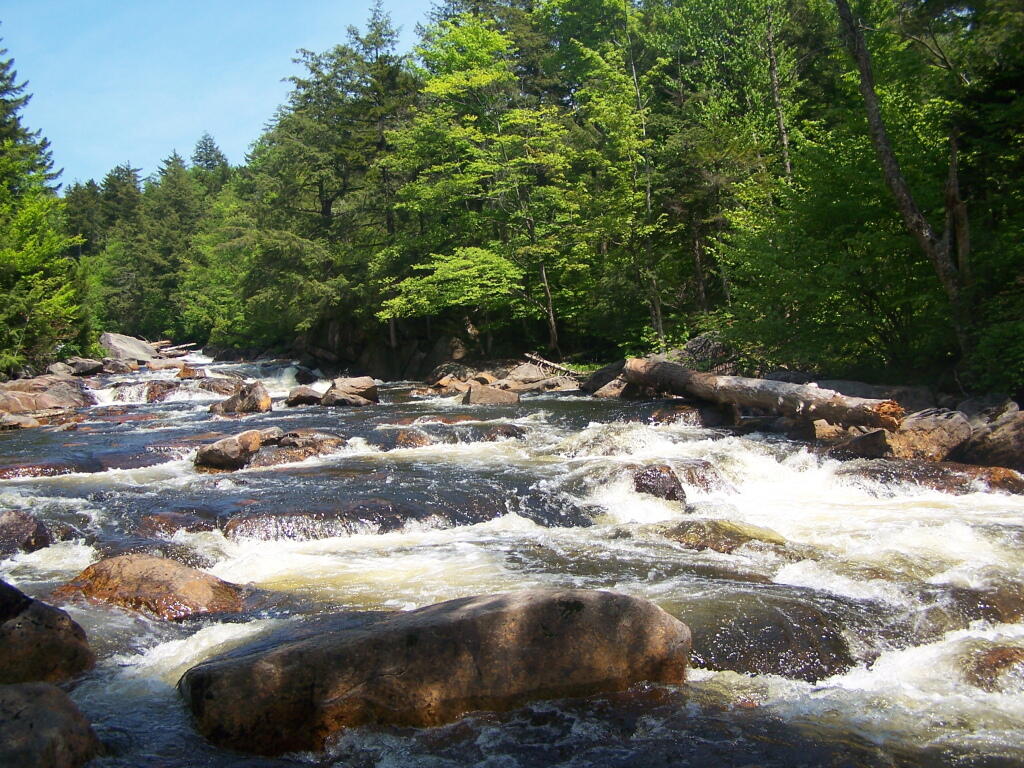
Potholers  🖼️

Download a JPEG Image of the Potholers.

Potholers ...

If the water wasn't so cold, and it wasn't "break away" day to head back to home, I am sure this area would have been packed.

Taken on Monday May 30, 2011 at Piseco-Powley Road.

Map: Kerryville State Forest

More about Piseco-Powley Road...

The 17-mile Piseco-Powley Road is a remote dirt route cutting through the Adirondack's Ferris Lake Wild Forest. It features 22 primitive roadside campsites, including four spots at Powley Place where the road crosses the West Branch of the East Canada Creek.

Download the PDF Map Pack with All Maps from Piseco-Powley Road.

Map: Big Alderbed Lake Trail
Map: Clockmill Corners to NY 10
Map: Goldmine Stream Falls
Map: House Pond Trail
Map: Lower Powley Bridge to Sugarbush Mountain
Map: Meco Lake Trail (Piseco-Powley Road)
Map: Overview Map Piseco-Powley Road
Map: Powley Place - East Canada Creek - Kayak Canoe
Map: Sand Lake
Map: Sand Lake Trail
Map: Sugarbush Mountain to Clockmill Corners
SVGZ Graphic: high-temp-ny [Expires June 19 2026]
Terrain Map: Edick Road Swimming Hole
Terrain Map: Juneteenth 2022 Weekend
Terrain Map: Powley Road
Thematic Map: Piseco Road Swimming Holes
Photo: Pool Below Rapids
Photo: View from Powley Bridge
Photo: Mohawk River
Photo: Nice Campfire
Photo: Nice Afternoon for Fishing
Photo: Black Water
Photo: House Pond
Photo: Lillies
Photo: Smoke
Photo: Below the Potholers

Leave a Reply

Your email address will not be published. Required fields are marked *