Plains of East Canada Creek 🖼️
Download a High Resolution JPEG Image of the Plains of East Canada Creek or an Adobe Acrobat Printable PDF of the Plains of East Canada Creek.
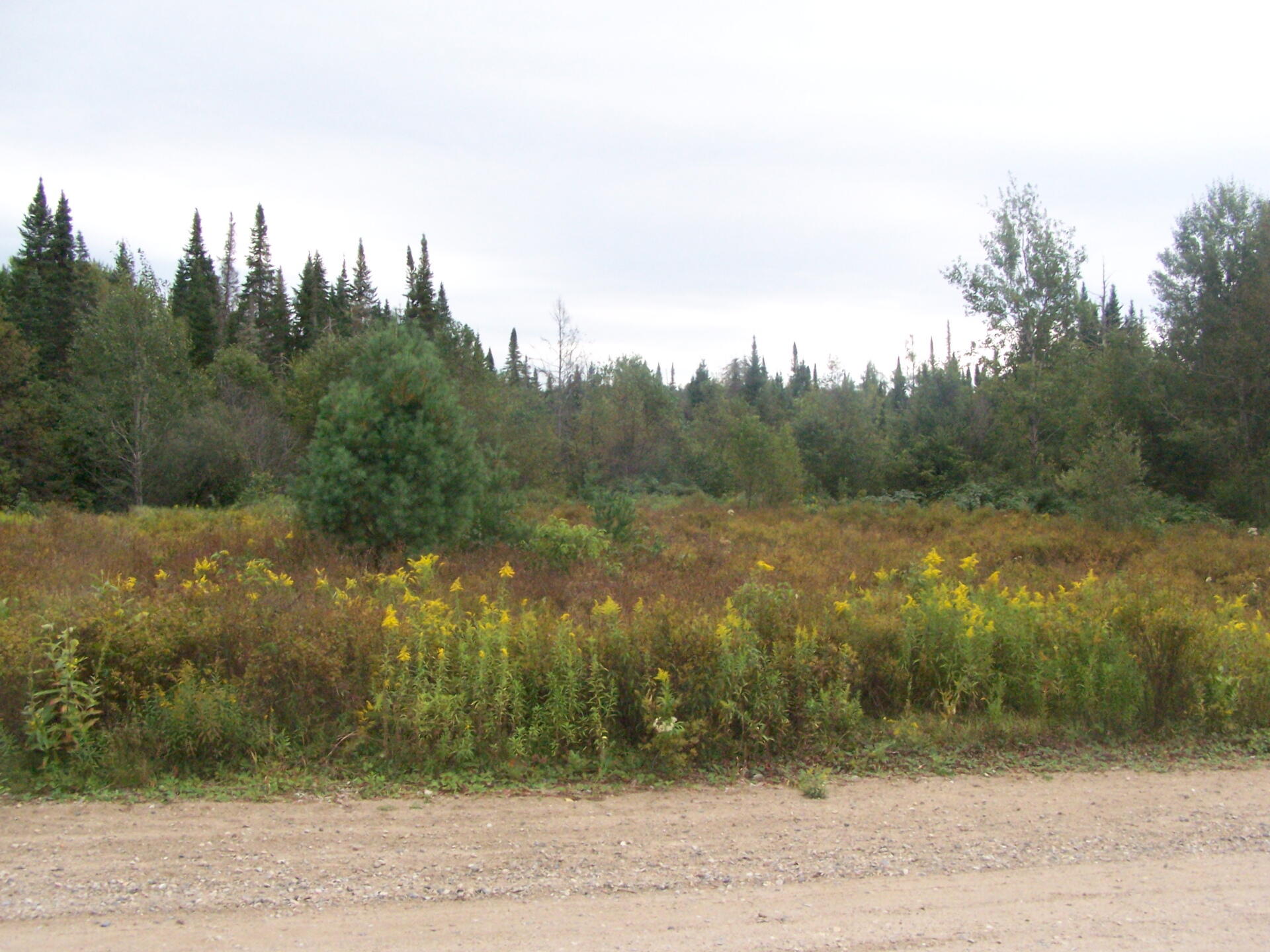
Plains of East Canada Creek ...
I was struck by the similarities -- and contrasts to Moose River Plains. You certainly do not see the Golden Rod in the Sandy Plains of East Branch of the Moose River.
Taken on Monday September 6, 2010 at Piseco-Powley Road.

More about Piseco-Powley Road...
The 17-mile Piseco-Powley Road is a remote dirt route cutting through the Adirondack's Ferris Lake Wild Forest. It features 22 primitive roadside campsites, including four spots at Powley Place where the road crosses the West Branch of the East Canada Creek.
Download the PDF Map Pack with All Maps from Piseco-Powley Road.


")


