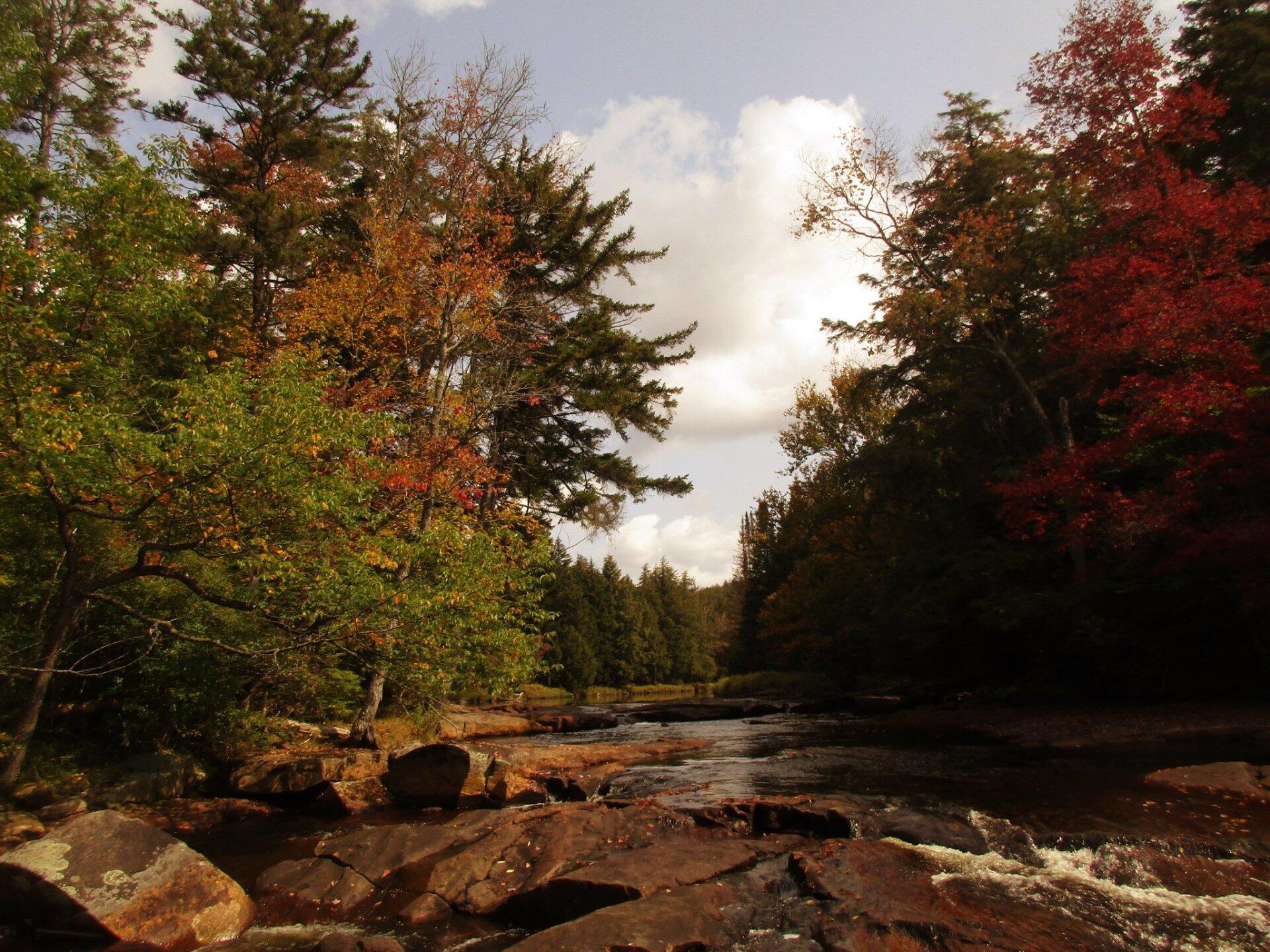
Autumn Is Coming To The Potholers 🖼️
Download a High Resolution JPEG Image of the Autumn Is Coming To The Potholers or an Adobe Acrobat Printable PDF of the Autumn Is Coming To The Potholers.
Autumn Is Coming To The Potholers ...
Taken on Sunday September 17, 2017 at Piseco-Powley Road.

More about Piseco-Powley Road...
The 17-mile Piseco-Powley Road is a remote dirt route cutting through the Adirondack's Ferris Lake Wild Forest. It features 22 primitive roadside campsites, including four spots at Powley Place where the road crosses the West Branch of the East Canada Creek.
Download the PDF Map Pack with All Maps from Piseco-Powley Road.


")


No Comments
Hello, beautiful pics and write-up!
Thank you.
Are there thunderbox privies at any of the primitive sites along Powley Piseco?
Two sites as far as I know have outhouses. The site in the Powley Place, about 1/4 north of Powley Bridge has a “wilderness” privy, it is a box with a toilet seat in the woods. There is an full outhouse at the campsite 1/4 mile north of the Powley Place or 1/2 mile north of Powley Bridge.