Heading Around The U 🖼️
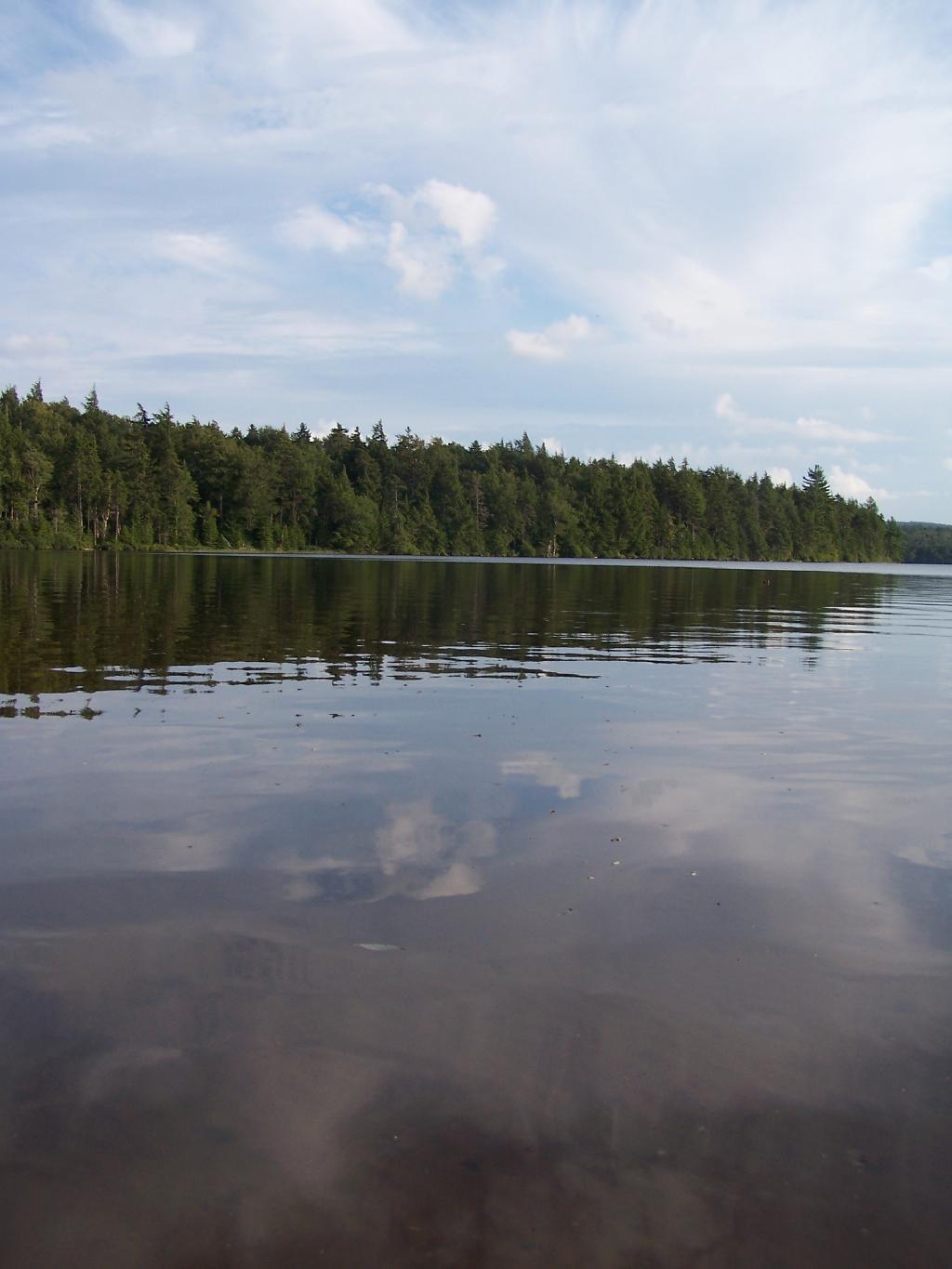
Download a JPEG Image of the Heading Around The U.
Heading Around The U ...
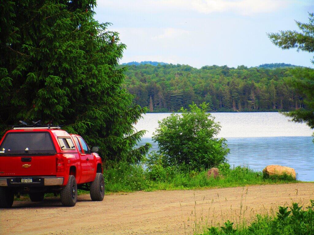
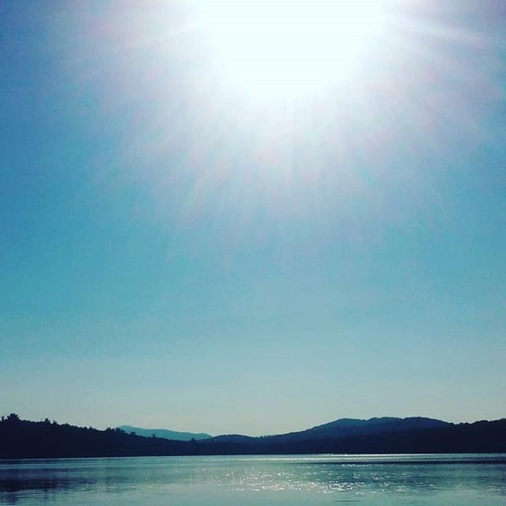
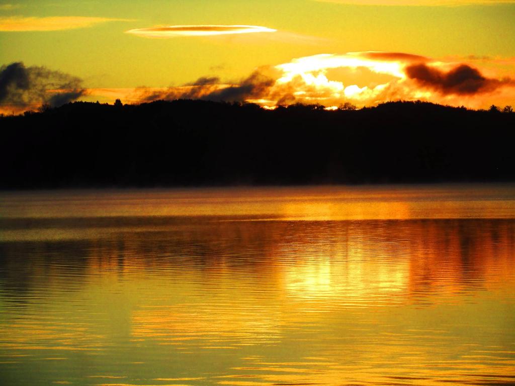
Horseshoe Lake is fairly large, all things considered. The open bays can be a bit rough, especially when you get into the wider portion of the U in the horseshoe.
Taken on Thursday August 12, 2010 at Horseshoe Lake.
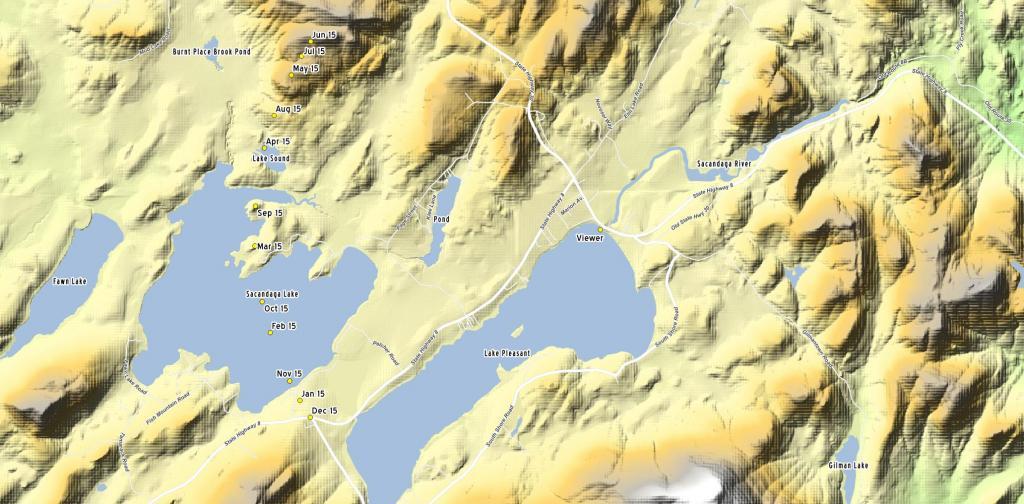
More about Horseshoe Lake...
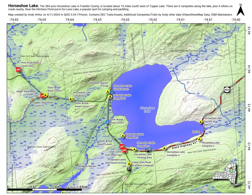
Horseshoe Lake in Franklin County, is located about 15 miles south west of Tupper Lake. There are 6 campsites along the lake, plus 4 others on roads nearby. Near the Hitchens Pond put-in for Lows Lake, a popular spot for camping and paddling.