After The Pavement Runs Out  🖼️

Download a JPEG Image of the After The Pavement Runs Out.

After The Pavement Runs Out ...

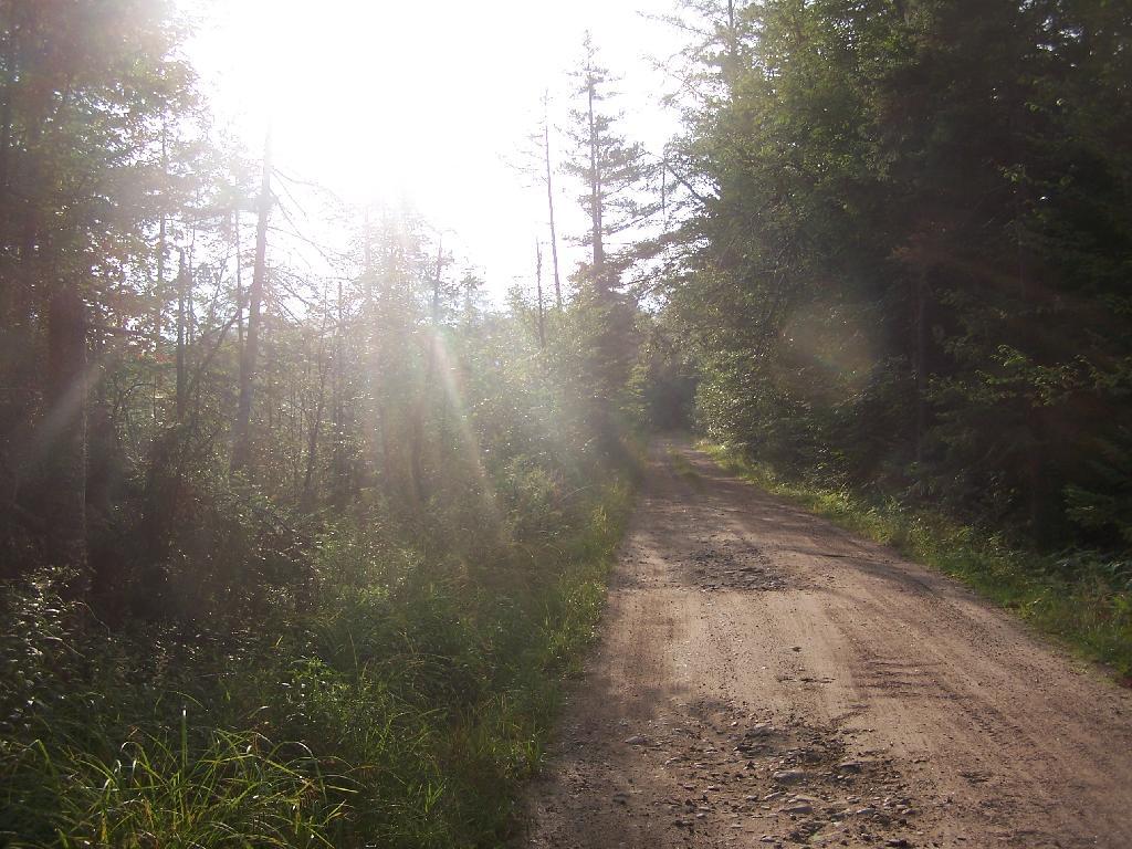
About a two miles from the paved end of NY 421, I camped. This is first thing in the morning, with the sun shining down from the wetlands near where I camped.

Taken on Friday August 13, 2010 at Horseshoe Lake.

Map: Green Mountain National Forest North

More about Horseshoe Lake...

Horseshoe Lake in Franklin County, is located about 15 miles south west of Tupper Lake. There are 6 campsites along the lake, plus 4 others on roads nearby. Near the Hitchens Pond put-in for Lows Lake, a popular spot for camping and paddling.

Map: Horseshoe Lake
SVGZ Graphic: Core PCE PI Excluding Food and Energy [Expires June 11 2026]
Terrain Map: Adirondack Enterprise – July 22, 1980
Photo: Sunshine
Photo: Very Rough NY 421
Photo: Towards Mt Morris
Photo: Cowboy Hat, Swimming Trunks, Work Boots.
Photo: Big ol pines
Photo: Forgotten Curve
Photo: I had to tie the tent down to the kayak because the wind tried to take it away
Photo: Site of One Time Horseshoe Railroad Station
Photo: Five Ponds Wilderness
Photo: Road Crosses Railroad Tracks

Leave a Reply

Your email address will not be published. Required fields are marked *