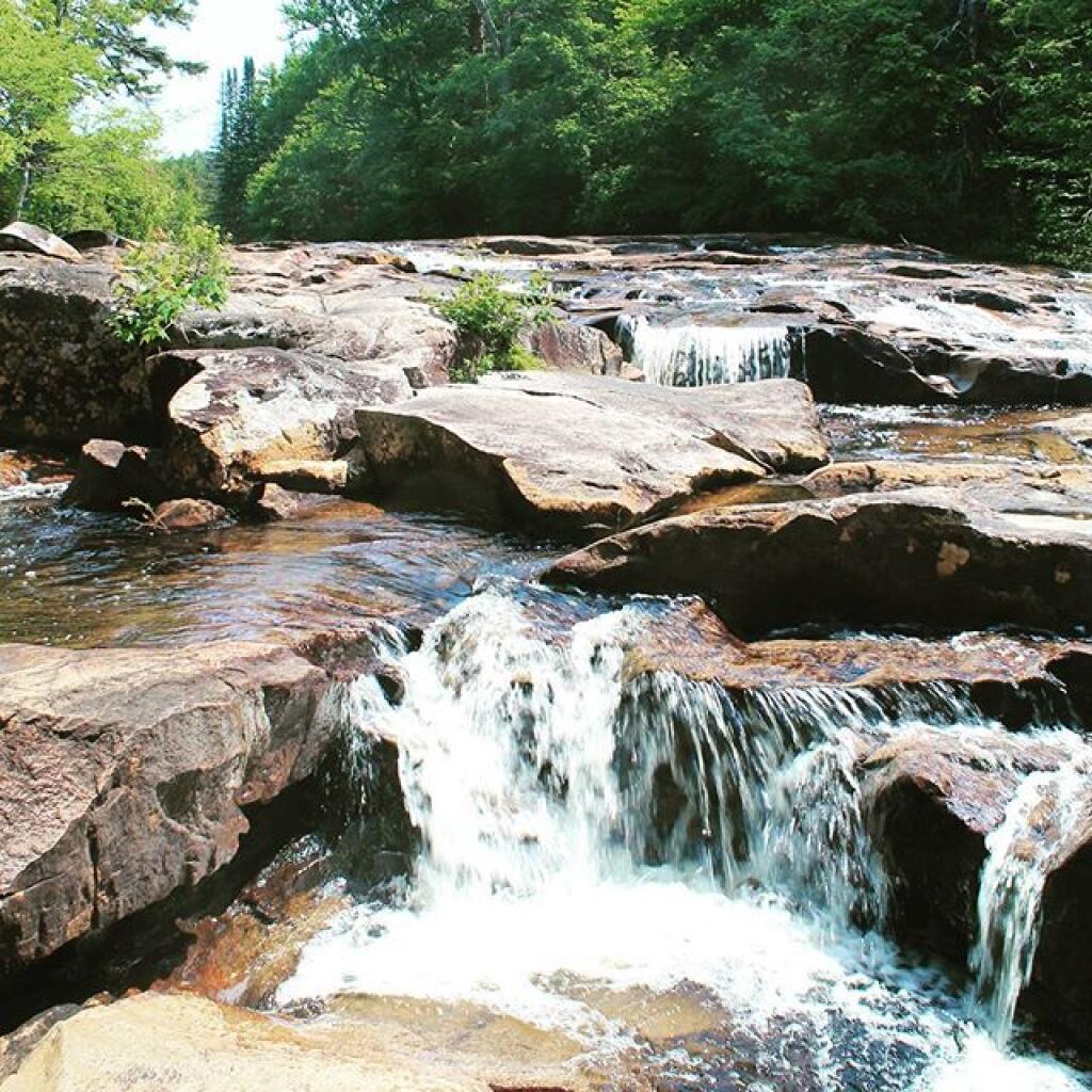
Potholers, just about perfect 🖼️
Download a JPEG Image of the Potholers, just about perfect.
Potholers, just about perfect ...
Taken on Tuesday June 28, 2016 at Piseco-Powley Road.

More about Piseco-Powley Road...
The 17-mile Piseco-Powley Road is a remote dirt route cutting through the Adirondack's Ferris Lake Wild Forest. It features 22 primitive roadside campsites, including four spots at Powley Place where the road crosses the West Branch of the East Canada Creek.
Download the PDF Map Pack with All Maps from Piseco-Powley Road.


")


No Comments
Hi there! Where along the Piseco-Powley road is this beautiful section of the river? Planning some (car) camping and the kiddo enjoys river walking as much as her momma.
Ten miles driving southwest on Piseco Powley Road from NY 10 in Piseco (near Big Bay). Current end of road at Hamilton County line. Or walk across closed bridge from Stratford end of Piseco Road three miles to the parking area. Potholers are at the end of the currently open road.