North Up to Piseco-Powley 🖼️
Download a High Resolution JPEG Image of the North Up to Piseco-Powley or an Adobe Acrobat Printable PDF of the North Up to Piseco-Powley.
North Up to Piseco-Powley ...
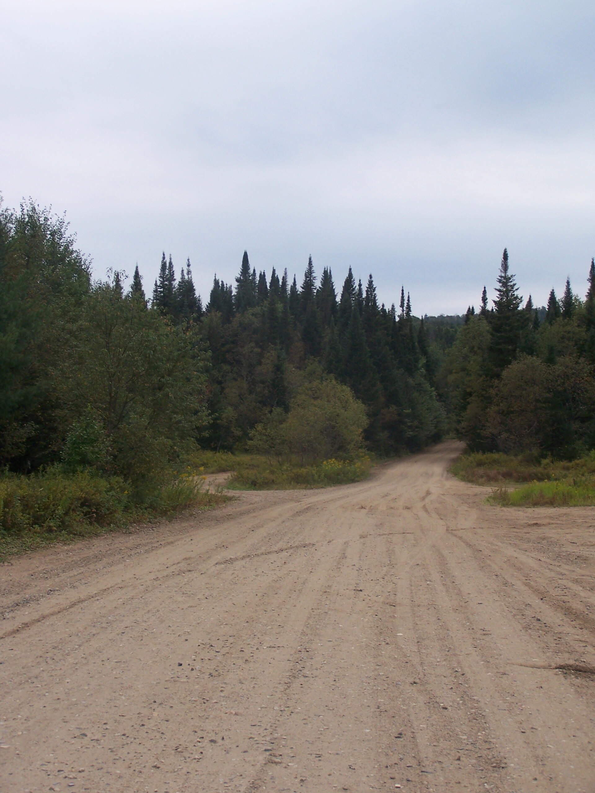
All along this area are designated campsite "pull-off" areas with little more then a stone fire rings cobbled together by previous users. Still, simple but beautiful. It's very flat around here.
Taken on Monday September 6, 2010 at Piseco-Powley Road.

More about Piseco-Powley Road...
The 17-mile Piseco-Powley Road is a remote dirt route cutting through the Adirondack's Ferris Lake Wild Forest. It features 22 primitive roadside campsites, including four spots at Powley Place where the road crosses the West Branch of the East Canada Creek.
Download the PDF Map Pack with All Maps from Piseco-Powley Road.


")


