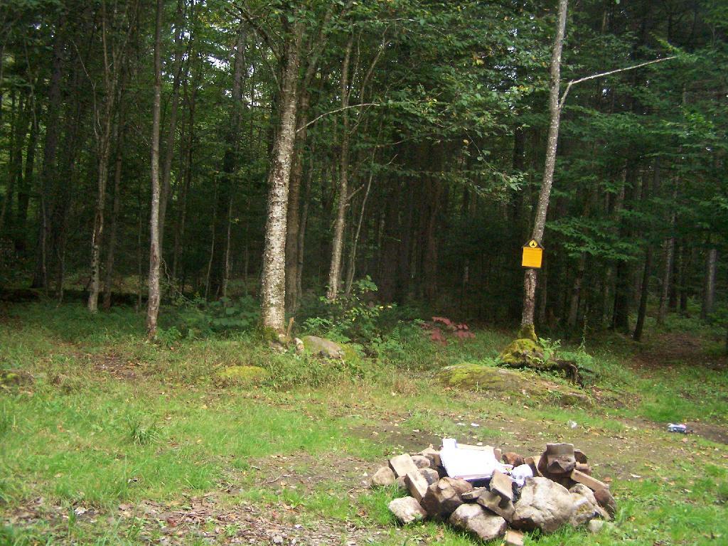
Another Designated Campsite  🖼️

Download a JPEG Image of the Another Designated Campsite.

Another Designated Campsite ...

This one was quite large and located a ways off the road, with some privacy. This is rare for the campsites, which are mostly right on the road. Obviously, if your into tent camping, your free to get much farther off into the back country.

Taken on Monday September 6, 2010 at Piseco-Powley Road.

Map: Dobbins Memorial State Forest

More about Piseco-Powley Road...

The 17-mile Piseco-Powley Road is a remote dirt route cutting through the Adirondack's Ferris Lake Wild Forest. It features 22 primitive roadside campsites, including four spots at Powley Place where the road crosses the West Branch of the East Canada Creek.

Map: Big Alderbed Lake Trail
Map: Clockmill Corners to NY 10
Map: Goldmine Stream Falls
Map: House Pond Trail
Map: Lower Powley Bridge to Sugarbush Mountain
Map: Meco Lake Trail (Piseco-Powley Road)
Map: Overview Map Piseco-Powley Road
Map: Powley Place - East Canada Creek - Kayak Canoe
Map: Sand Lake Trail
Map: Sugarbush Mountain to Clockmill Corners
SVGZ Graphic: high-temp-ny [Expires June 19 2026]
Terrain Map: Edick Road Swimming Hole
Terrain Map: Juneteenth 2022 Weekend
Terrain Map: Powley Road
Thematic Map: Piseco Road Swimming Holes
Photo: Sparks
Photo: Up We Go ..
Photo: Putting Out on Powley Place
Photo: Dusk
Photo: Road
Photo: Flags
Photo: Big Beaver Dam Ahead
Photo: Eight o'clock before the sun rose in the mountains
Photo: Lady's Slipper
Photo: Butterflies on Piseco-Powley Bridge

Leave a Reply

Your email address will not be published. Required fields are marked *