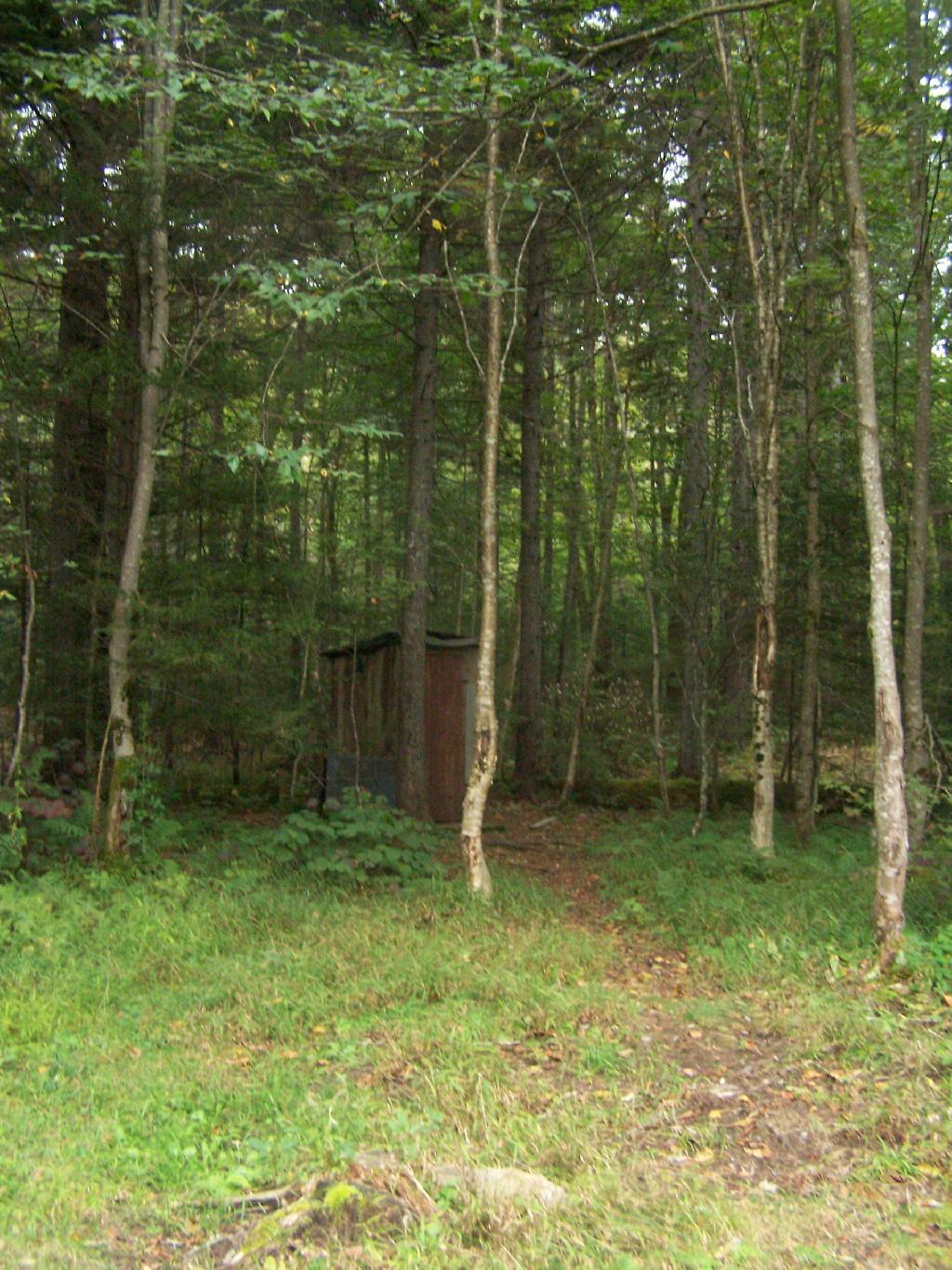
Rare Outhouse Along Campsite  🖼️

Download a JPEG Image of the Rare Outhouse Along Campsite.

Rare Outhouse Along Campsite ...

The out house looked like it was in decent shape. This is surprising, as there are no other sites AFAIK with outhouses. This is disappointing, as outhouses help improve backcountry sanitation.

Taken on Monday September 6, 2010 at Piseco-Powley Road.

Thematic Map: Coldest Day of the Year in NY State

More about Piseco-Powley Road...

The 17-mile Piseco-Powley Road is a remote dirt route cutting through the Adirondack's Ferris Lake Wild Forest. It features 22 primitive roadside campsites, including four spots at Powley Place where the road crosses the West Branch of the East Canada Creek.

Map: Big Alderbed Lake Trail
Map: Clockmill Corners to NY 10
Map: Goldmine Stream Falls
Map: House Pond Trail
Map: Lower Powley Bridge to Sugarbush Mountain
Map: Meco Lake Trail (Piseco-Powley Road)
Map: Overview Map Piseco-Powley Road
Map: Powley Place - East Canada Creek - Kayak Canoe
Map: Sand Lake Trail
Map: Sugarbush Mountain to Clockmill Corners
SVGZ Graphic: high-temp-ny [Expires June 19 2026]
Terrain Map: Edick Road Swimming Hole
Terrain Map: Juneteenth 2022 Weekend
Terrain Map: Powley Road
Thematic Map: Piseco Road Swimming Holes
Photo: Watching Rain Come Dwon
Photo: Campsite 9
Photo: Dreary skies over the East Canada Creek
Photo: First evening of summer
Photo: Mohawk River
Photo: Along Powley Road
Photo: First night camping was kind of gray
Photo: Last night at camp
Photo: From the Road
Photo: Wind

Leave a Reply

Your email address will not be published. Required fields are marked *