Glare 🖼️
Download a JPEG Image of the Glare.
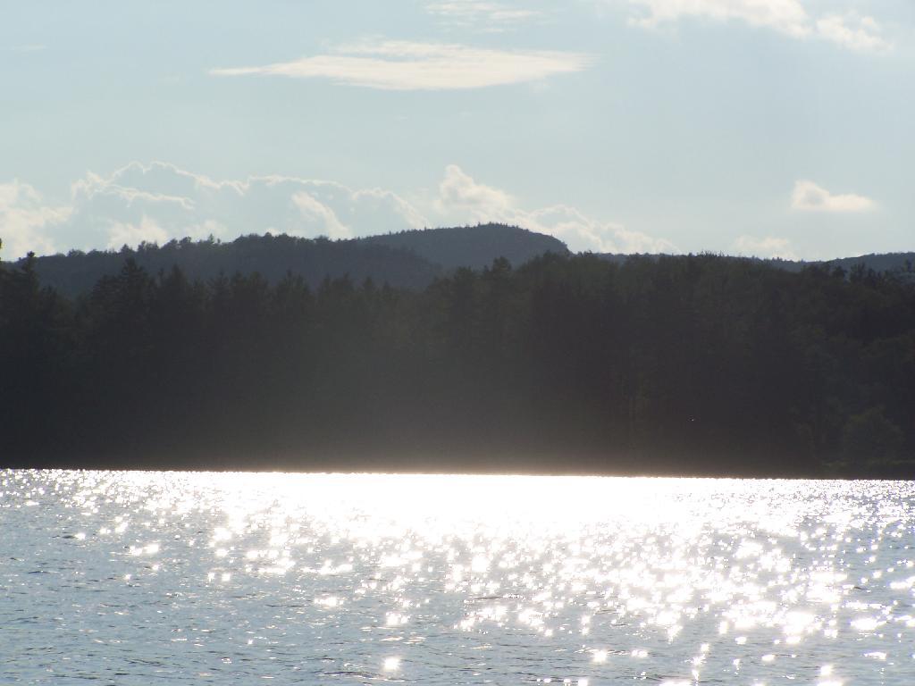
Glare ...
In the background rises Silver Lake Mountain, that beautiful ridge one sees most clearly from paddling around Hitchins Pond/Lows Lake in the Bog River Canoe Area.
Taken on Thursday August 12, 2010 at Horseshoe Lake.

More about Horseshoe Lake...
Horseshoe Lake in Franklin County, is located about 15 miles south west of Tupper Lake. There are 6 campsites along the lake, plus 4 others on roads nearby. Near the Hitchens Pond put-in for Lows Lake, a popular spot for camping and paddling.


