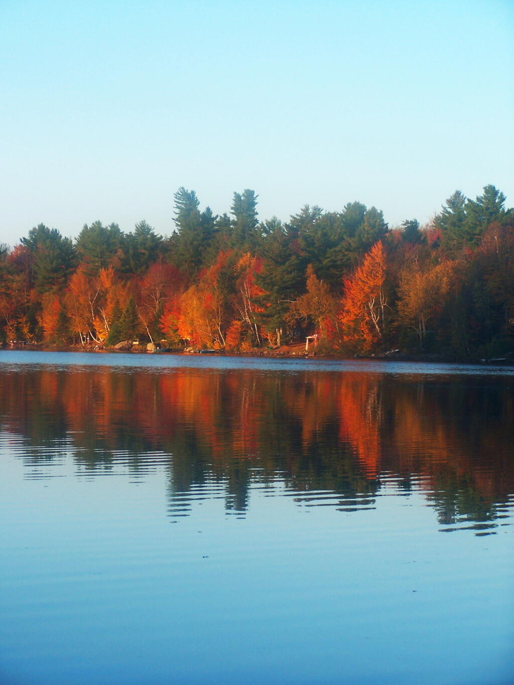
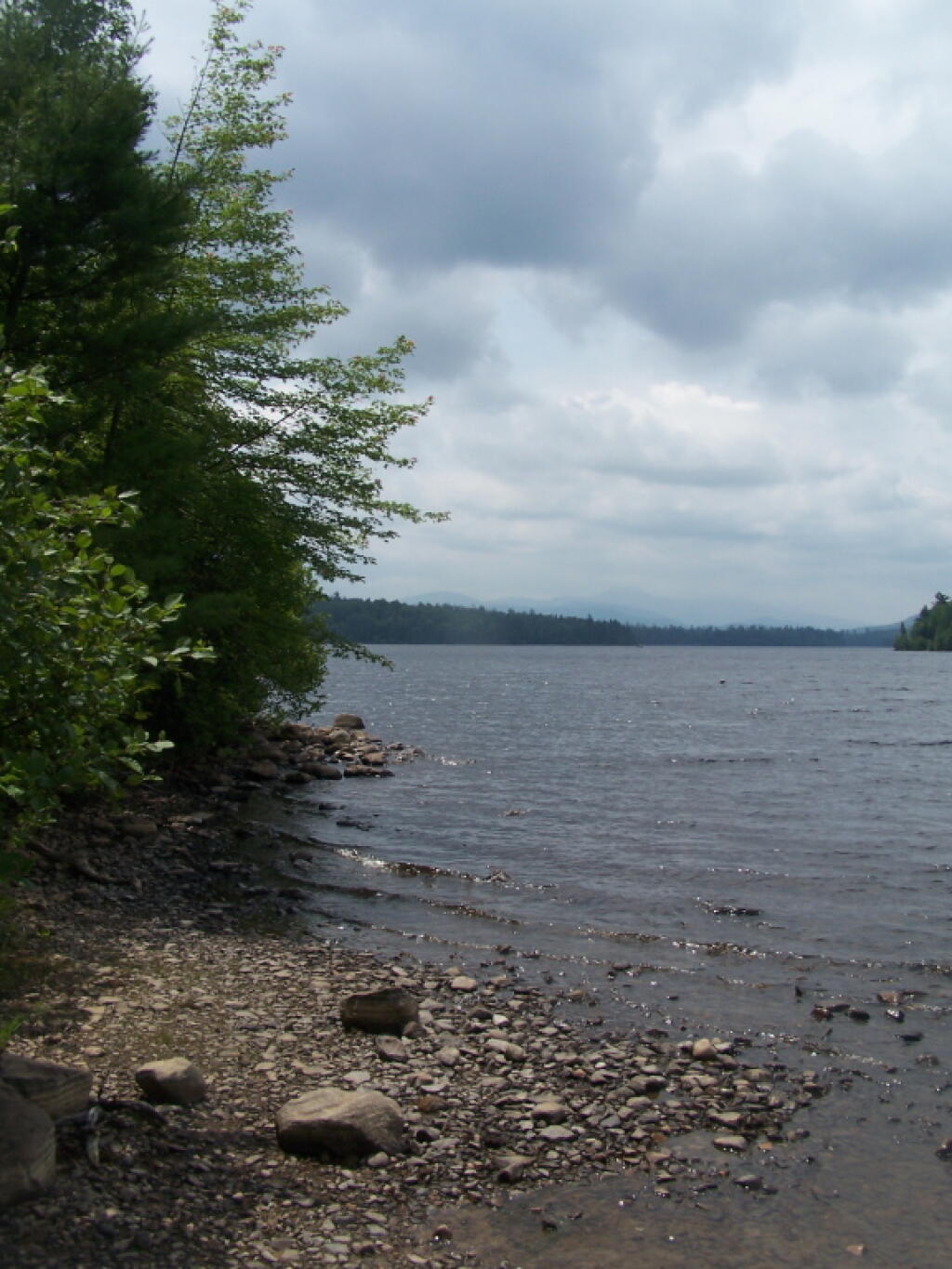
No Large Motorboats on This Water 🖼️

Download a JPEG Image of the No Large Motorboats on This Water.
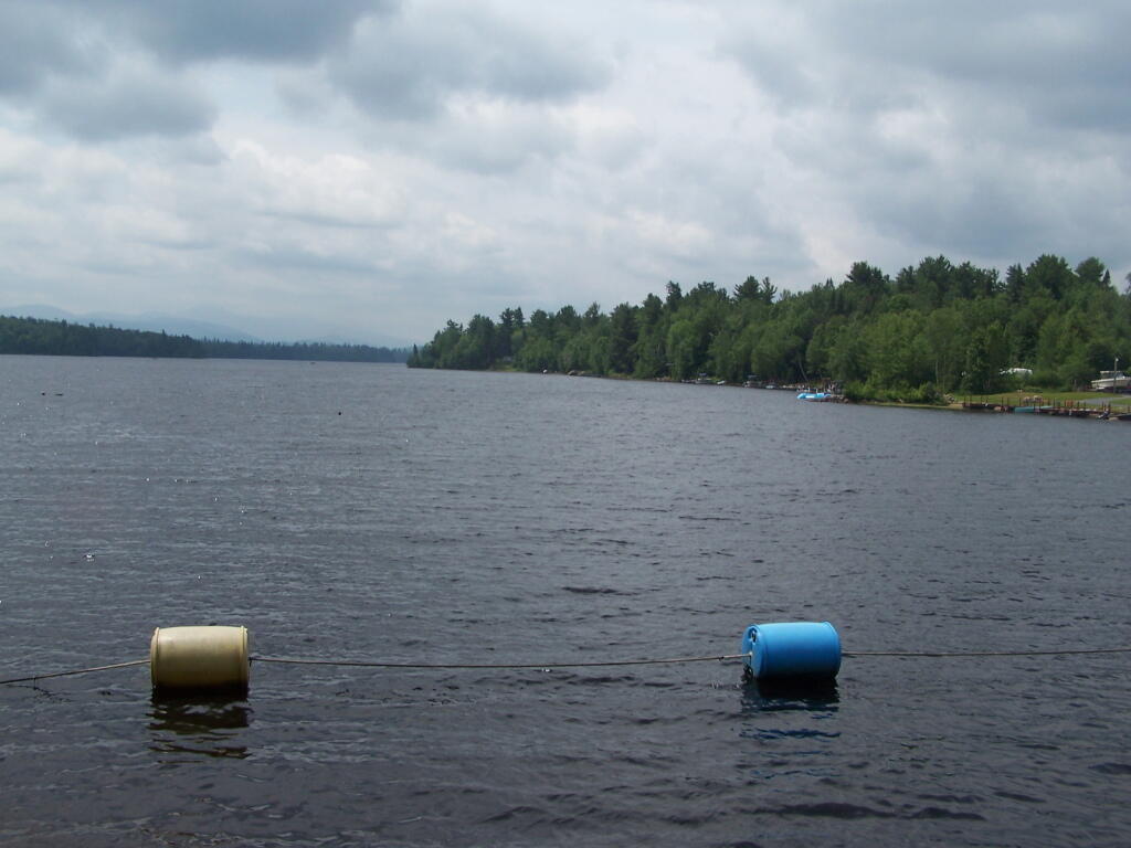
No Large Motorboats on This Water ...
Taken on Sunday July 3, 2011 at Union Falls Pond.
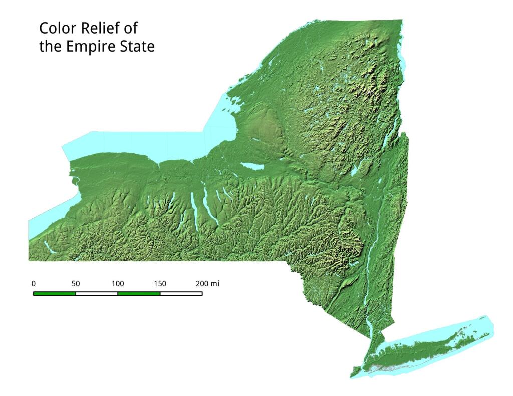
More about Union Falls Pond...
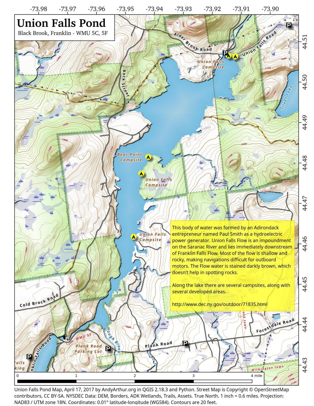
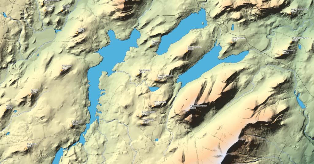
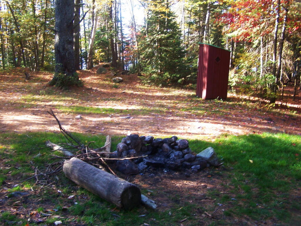
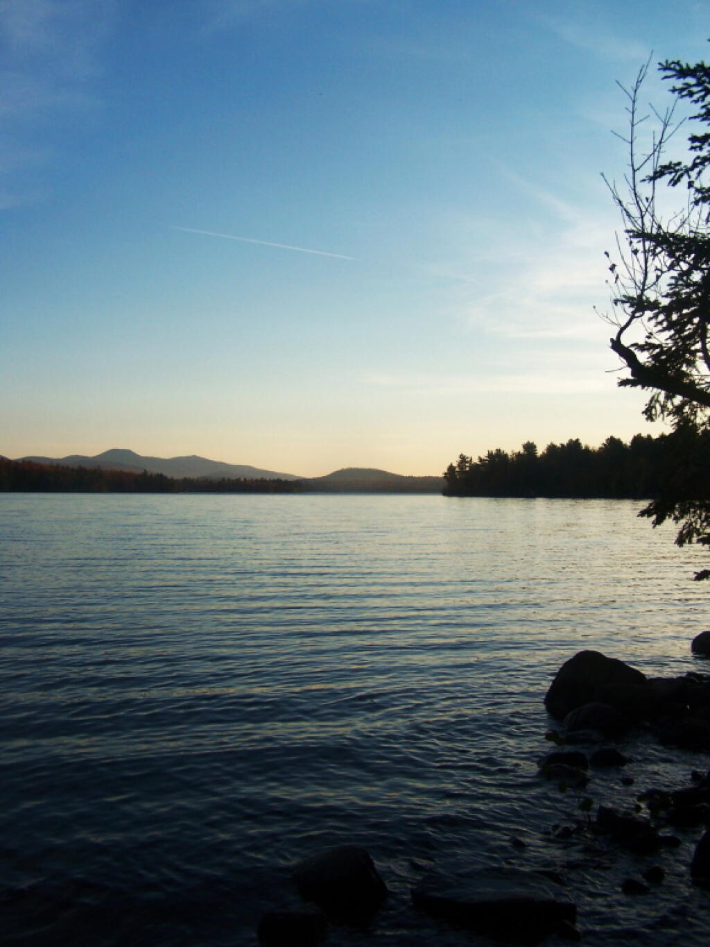
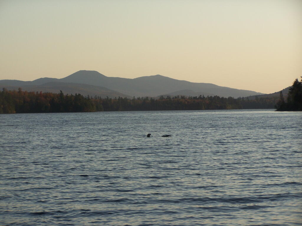
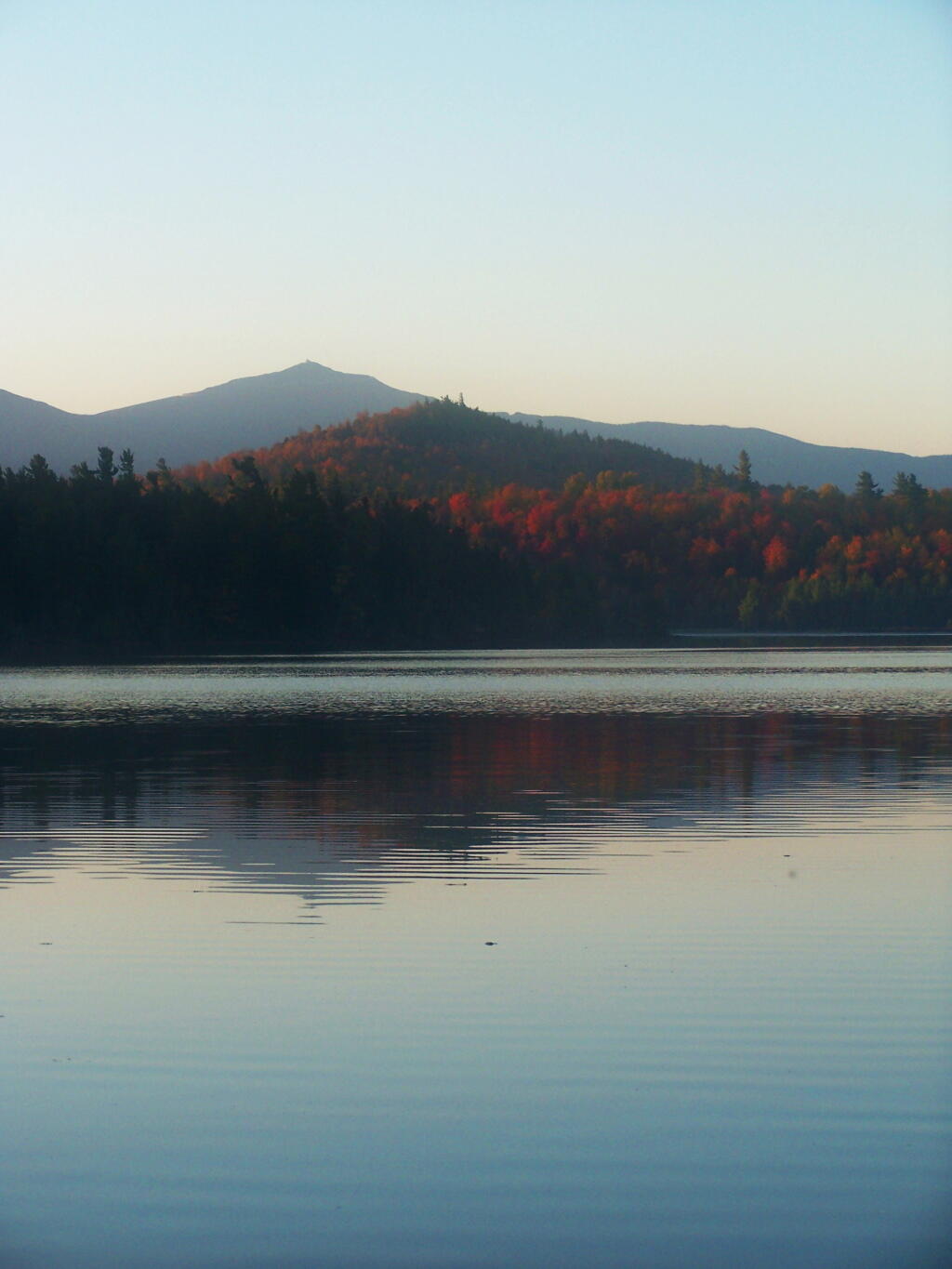
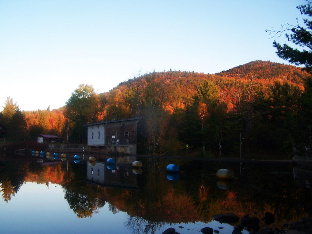
A 3-mile lake north of Franklin Falls in the southeast part of the Town of Franklin. Offers paddling with breathtaking views of Whiteface Mountain, with several campsites along the lake.