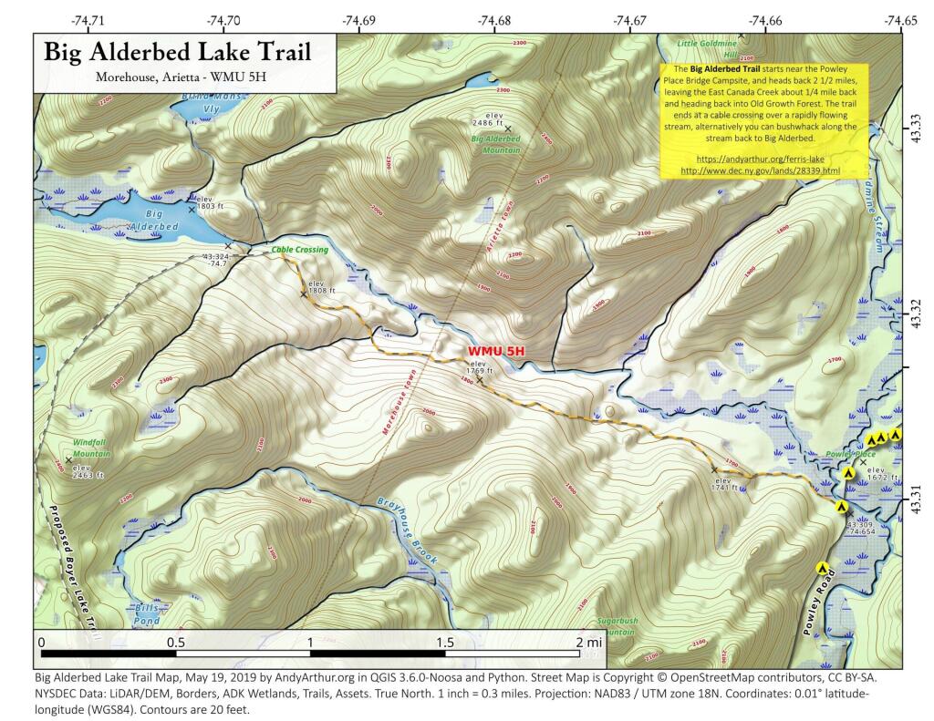
Terrain Map: New York and New England Terrian

More about Union Falls Pond...

A 3-mile lake north of Franklin Falls in the southeast part of the Town of Franklin. Offers paddling with breathtaking views of Whiteface Mountain, with several campsites along the lake.
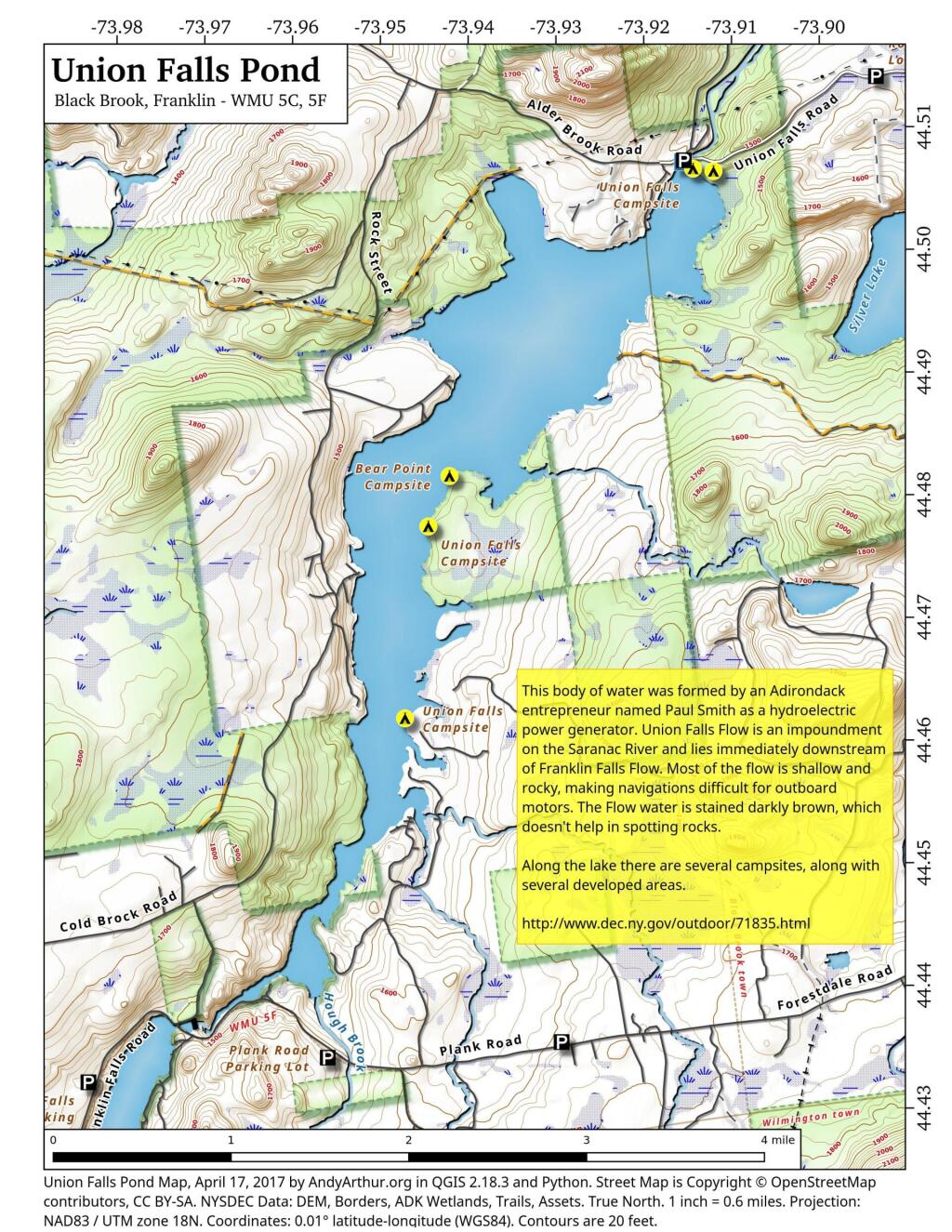
Map: Union Falls Pond
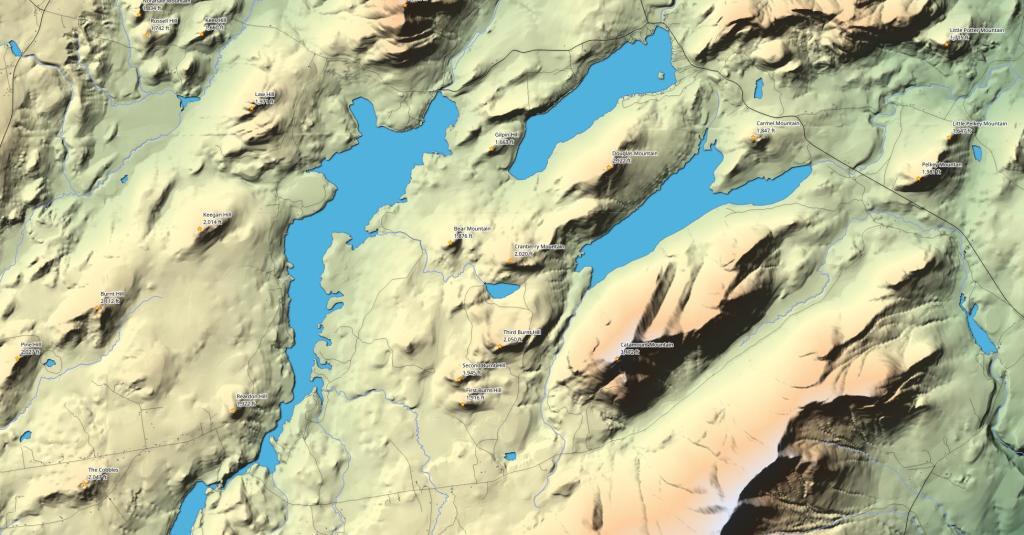
Terrain Map: Union Falls Pond And Surrounding Areas
Photo: Whiteface and Catamount Mountain in Morning
Photo: Whiteface and Catamount Mountain in Evening
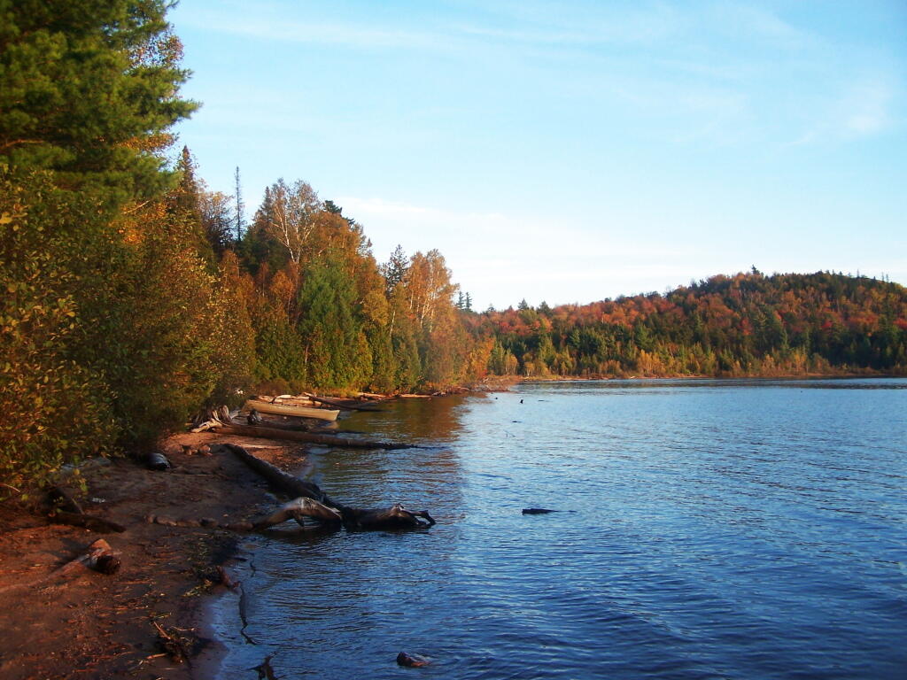
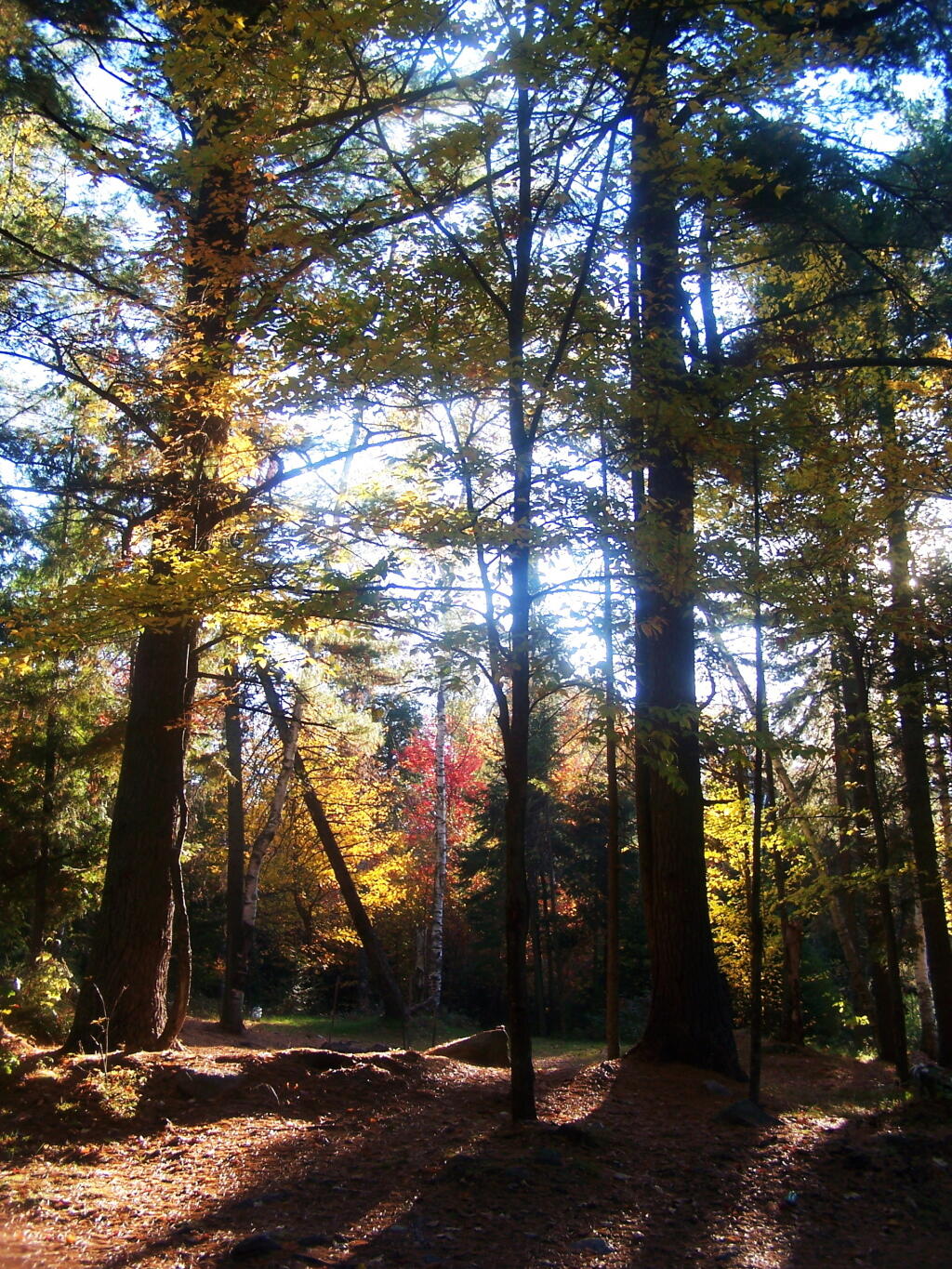
Photo: Along Edge of Union Falls Pond
Photo: Darkness Comes Too Early
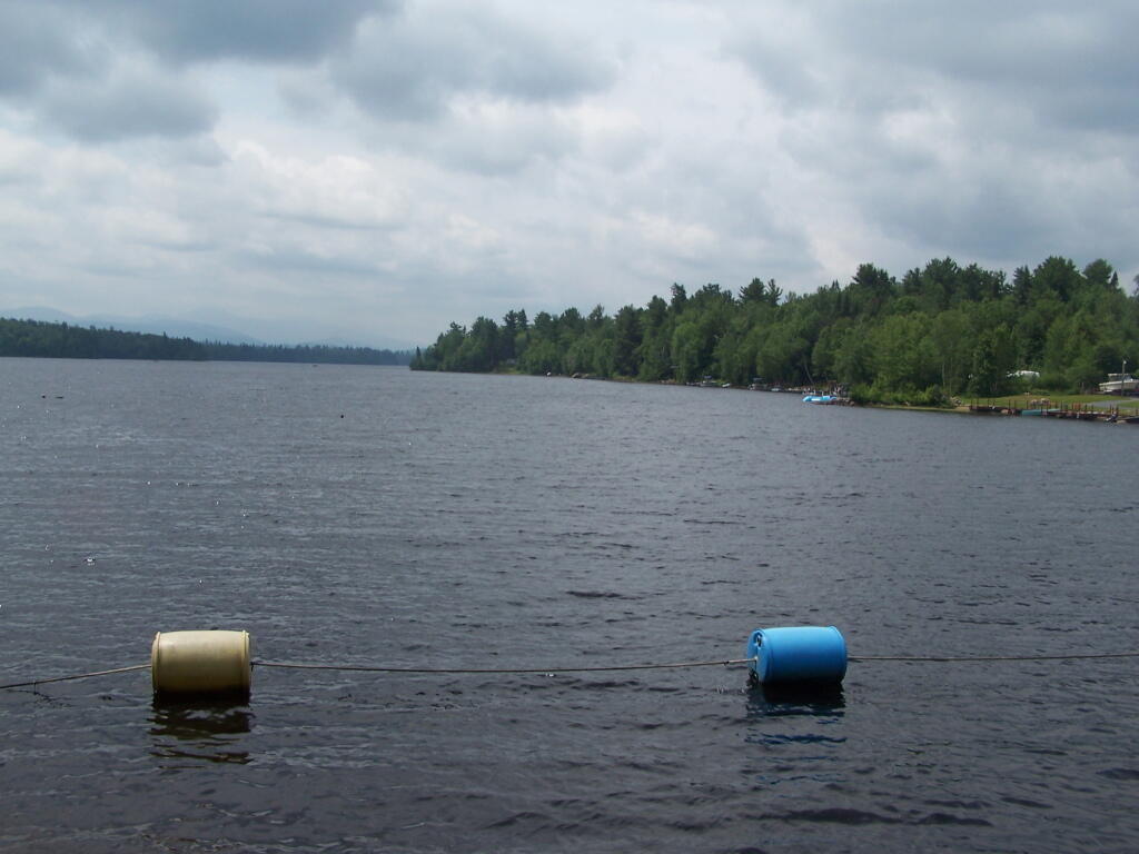
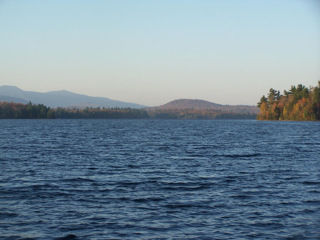
Photo: No Large Motorboats on This Water
Photo: Getting Fire Ready to Use Dutch Oven
Photo: Little Bear Bay in Evening
Photo: Carry to Sacandaga River
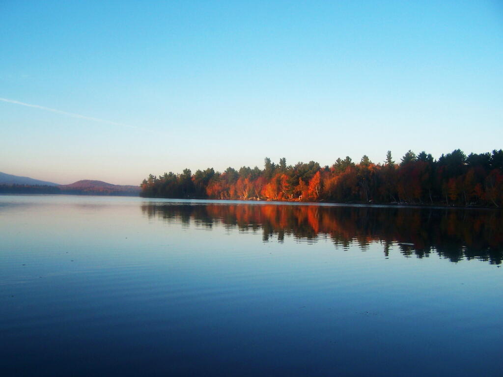
Photo: Colorful Reflections
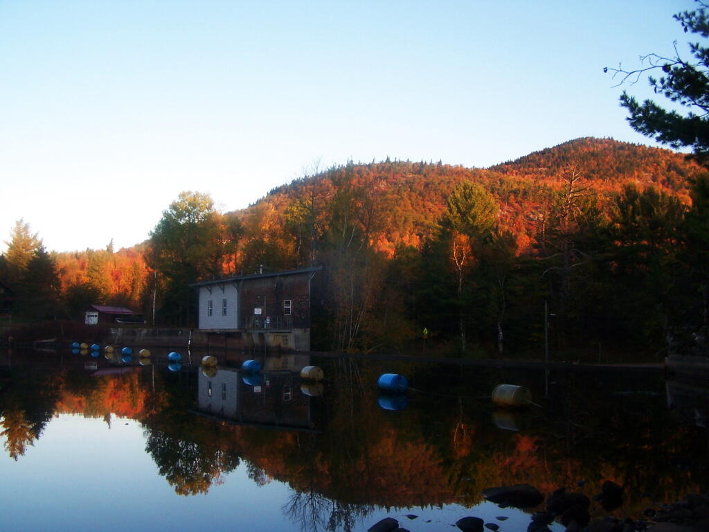
Photo: Union Falls Spillway

Leave a Reply

Your email address will not be published. Required fields are marked *