Spruce Along East Canada Creek 🖼️
Download a High Resolution JPEG Image of the Spruce Along East Canada Creek or an Adobe Acrobat Printable PDF of the Spruce Along East Canada Creek.
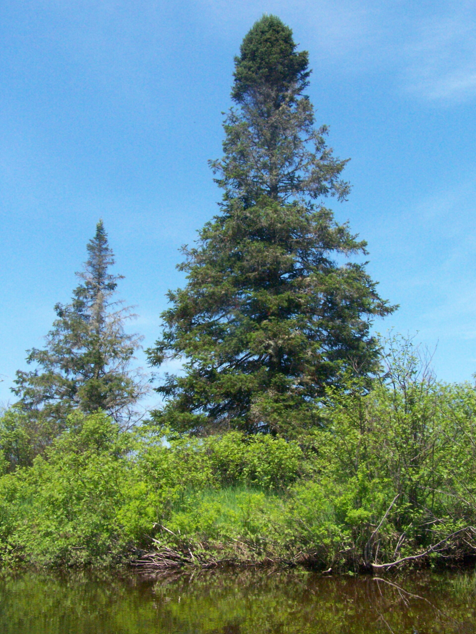
Spruce Along East Canada Creek ...
This one was not old growth, but still pretty on this sunny springtime morning.
Taken on Monday May 30, 2011 at Piseco-Powley Road.

More about Piseco-Powley Road...
The 17-mile Piseco-Powley Road is a remote dirt route cutting through the Adirondack's Ferris Lake Wild Forest. It features 22 primitive roadside campsites, including four spots at Powley Place where the road crosses the West Branch of the East Canada Creek.
Download the PDF Map Pack with All Maps from Piseco-Powley Road.


")


