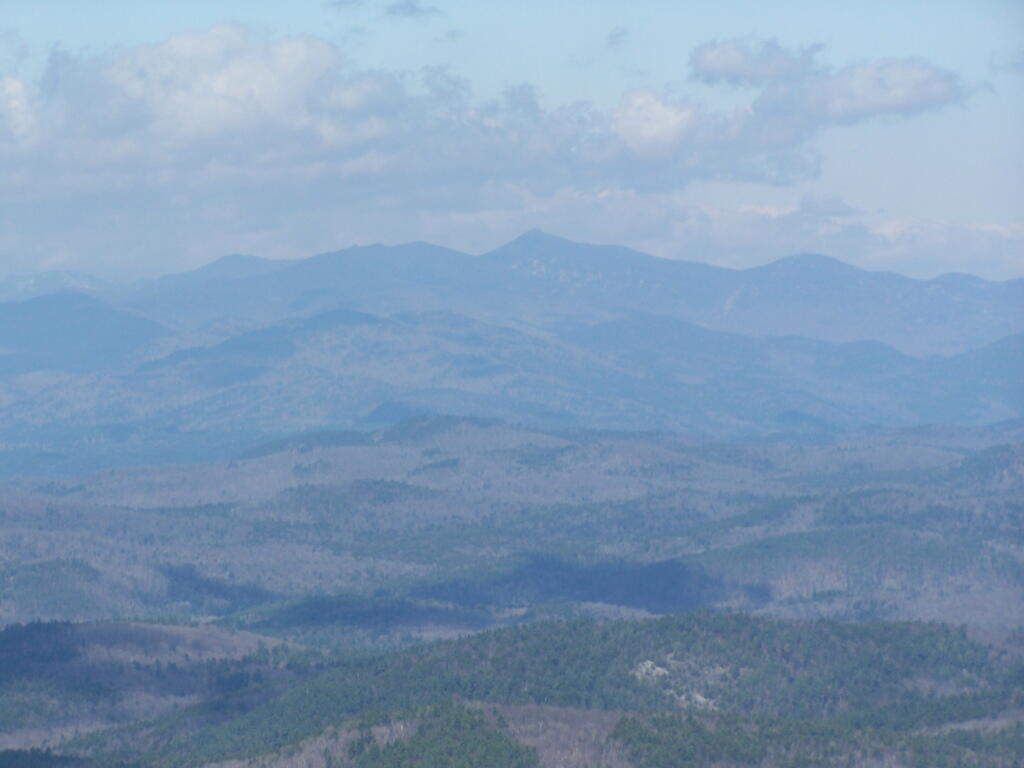
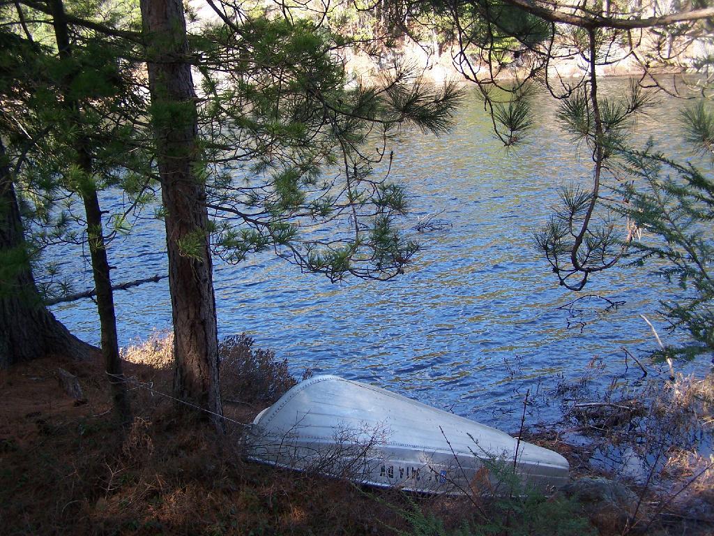
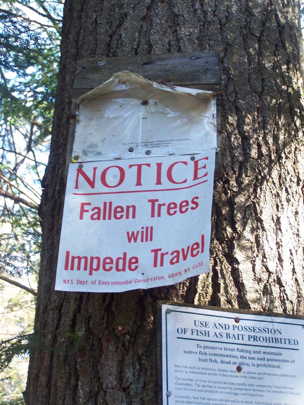
Crane Pond from Pharaoh Mountain 🖼️
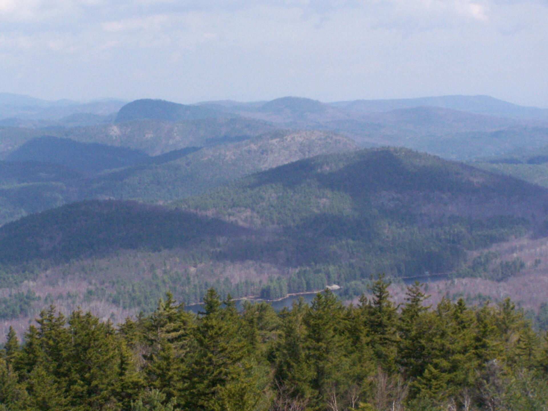
Download a High Resolution JPEG Image of the Crane Pond from Pharaoh Mountain or an Adobe Acrobat Printable PDF of the Crane Pond from Pharaoh Mountain.
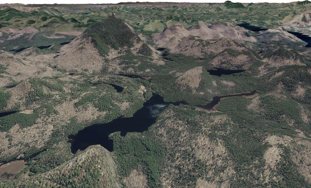
Crane Pond from Pharaoh Mountain ...
Taken on Sunday April 11, 2010 at Pharaoh Lake Wilderness.
More about Pharaoh Lake Wilderness...
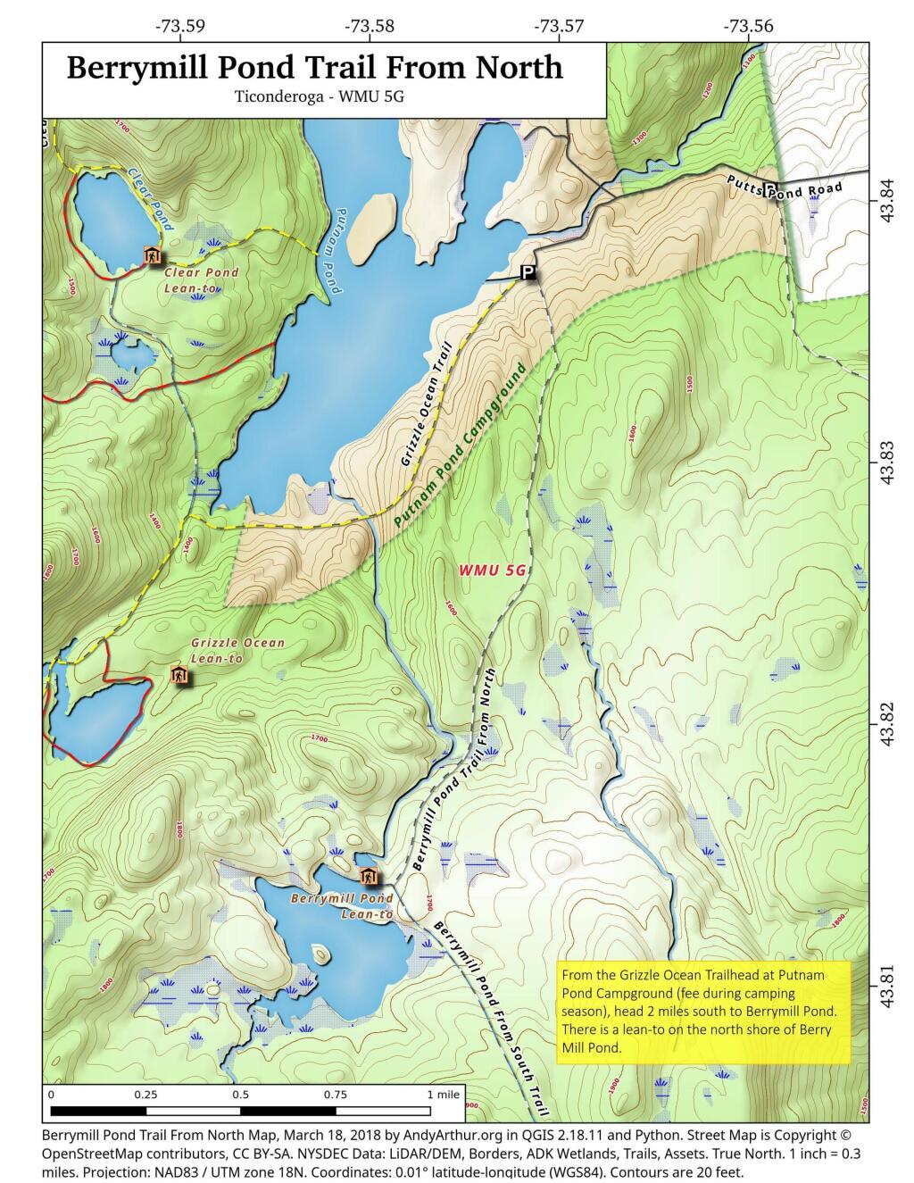
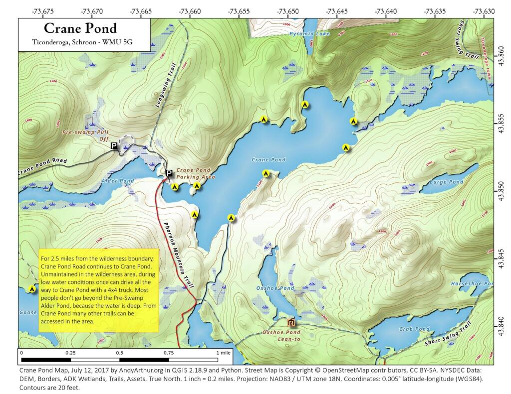
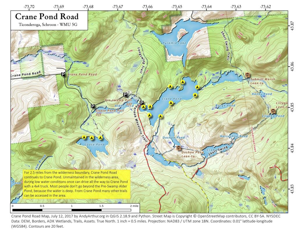
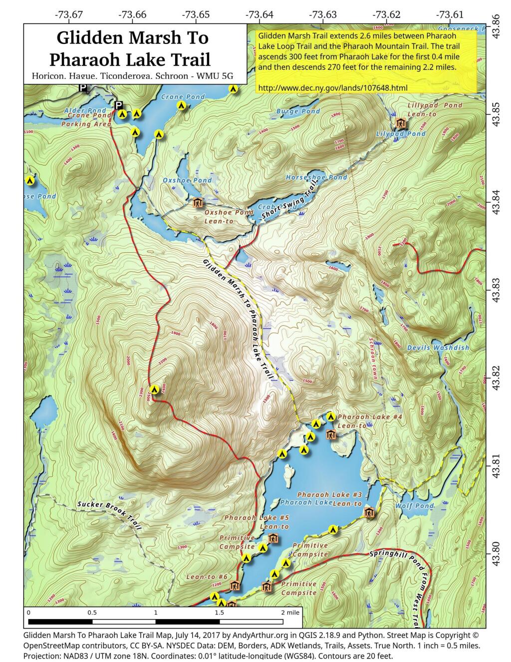
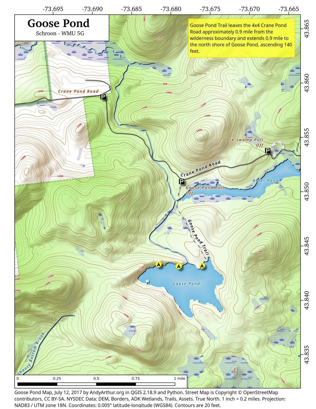
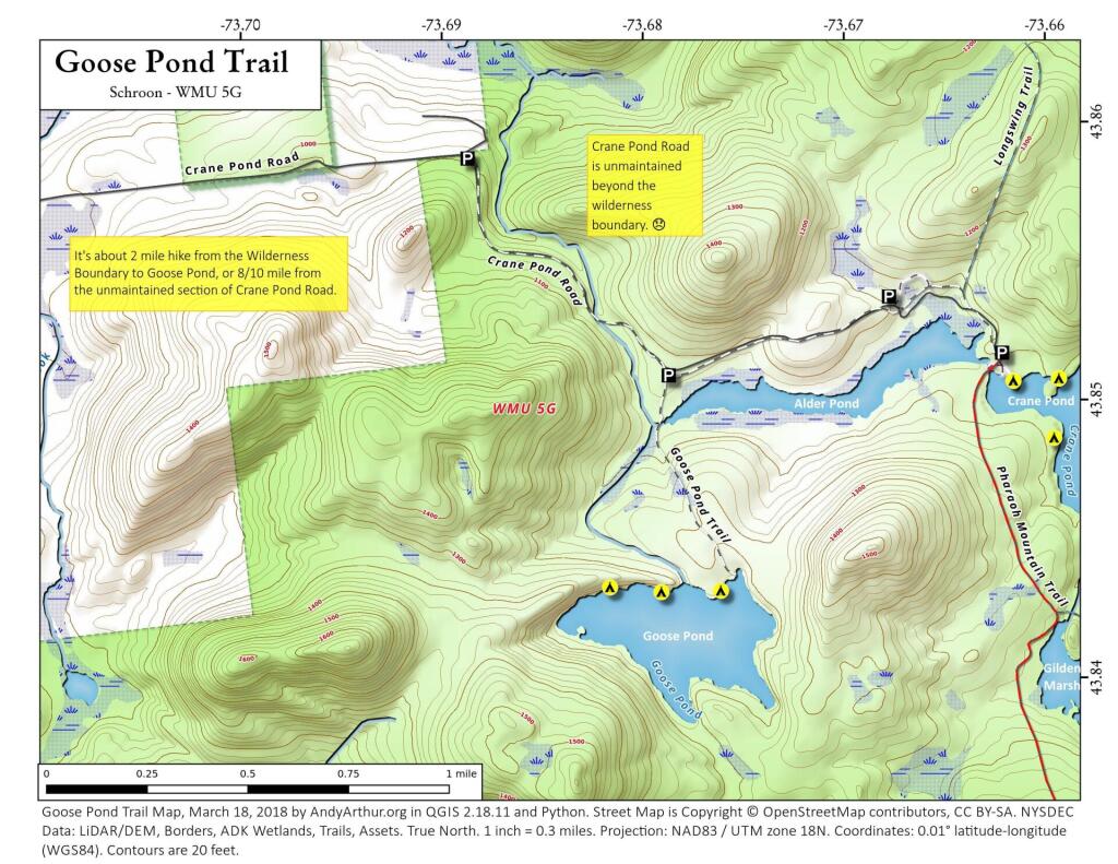
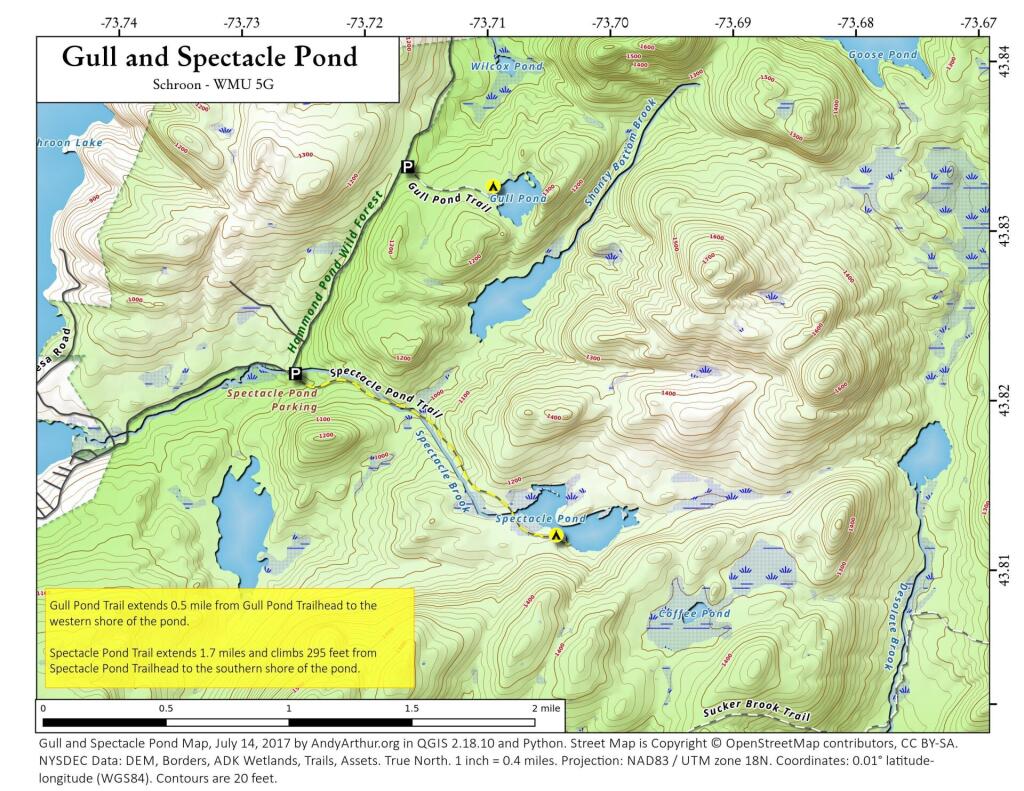
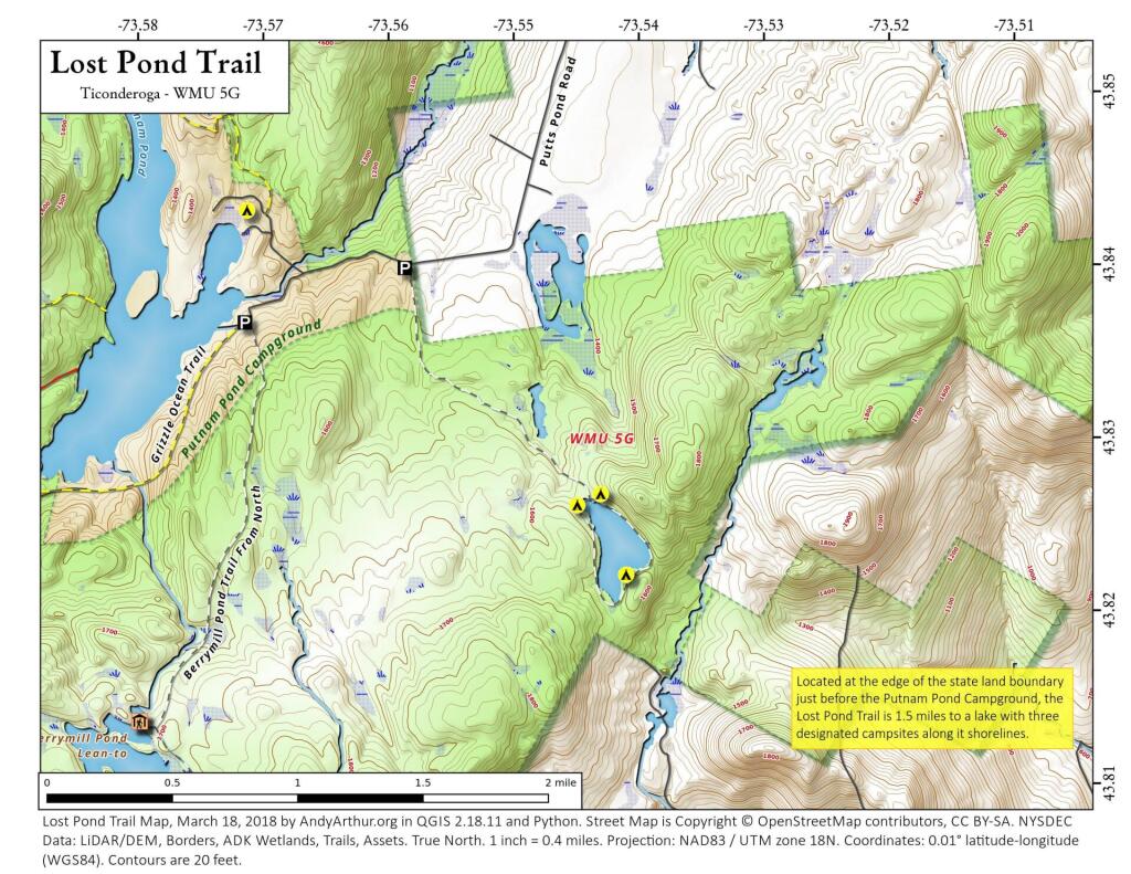
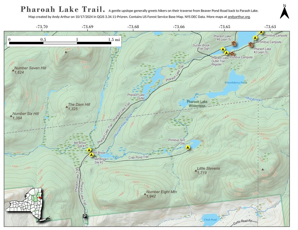
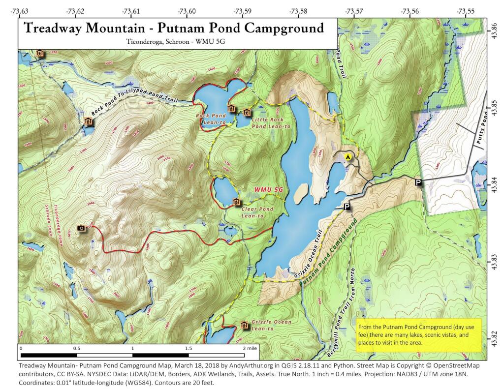
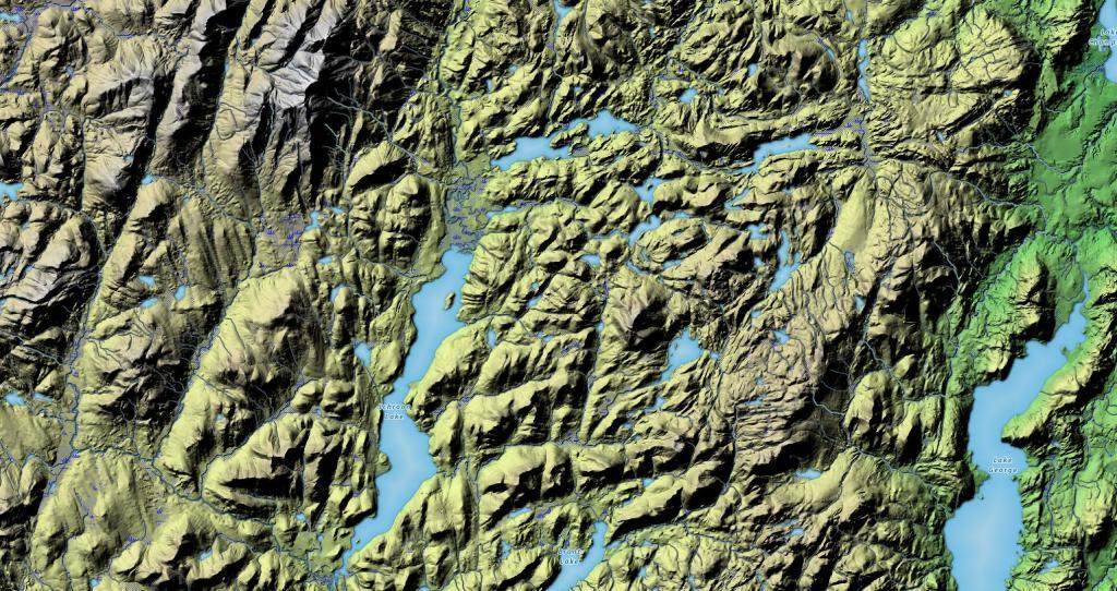
The Pharaoh Lake Wilderness Area, an Adirondack Park unit of New York's Forest Preserve, straddles the Essex County-Warren County line in the towns of Ticonderoga, Hague, Horicon and Schroon. The county road along the east shore of Schroon Lake forms the western boundary; to the north, private land and NY 74 form the boundary. The state land boundary forms most of the remaining perimeter except for a stretch of NY 8 on the south. The area contains 39 bodies of water covering 1,100 acres (4.4 km2), 62.8 miles (101 km) of foot trails, and 14 lean-tos. Download all maps as a PDF: https://www.scribd.com/document/640711783/Pharaoh-Lake-Wilderness-Map-Pack
Download the PDF Map Pack with All Maps from Pharaoh Lake Wilderness.