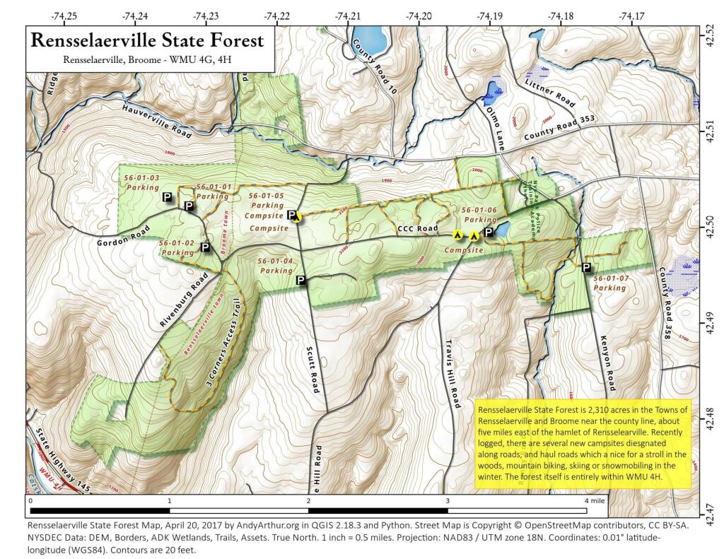
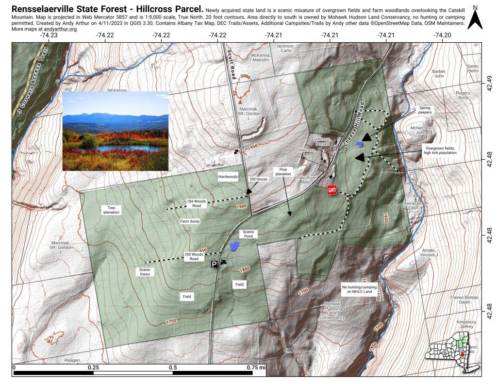
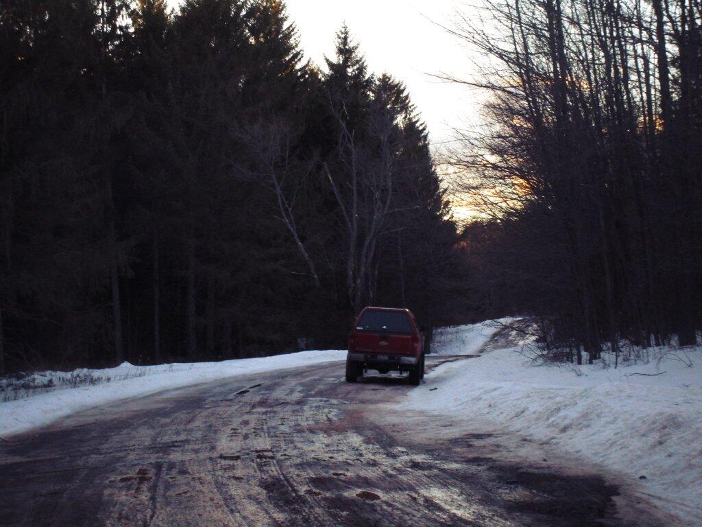
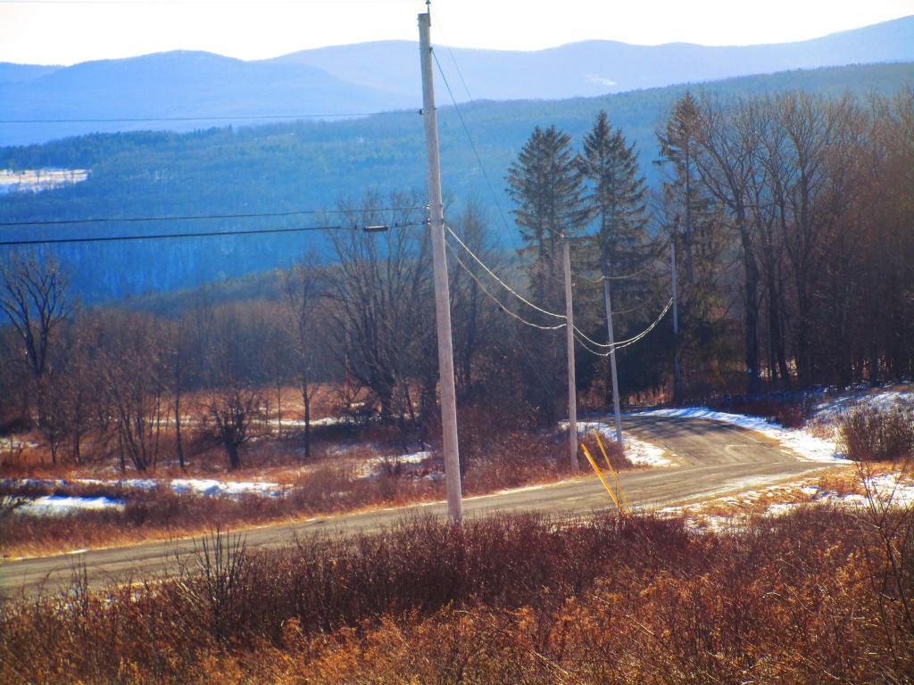
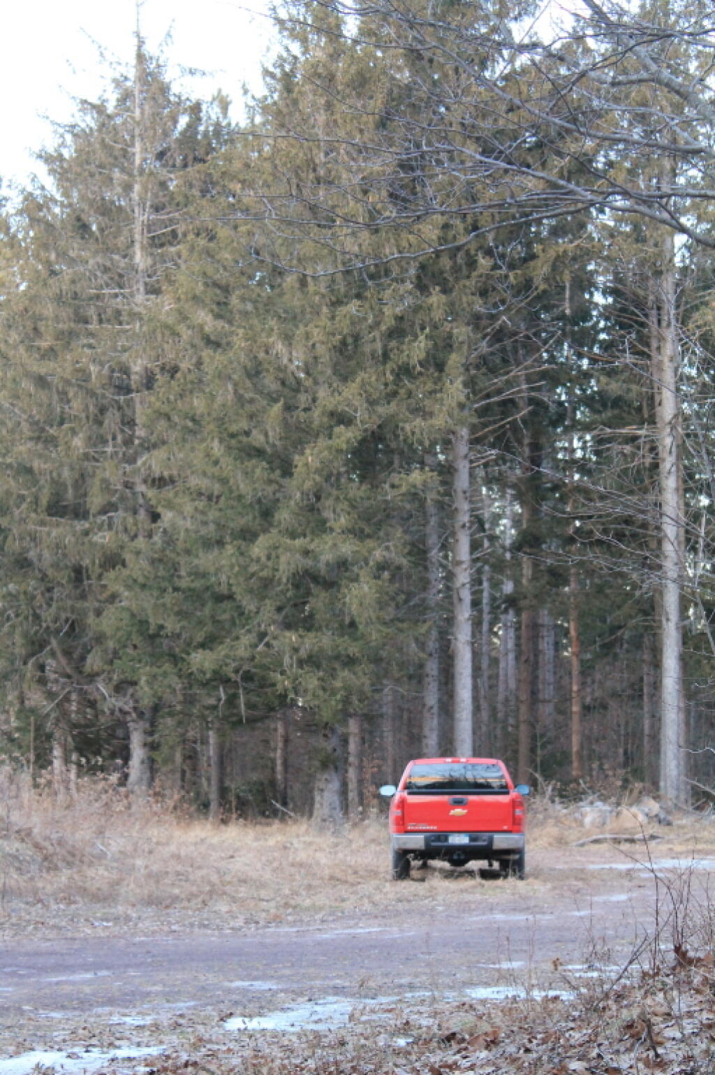
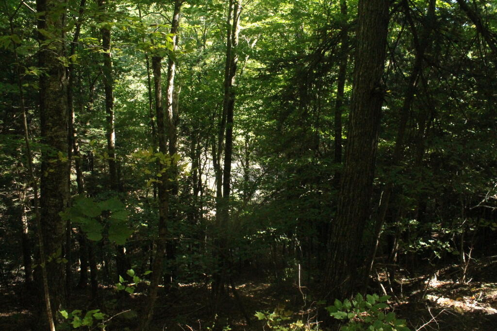
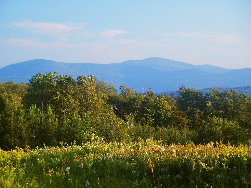
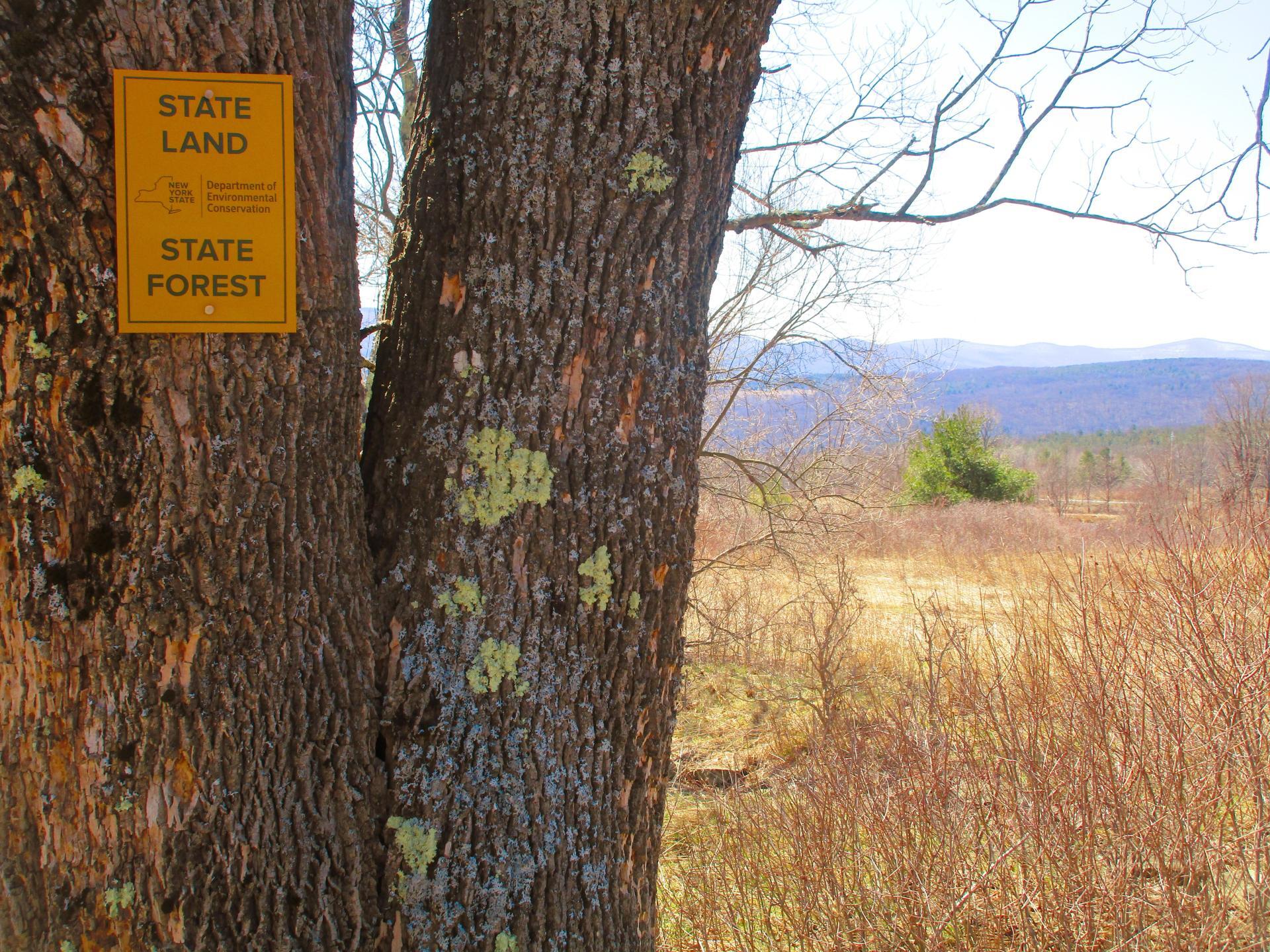
Hillcross Parcel is Now State Land 🖼️
Download a High Resolution JPEG Image of the Hillcross Parcel is Now State Land or an Adobe Acrobat Printable PDF of the Hillcross Parcel is Now State Land.
Hillcross Parcel is Now State Land ...
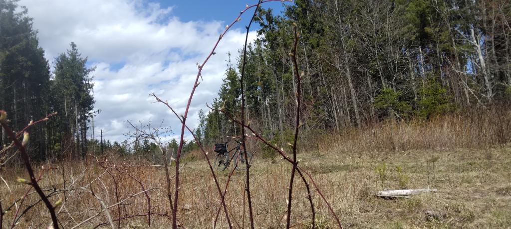
Taken on Sunday April 9, 2023 at Rensselearville State Forest.
Location: 42.614337, -73.851668 📌
More about Rensselearville State Forest...
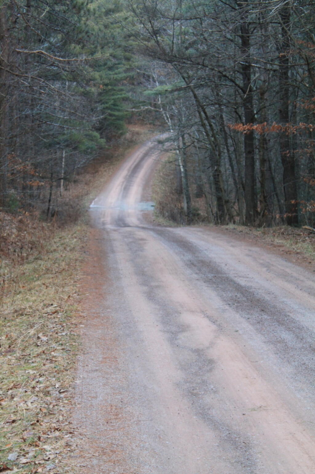
A well-kept secret in the western part of Rensselaerville. Minimal signage, best approached on Cheese Hill Road from County Route 358 or State Route 145 (Preston Hollow), or from Gulf Road off County Route 353. The area has several hilly, narrow seasonal roads--not for the faint of heart. The multi-use trails aren't blazed but are indicated by "Motor Vehicle Trail" signs. Recreation in this beautiful forest includes hunting, trapping, fishing, hiking, cross-country skiing, snowmobiling, mountain biking, nature observation, and birdwatching.
http://www.hilltowns.org/rensselaerville-state-forest.html
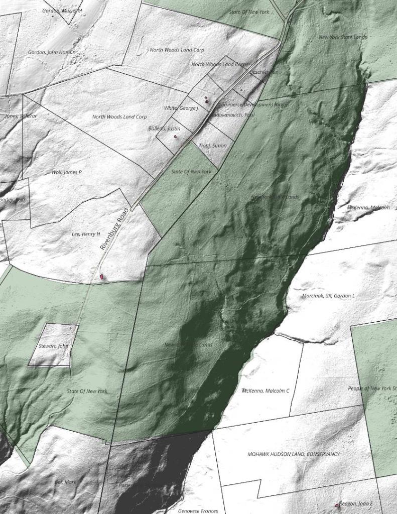
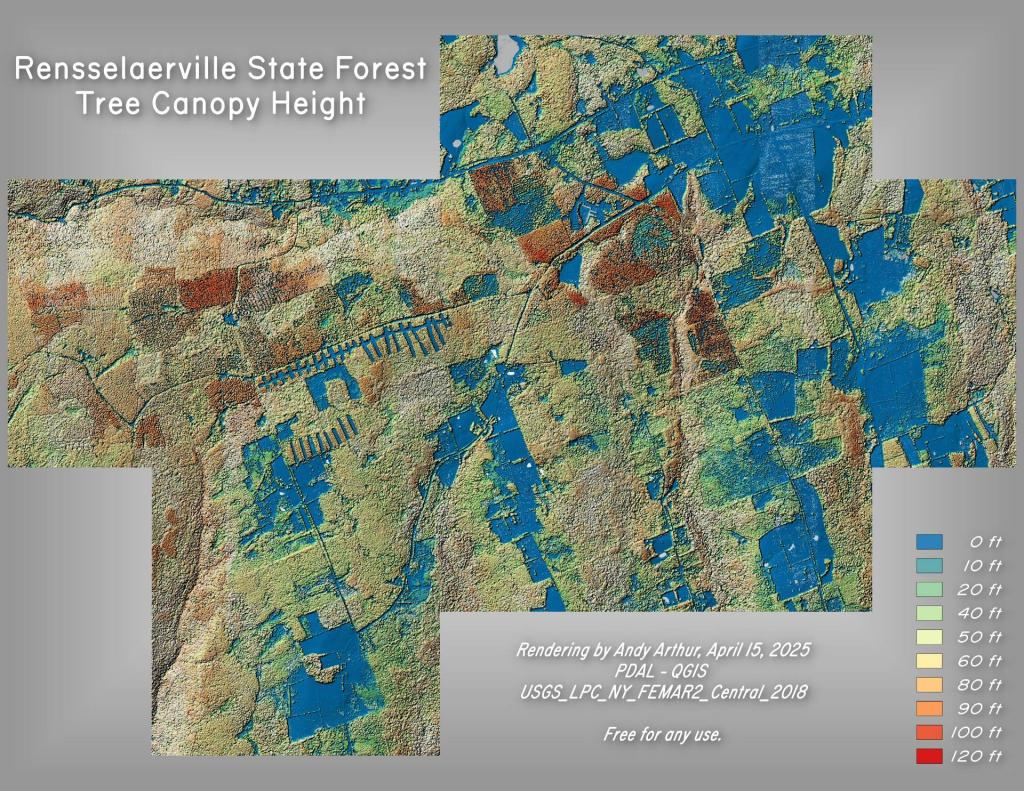
Download the PDF Map Pack with All Maps from Rensselearville State Forest.