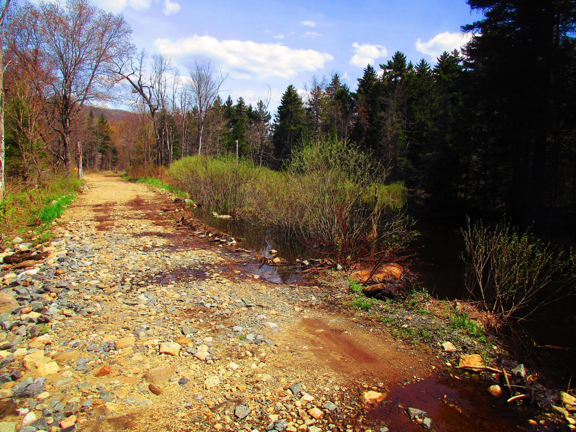
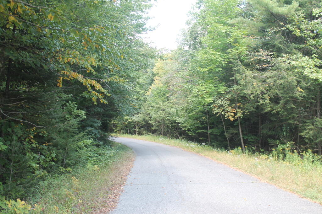
Robb Creek Road was damaged by beaver dam 🖼️
Download a High Resolution JPEG Image of the Robb Creek Road was damaged by beaver dam or an Adobe Acrobat Printable PDF of the Robb Creek Road was damaged by beaver dam.
Robb Creek Road was damaged by beaver dam ...
It is passable but was pretty rough. But it was fine for walking. The mallard ducks liked the pond though created by the beavers.
Taken on Saturday May 15, 2021 at Perkins Clearing and Speculator Tree Farm Conservation Easement Lands.
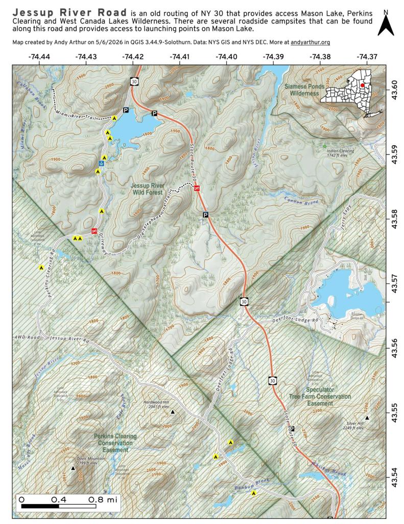
More about Perkins Clearing and Speculator Tree Farm Conservation Easement Lands...
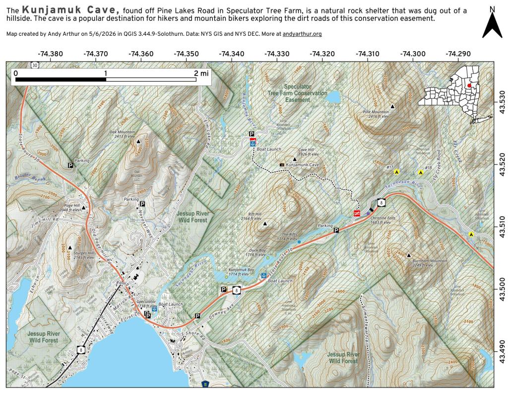
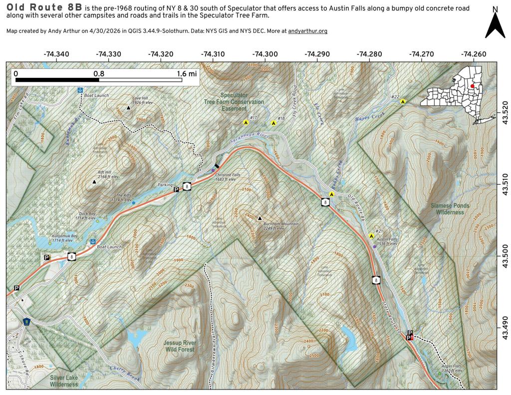
The Perkins Clearing/Speculator Tree Farm Conservation Easement Lands span 40,000 acres near Speculator, divided into the 14,332-acre Perkins Clearing Tract and the 21,648-acre Speculator Tree Farm Tract. Access is allowed with limitations due to private ownership, active logging, and leased cabins. Public recreation is permitted within special guidelines -- camping only at designated sites, certain trails and roads may be closed for logging -- look for signs that designate use.
Download the PDF Map Pack with All Maps from Perkins Clearing and Speculator Tree Farm Conservation Easement Lands.


![Photo: Austin Falls Pull Off [Expires October 27 2026]](/data/photo_11464_small.jpg "Photo: Austin Falls Pull Off [Expires October 27 2026]")