Litter Barrel 🖼️
Download a High Resolution JPEG Image of the Litter Barrel or an Adobe Acrobat Printable PDF of the Litter Barrel.
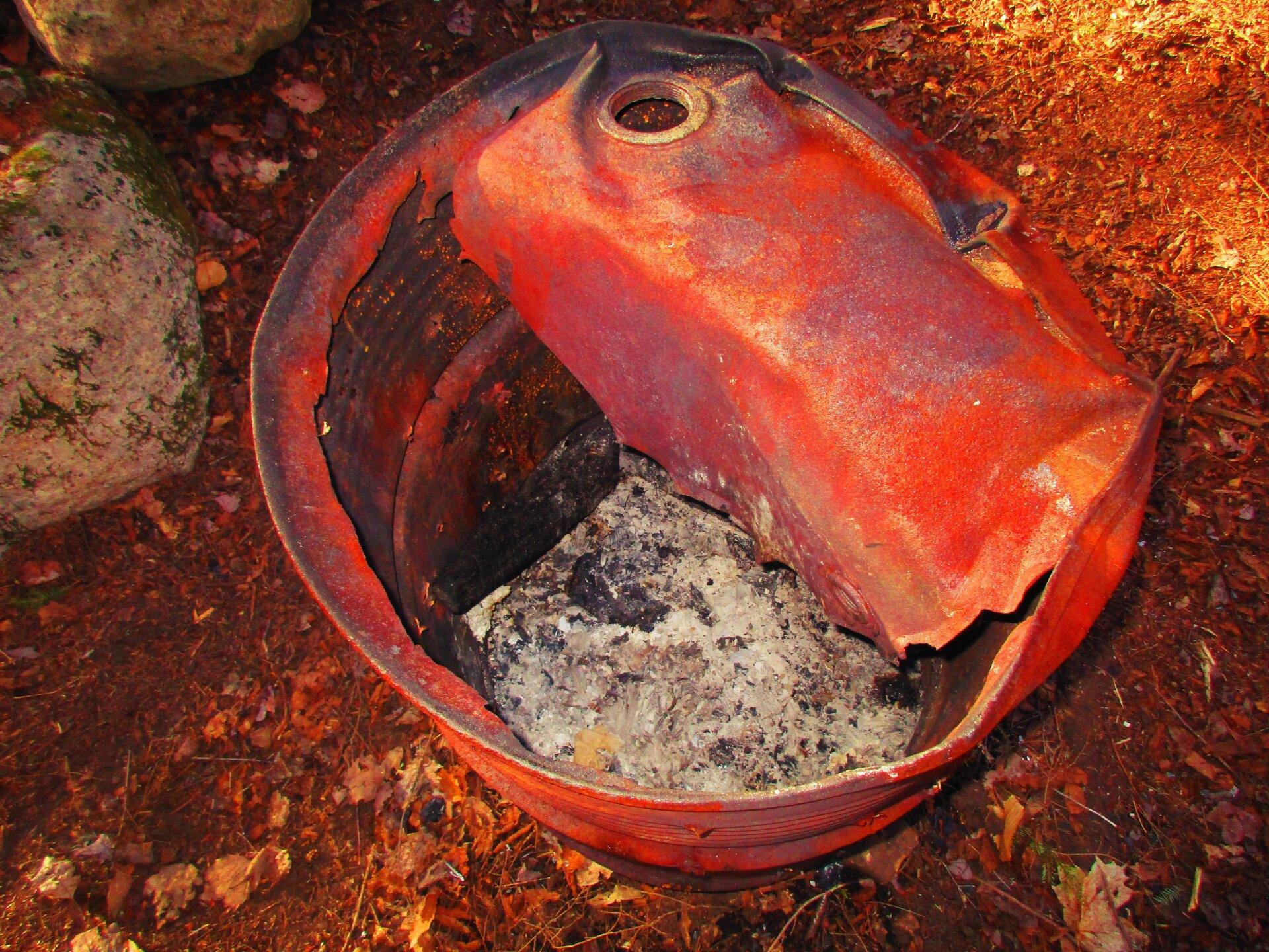
Litter Barrel ...
Sometimes you find old litter barrels in the woods, from back when Conservation Department had such barrels and they regularly dumped them in dump sites in woods, before they implemented carry-in, carry-out and controlled landfills. This one has been turned into a burning barrel, at this campsite both for warm and disposal at this campsite near Robb Creek and Sacnadaga River.
Taken on Monday April 26, 2021 at Perkins Clearing and Speculator Tree Farm Conservation Easement Lands.

More about Perkins Clearing and Speculator Tree Farm Conservation Easement Lands...
The Perkins Clearing/Speculator Tree Farm Conservation Easement Lands span 40,000 acres near Speculator, divided into the 14,332-acre Perkins Clearing Tract and the 21,648-acre Speculator Tree Farm Tract. Access is allowed with limitations due to private ownership, active logging, and leased cabins. Public recreation is permitted within special guidelines -- camping only at designated sites, certain trails and roads may be closed for logging -- look for signs that designate use.
Download the PDF Map Pack with All Maps from Perkins Clearing and Speculator Tree Farm Conservation Easement Lands.


