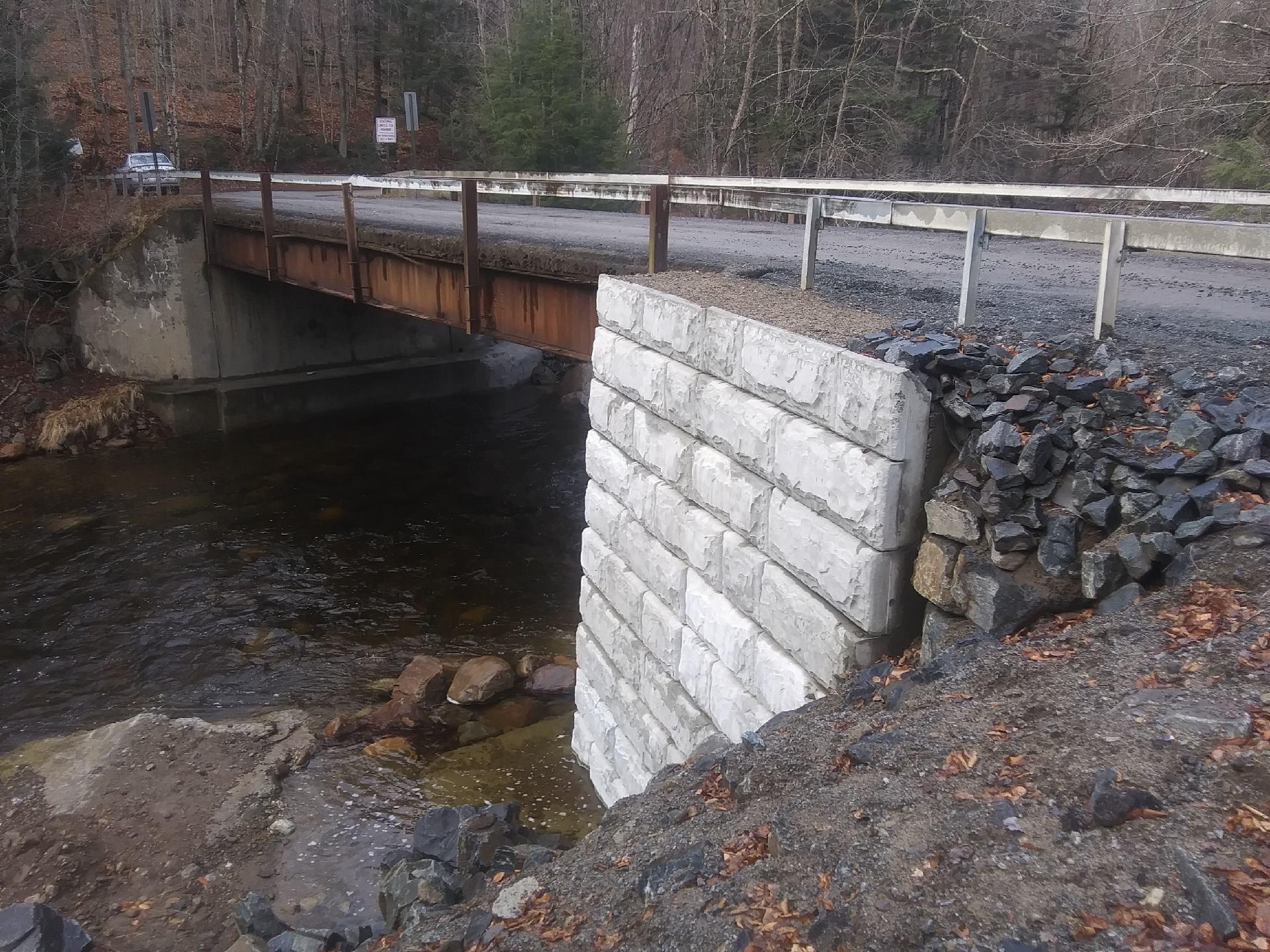
The $80,000 wing wall that took one year to complete … 🚧 🖼️
Download a High Resolution JPEG Image of the The $80,000 wing wall that took one year to complete ... 🚧 or an Adobe Acrobat Printable PDF of the The $80,000 wing wall that took one year to complete ... 🚧.
The $80,000 wing wall that took one year to complete ... 🚧 ...
Your government at work, sometimes. I shouldn't complain, at least the road is open again.
Taken on Saturday November 28, 2020 at Piseco-Powley Road.

More about Piseco-Powley Road...
The 17-mile Piseco-Powley Road is a remote dirt route cutting through the Adirondack's Ferris Lake Wild Forest. It features 22 primitive roadside campsites, including four spots at Powley Place where the road crosses the West Branch of the East Canada Creek.
Download the PDF Map Pack with All Maps from Piseco-Powley Road.


")


![Photo: Powley Place [Expires July 22 2026]](/data/photo_24893_small.jpg "Photo: Powley Place [Expires July 22 2026]")


