Water Levels Have Dropped A Lot  🖼️

Download a High Resolution JPEG Image of the Water Levels Have Dropped A Lot or an Adobe Acrobat Printable PDF of the Water Levels Have Dropped A Lot.

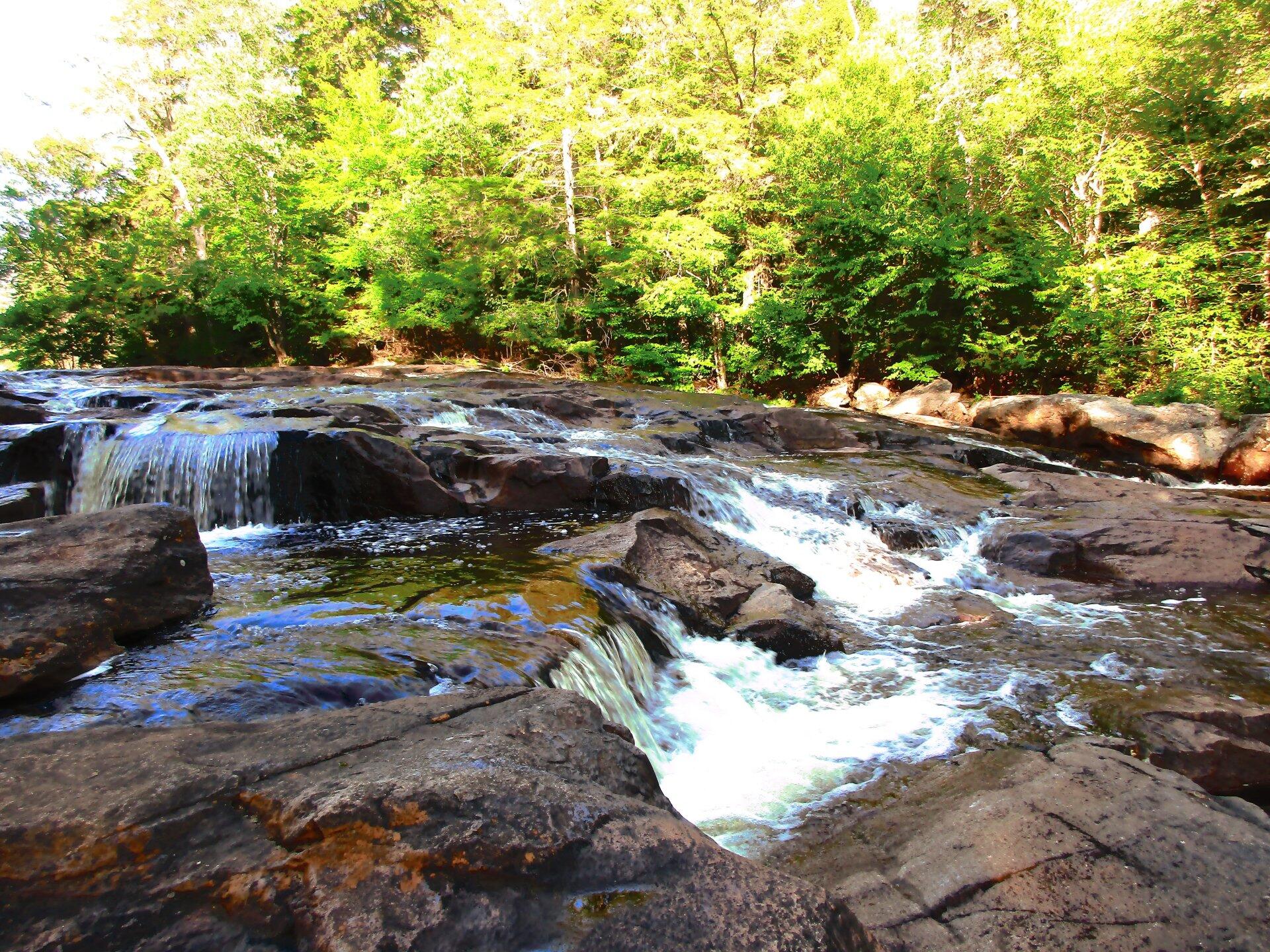
Water Levels Have Dropped A Lot ...

Heading back to the Potholers for a second weekend, I was surprised how much water levels had dropped. But then again, last week we didn't get any rain, and this area is in a dry spell as noted by the lack of water in the Potholers and theamount of dust along the roads.

Taken on Saturday July 25, 2020 at Piseco-Powley Road.

Terrain Map: Horseshoe Lake

More about Piseco-Powley Road...

The 17-mile Piseco-Powley Road is a remote dirt route cutting through the Adirondack's Ferris Lake Wild Forest. It features 22 primitive roadside campsites, including four spots at Powley Place where the road crosses the West Branch of the East Canada Creek.

Download the PDF Map Pack with All Maps from Piseco-Powley Road.

Map: Big Alderbed Lake Trail
Map: Clockmill Corners to NY 10
Map: Edick Road Swimming Hole
Map: Goldmine Stream Falls
Map: House Pond Trail
Map: Lower Powley Bridge to Sugarbush Mountain
Map: Meco Lake Trail (Piseco-Powley Road)
Map: Overview Map Piseco-Powley Road
Map: Piseco Road Swimming Holes
Map: Powley Place - East Canada Creek - Kayak Canoe
Map: Sand Lake
Map: Sand Lake Trail
Map: Sugarbush Mountain to Clockmill Corners
Terrain Map: Juneteenth 2022 Weekend
Terrain Map: Powley Road
Photo: Powley Road Before Stars Came Out
Photo: East Canada Creek
Photo: First evening of summer
Photo: Swimming hole with a good book
Photo: A Lot Of Water At The Potholers
Photo: The Potholers on a Hot Sunny Day
Photo: Yesterday morning had some brief times of sunshine
Photo: Campfire pit
Photo: Fire Out, Campsite Cleaned Up
Photo: New Powley Bridge

Leave a Reply

Your email address will not be published. Required fields are marked *