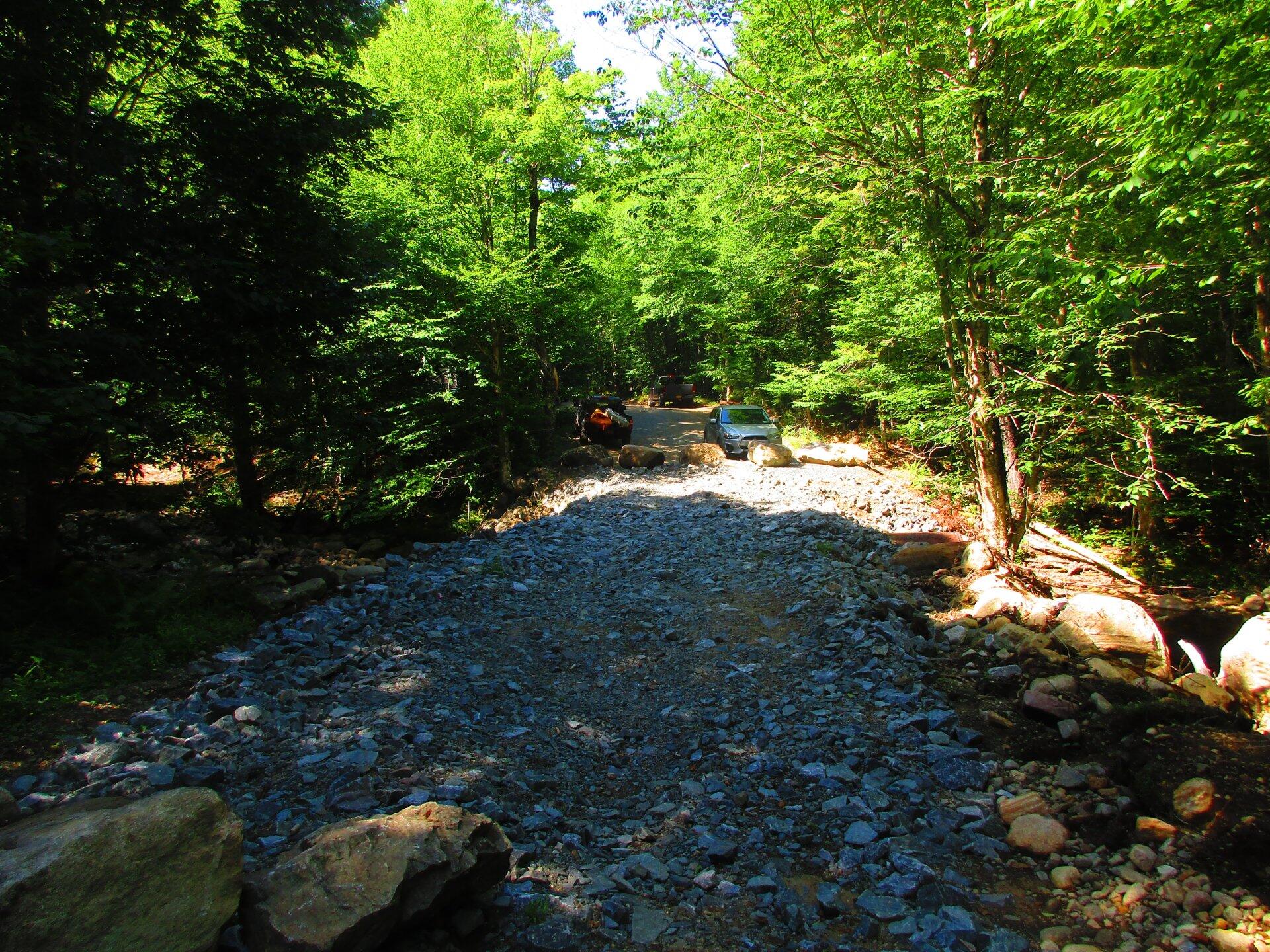
Brayhouse Brook Crossing Just Needs Top Gravel 🖼️
Download a High Resolution JPEG Image of the Brayhouse Brook Crossing Just Needs Top Gravel or an Adobe Acrobat Printable PDF of the Brayhouse Brook Crossing Just Needs Top Gravel.
Brayhouse Brook Crossing Just Needs Top Gravel ...
Arietta has replaced the culvert and put the heavy rock over the bridge.
Taken on Saturday July 18, 2020 at Piseco-Powley Road.

More about Piseco-Powley Road...
The 17-mile Piseco-Powley Road is a remote dirt route cutting through the Adirondack's Ferris Lake Wild Forest. It features 22 primitive roadside campsites, including four spots at Powley Place where the road crosses the West Branch of the East Canada Creek.
Download the PDF Map Pack with All Maps from Piseco-Powley Road.


")


