Gravel Pit 🖼️
Download a JPEG Image of the Gravel Pit.
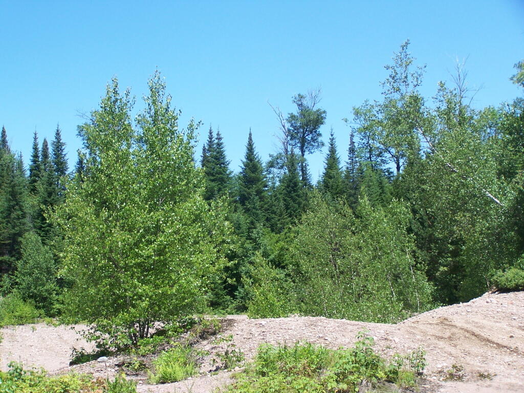
Gravel Pit ...
Chewed up by ATVs a little bit, along Number One Road.
Taken on Thursday June 30, 2011 at Watsons East Triangle Wild Forest.

More about Watsons East Triangle Wild Forest...
The Watson's East Triangle Wild Forest Unit is located on the western edge of the Adirondack Forest Preserve in the towns of Croghan, Diana, and Watson in Lewis County and the town of Webb in Herkimer County. The Unit consists of 13,229 acres of State Forest Preserve lands, and is bounded on the west by the Adirondack Park Blue Line, on the east by the Five Ponds and Pepperbox Wilderness Areas, on the north by the Aldrich Pond Wild Forest and on the south by the Beaver River.
Download the PDF Map Pack with All Maps from Watsons East Triangle Wild Forest.

")


