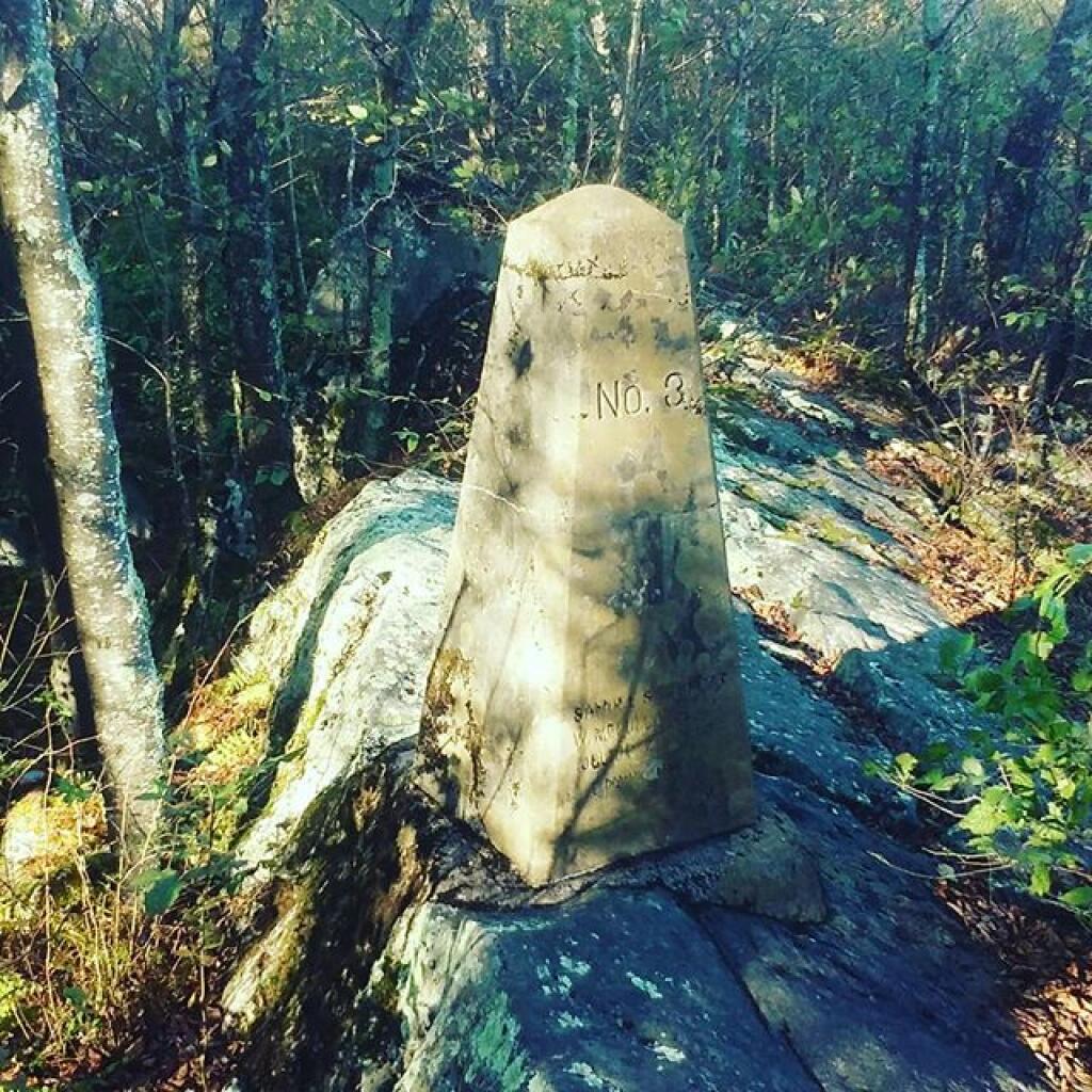
One foot in Maryland, the other in West Virginia 🖼️
Download a JPEG Image of the One foot in Maryland, the other in West Virginia.
One foot in Maryland, the other in West Virginia ...
Taken on Thursday October 10, 2019 at Hoye-Crest.

More about Hoye-Crest...
Hoye-Crest is a summit along Backbone Mountain just inside of Garrett County, Maryland. It is the highest natural point in Maryland at an elevation of 3,360 feet.


