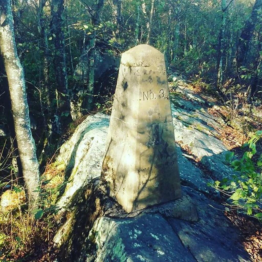
Hoye-Crest 📍

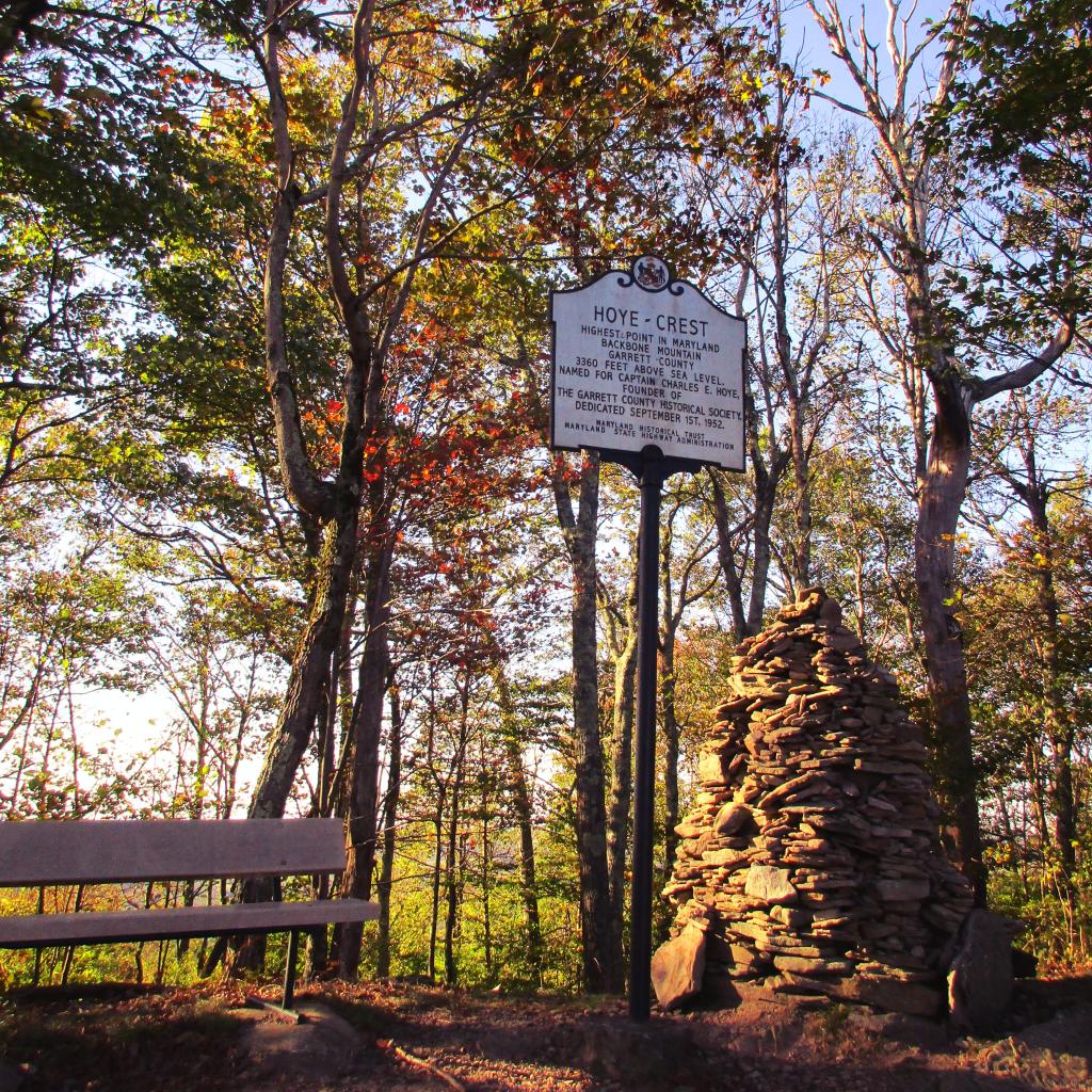
Hoye-Crest is a summit along Backbone Mountain just inside of Garrett County, Maryland. It is the highest natural point in Maryland at an elevation of 3,360 feet.

🗺️ Maps 🖼️ Photos
Map: Cole Hill State Forest

Hoye-Crest Trail

The trail to Maryland's highest point on Backbone Mountain can be accessed from US 219 in Silver Lake, West Virigina. Only the summit is in Maryland.
Map: Wolf Creek Road
Map: Debar Pond
Map: Kelly Hollow Trail
Map: Severence Hill Trail