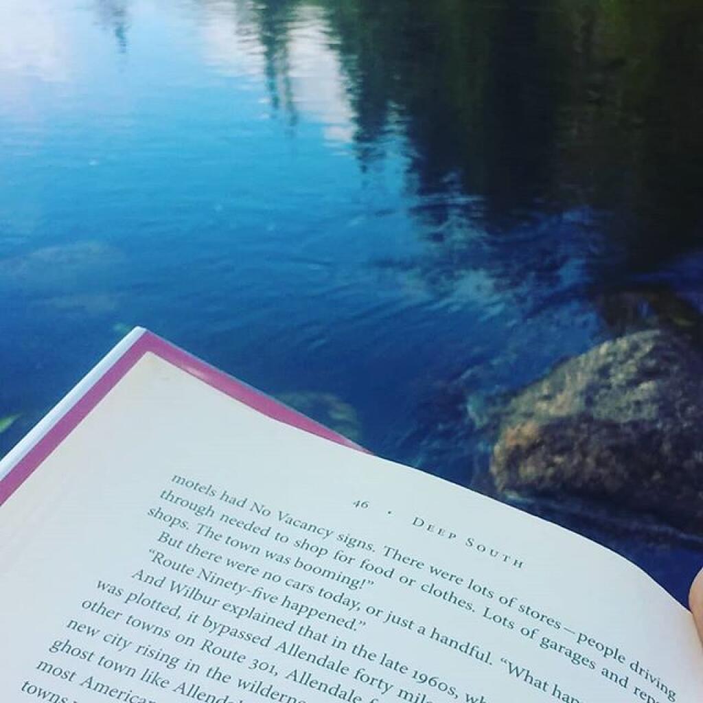
Swimming hole with a good book 🖼️
Download a JPEG Image of the Swimming hole with a good book.
Swimming hole with a good book ...
Taken on Tuesday August 20, 2019 at Piseco-Powley Road.

More about Piseco-Powley Road...
The 17-mile Piseco-Powley Road is a remote dirt route cutting through the Adirondack's Ferris Lake Wild Forest. It features 22 primitive roadside campsites, including four spots at Powley Place where the road crosses the West Branch of the East Canada Creek.
Download the PDF Map Pack with All Maps from Piseco-Powley Road.


")


No Comments
Deep South is a great book. Based on it, I went back and read just about everything Charles Portis wrote.