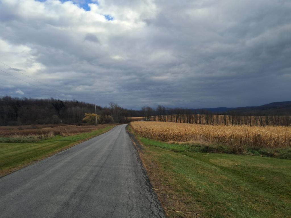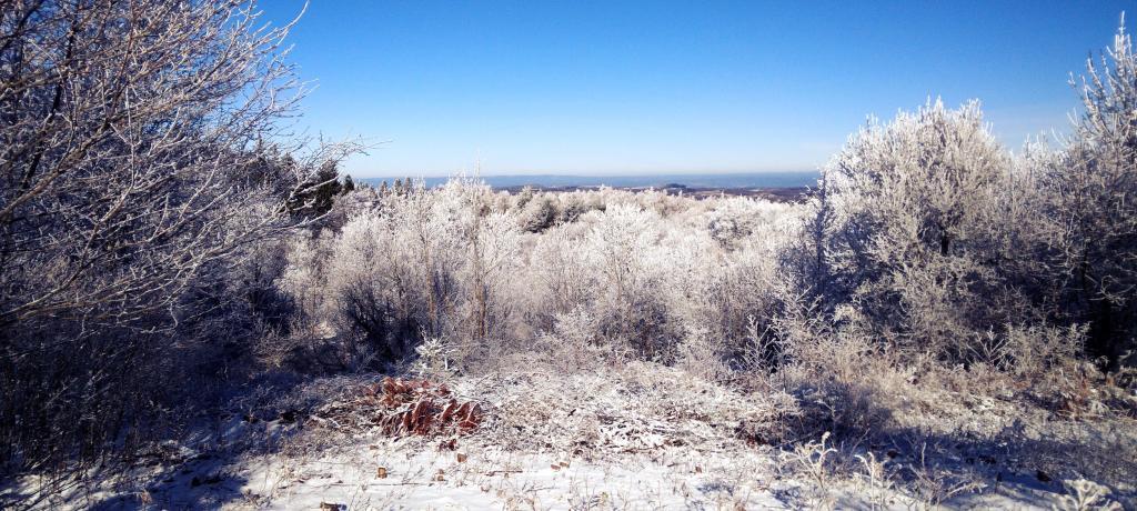
Looking Off Tassell Hill
Brilliant blue skies made for some nice views off Tassell Hill on Martin Luther King Day.
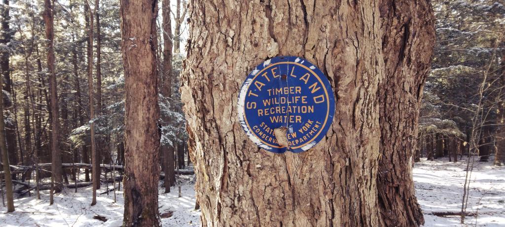
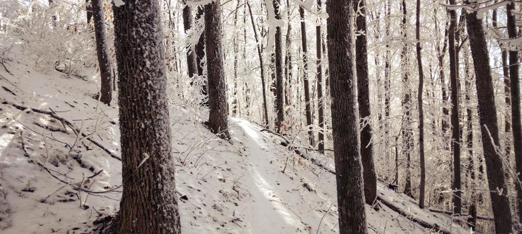
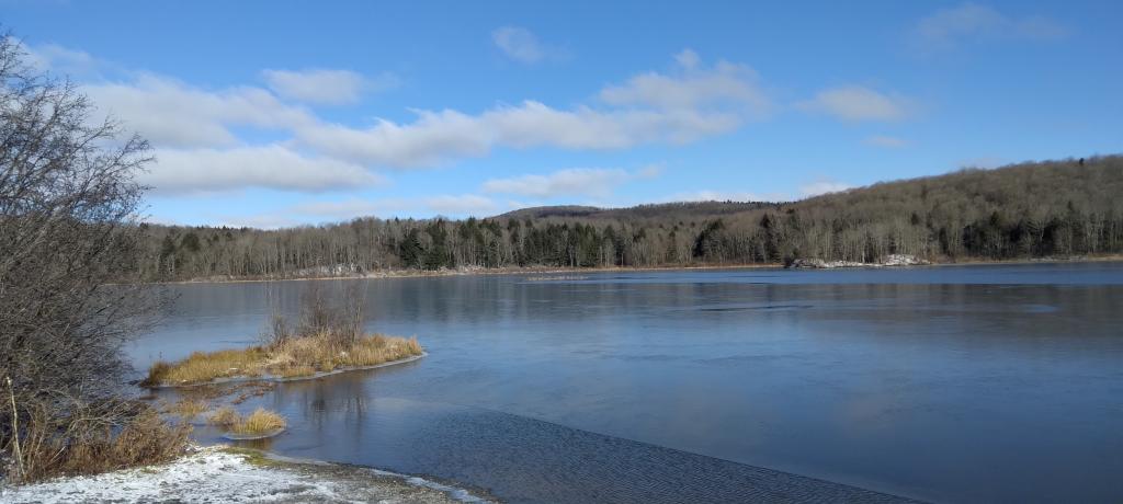
Monday January 16, 2023 — Alfred J Woodford State Forest — Albert J. Woodford Memorial State Forest 🗺 — Chittening Pond Fishing Area 🗺— PDF with All Maps 📚