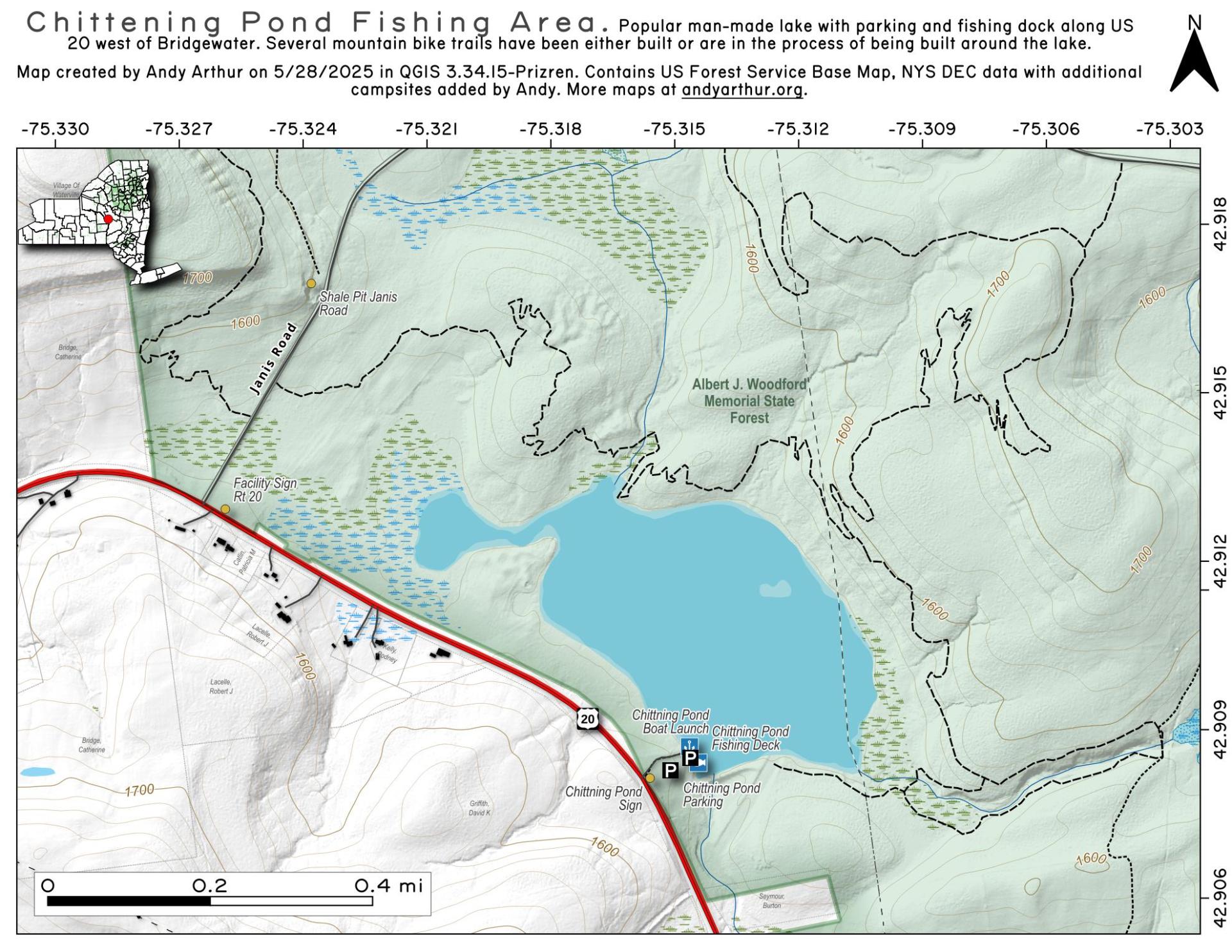
Chittening Pond Fishing Area

Download a High Resolution JPEG Image of the Chittening Pond Fishing Area or an Adobe Acrobat Printable PDF of the Chittening Pond Fishing Area.

Bookmark my free Interactive GPS Map for your phone:
https://andyarthur.org/ny
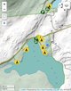
... shows your location as a blue dot in relationship to campsites, trails, state land. This online map requires cell service, won't work in remote country, so also bring a paper map.
Free Download of New & Historical USGS 1:24k Topograpic Maps
Interactive maps with backcountry and roadside camping: New York, Pennsylvania, West Virginia & Vermont. List of NYS DEC Lean-Tos and Firetowers.
Google Spreadsheet with Roadside, Primitive and Pay Campsites
More about Alfred J Woodford State Forest...
The Albert J. Woodford Memorial Forest contains 2,664 acres, and as with most state forests, the majority of this land was pasture and cropland at one time. Tassel Hill, located in the northern portion of the property, is the point of highest elevation in Oneida County. The Chittning Pond Fishing Access Site is a popular area for fishermen of all levels. Warm water species such as bass and sunfish are known to inhabit this pond. There is a gravel hand launch located in the southwest corner of Chittning Pond.
http://www.dec.ny.gov/lands/83241.html
Download the PDF Map Pack with All Maps from Alfred J Woodford State Forest.


