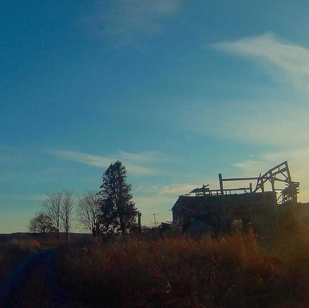
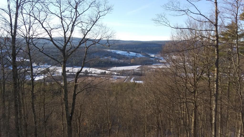
Setting 🖼️

Download a JPEG Image of the Setting.
Setting ...
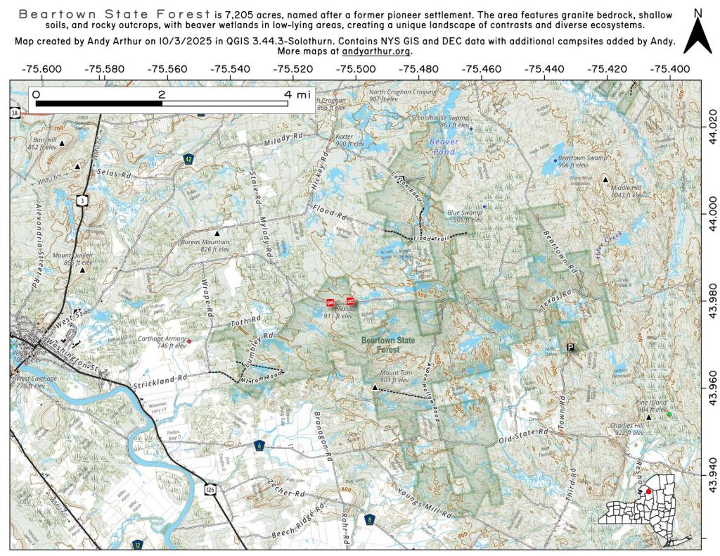
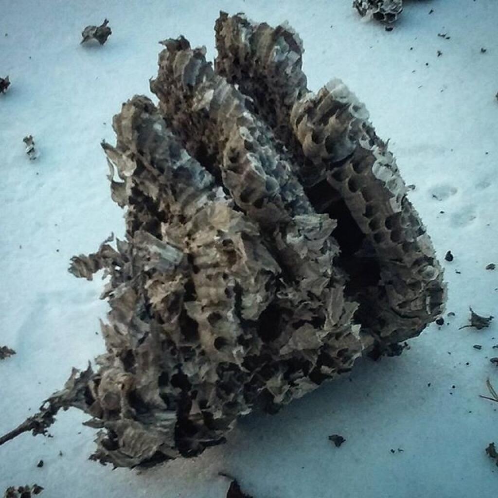
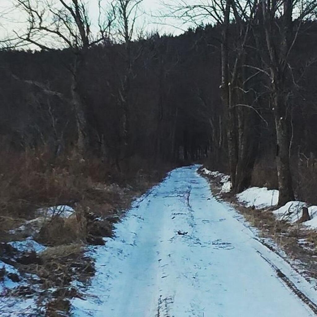
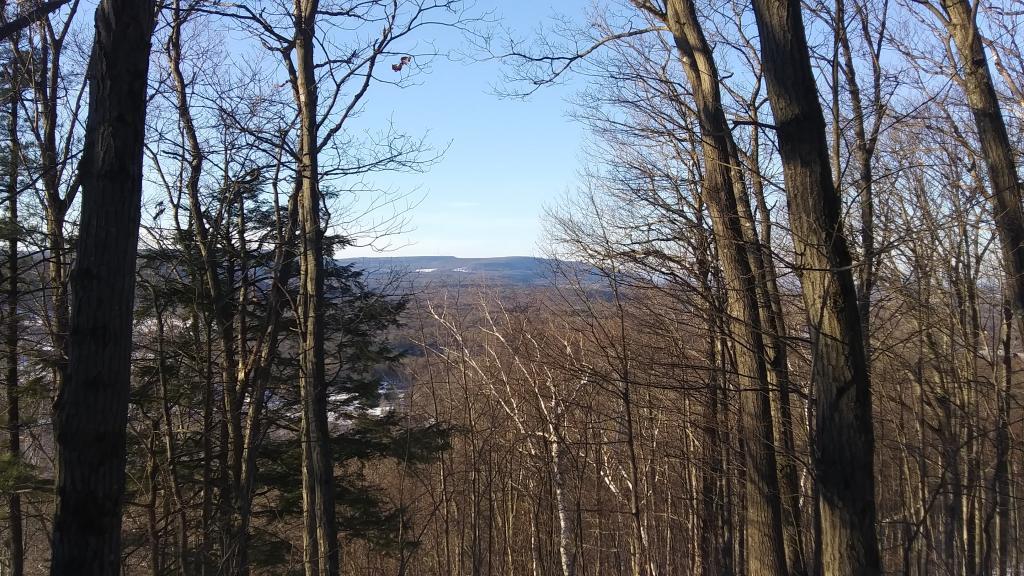
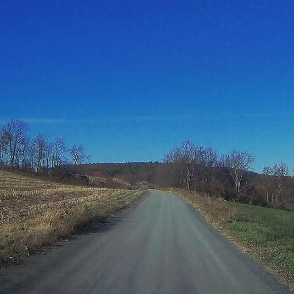
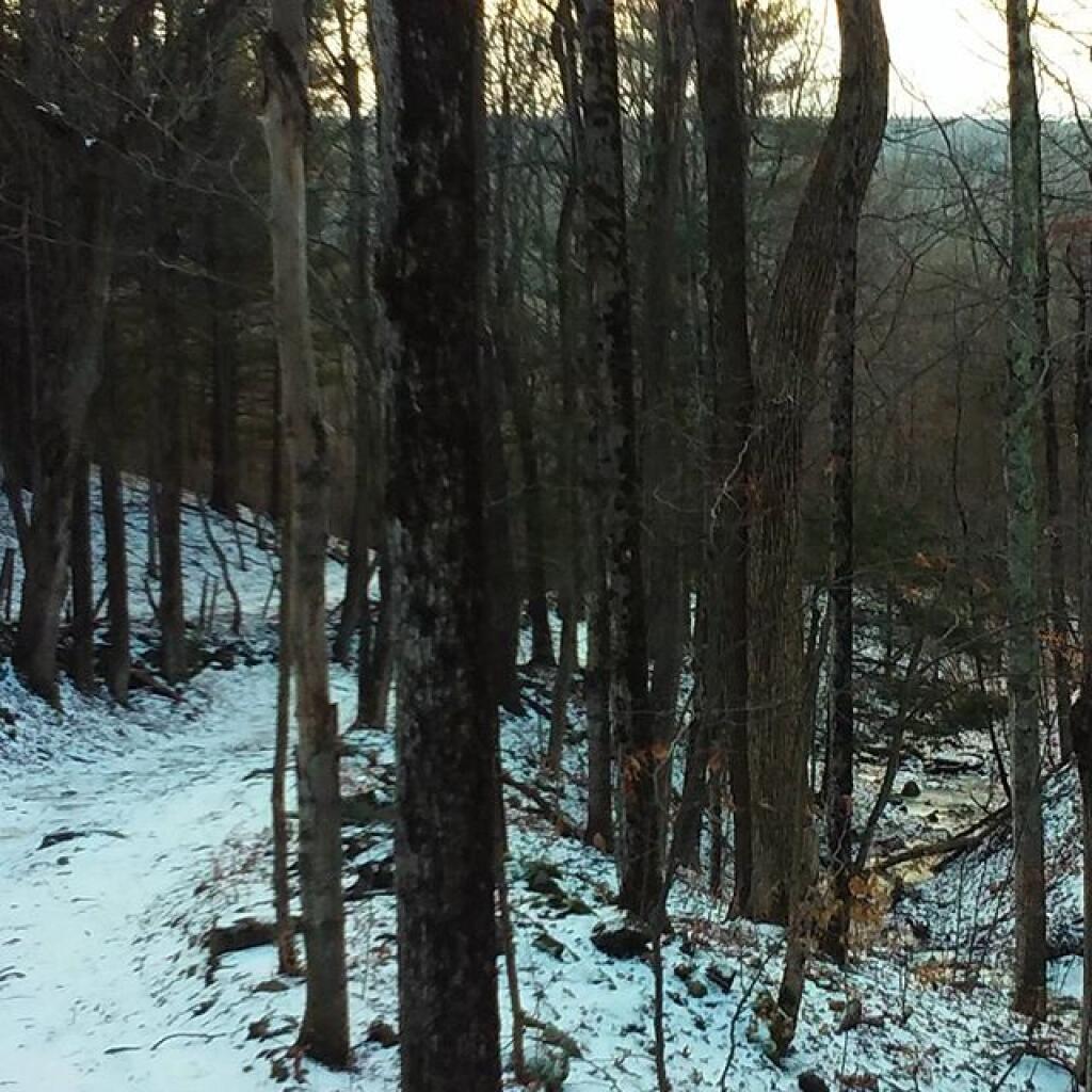
Taken on Sunday November 12, 2017 at Beartown State Forest.
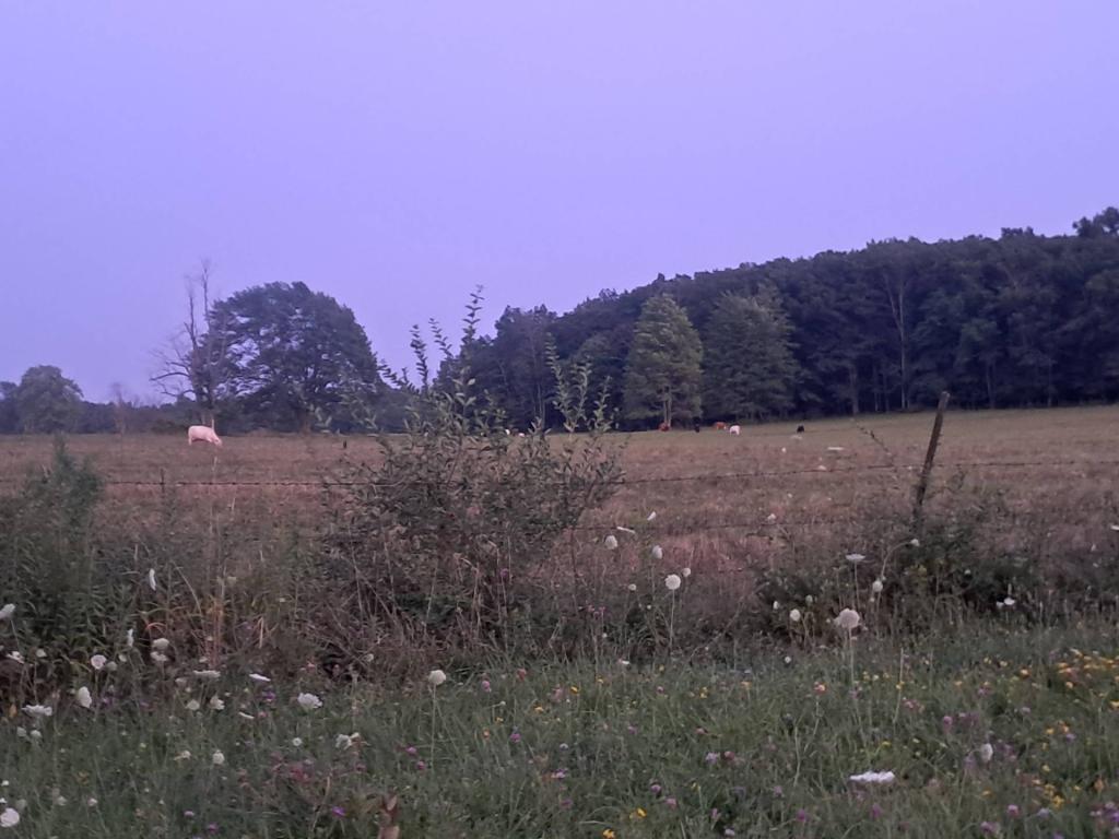
More about Beartown State Forest...
The 7211 acre Beartown State Forest is named for its proximity to a former small pioneer settlement by that name. The main access road leading from the north into this forest also "bears" the same designation. Granite bedrock forms the base for the mostly shallow, poor soils found here. Rock outcrops are common, with beaver inundated wetlands occupying the low areas.
http://www.dec.ny.gov/lands/8062.html
Download the PDF Map Pack with All Maps from Beartown State Forest.