North East 🖼️
Download a JPEG Image of the North East.
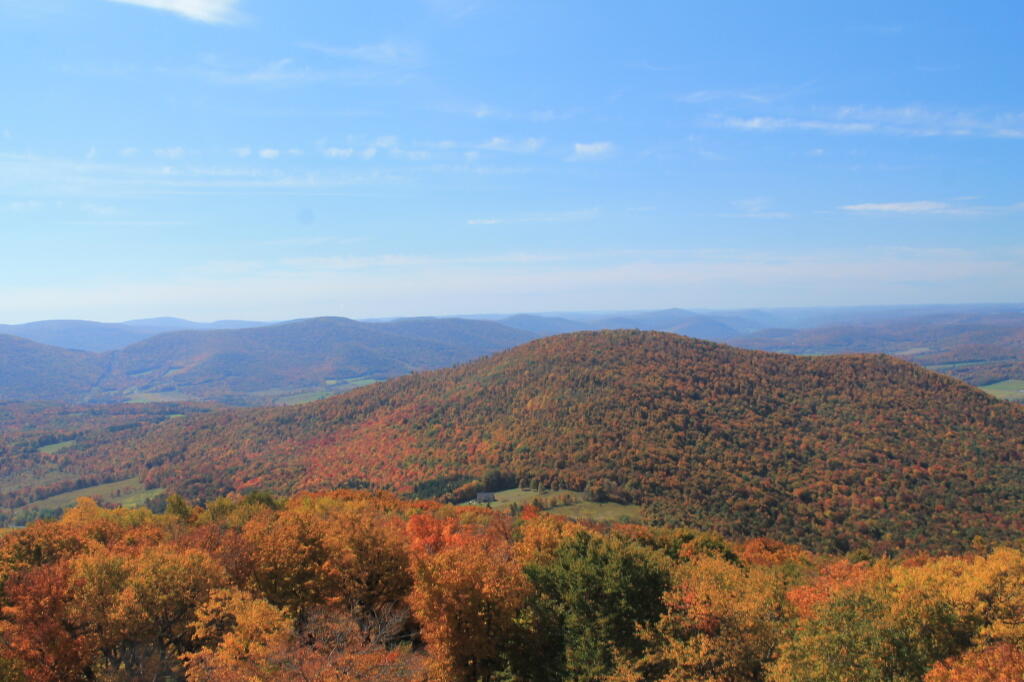
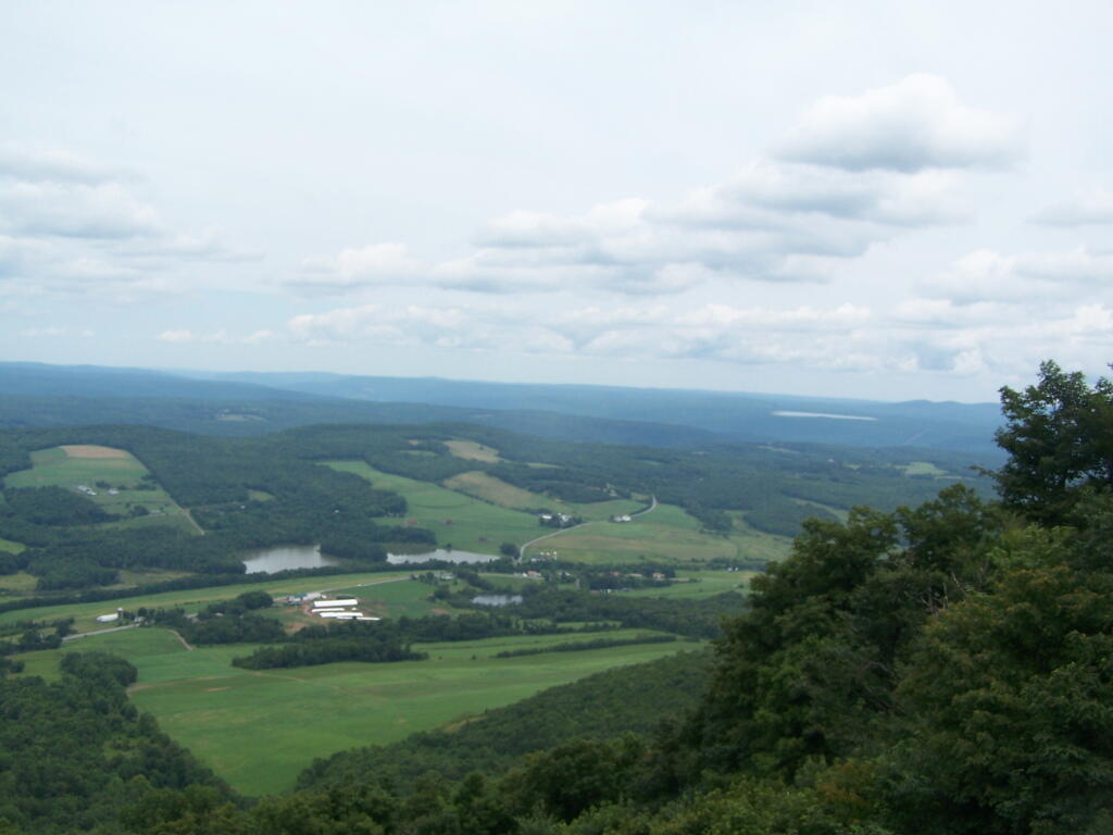
North East ...
Taken on Wednesday July 27, 2011 at Utsayantha Mountain.
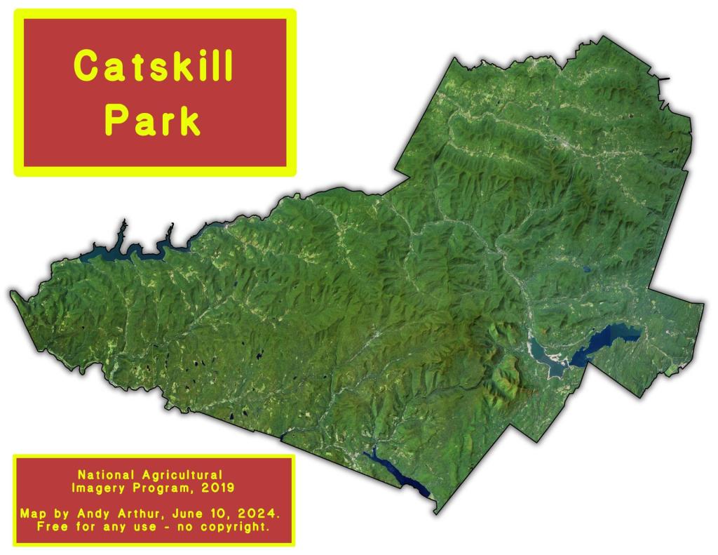
More about Utsayantha Mountain...
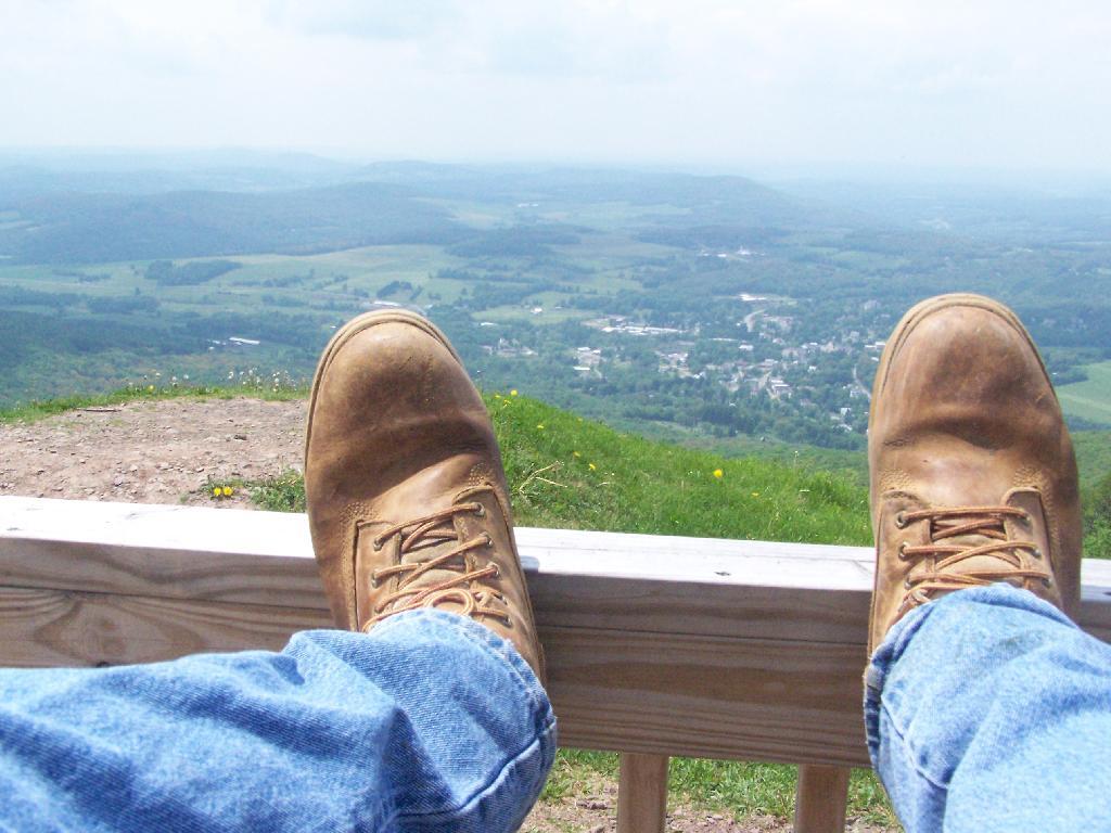
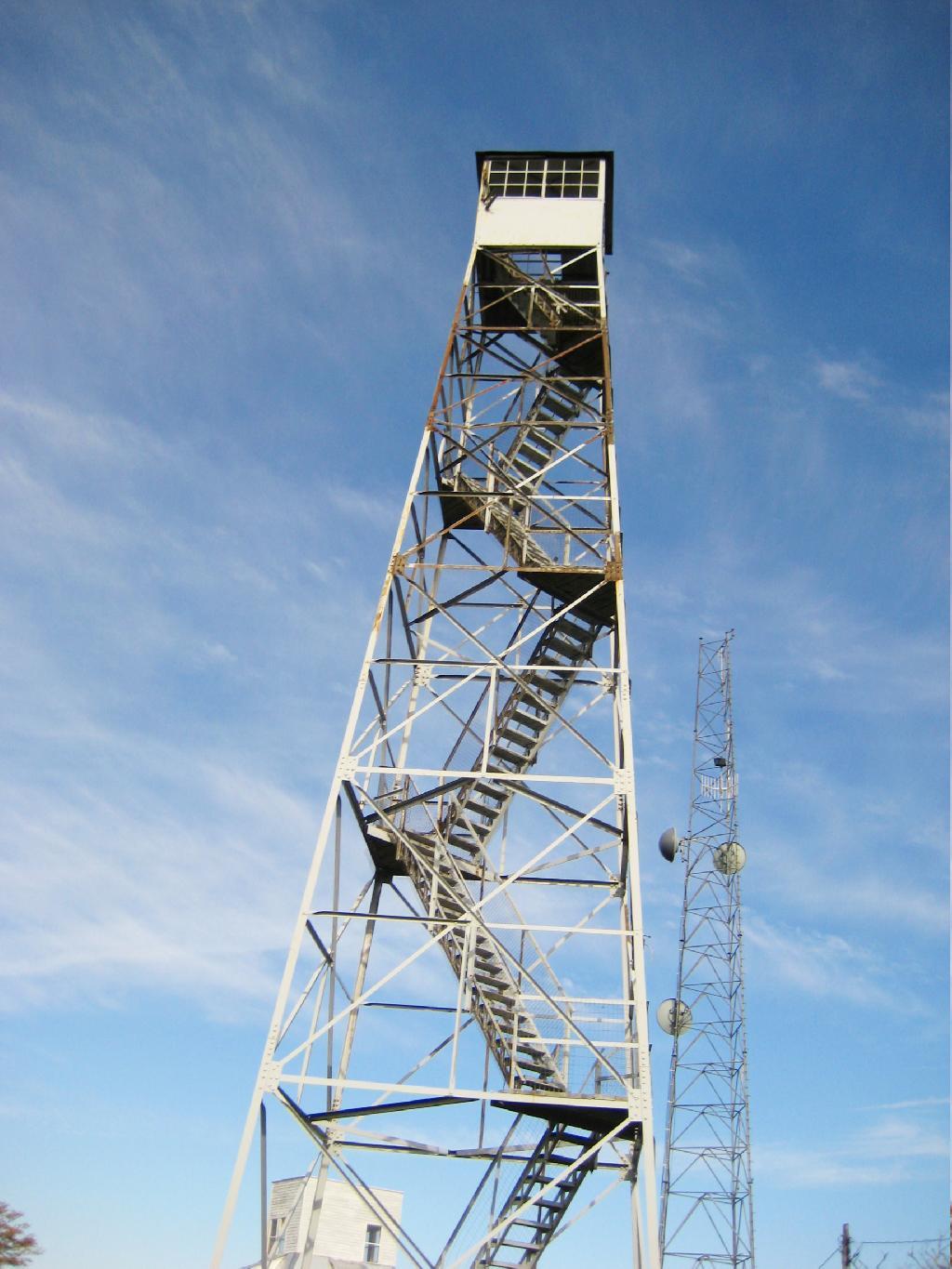
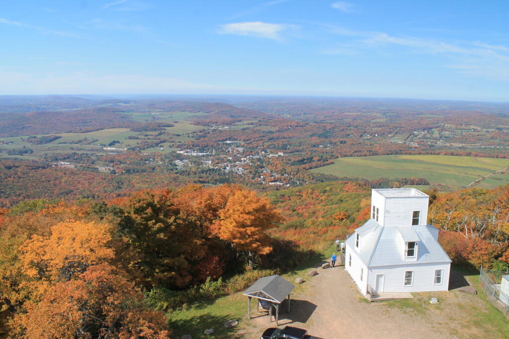
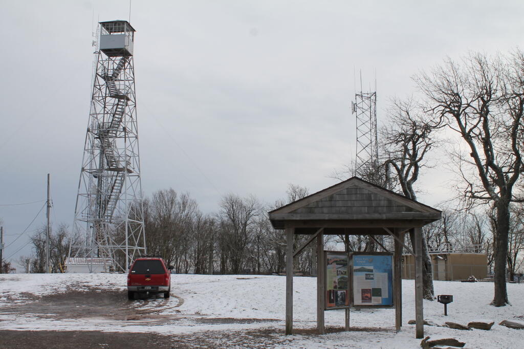
Mount Utsayantha is a village park, high above Stamford, NY.
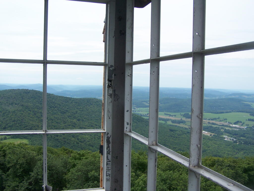
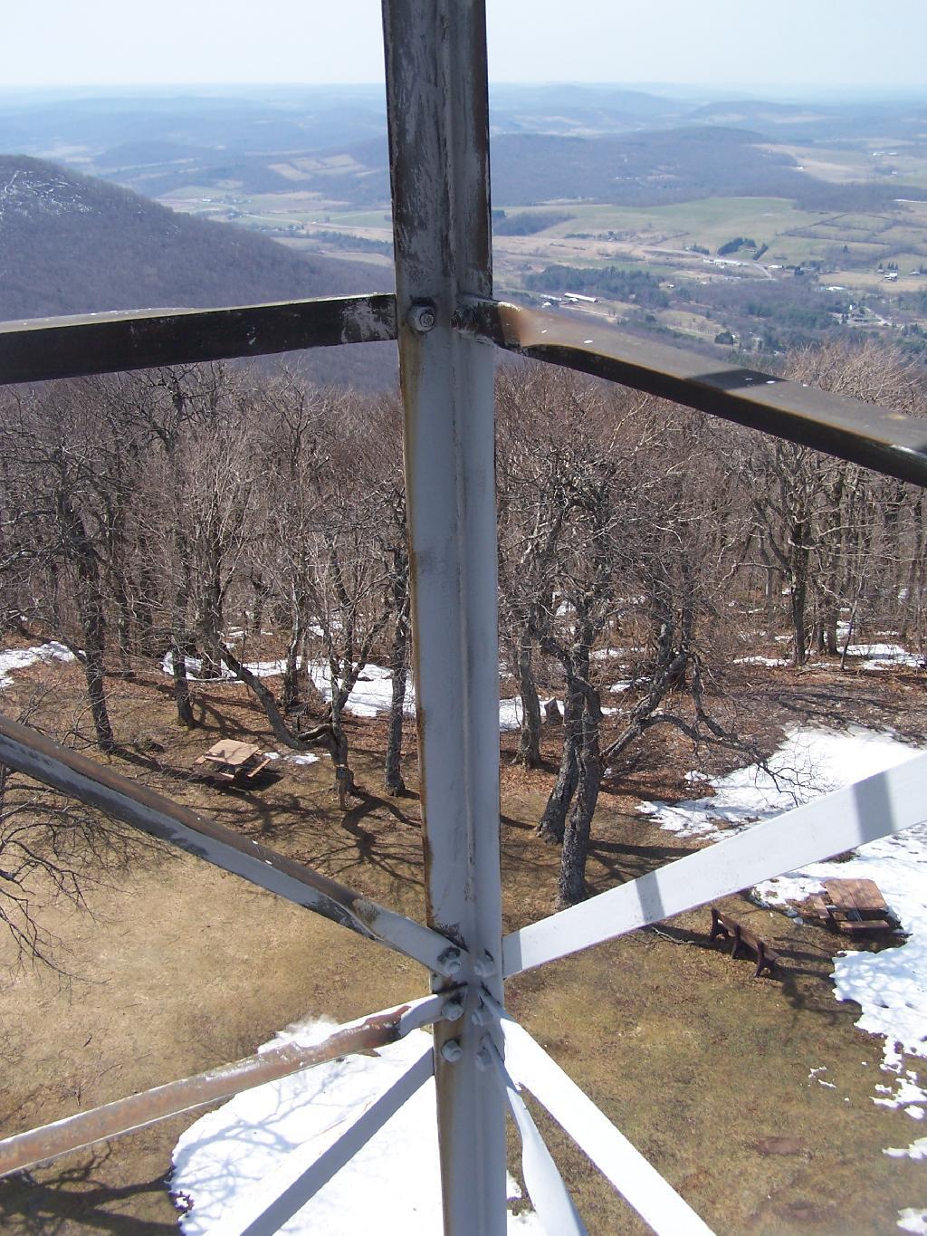
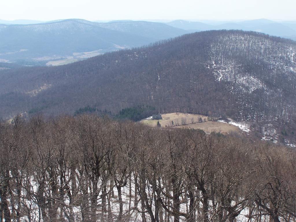
At 3,200 feet, it's the tallest peak in the North-Western Catskills, with views of Stamford, the Burnt-Rossman State Forest and lands around Summit, views west toward Oneonta, views south of the Western Catskills and other lands.
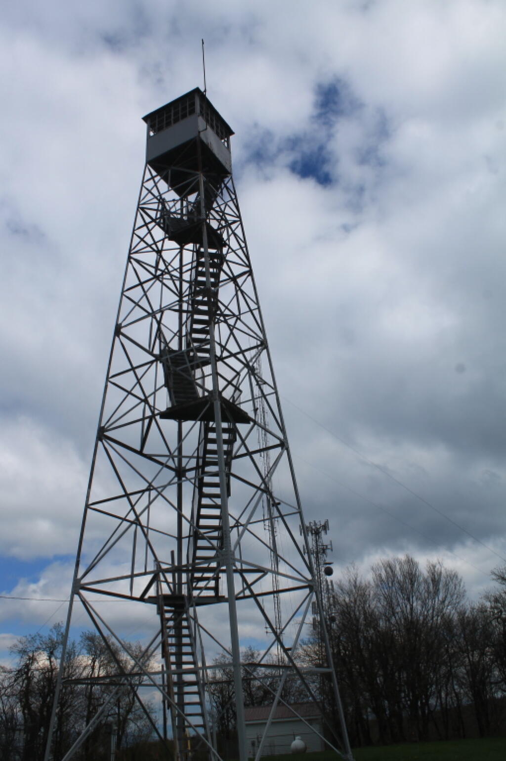
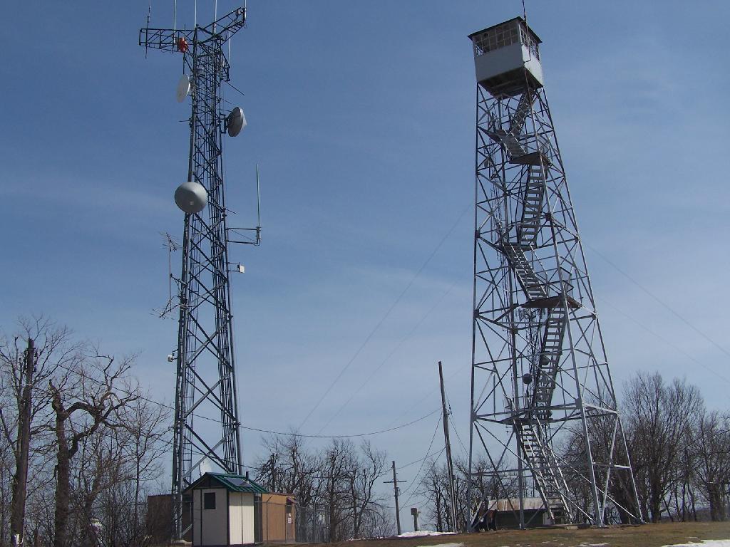
The views are somewhat broken in various directions by the many radio towers on the mountain.
It is accessible either by driving or hiking up a steep one-lane truck trail. The road is minimally maintained in the winter (plowed only for maintenance of radio towers), and may not be accessible except by hiking.
http://www.cnyhiking.com/MountUtsayantha.htm
http://www.catskillhiker.net/CHH/peaks/utsayantha.shtml