Completed Housing Development 🖼️
Download a High Resolution JPEG Image of the Completed Housing Development or an Adobe Acrobat Printable PDF of the Completed Housing Development.
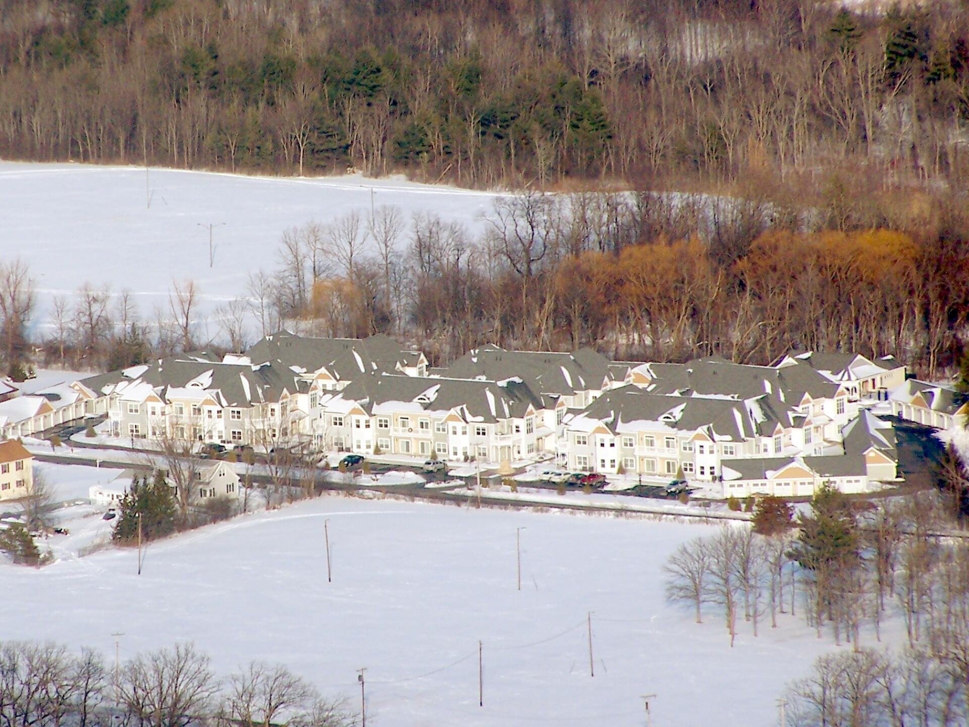
Completed Housing Development ...
I took this same picture two years ago from High Point, looking down at these condos under construction. Completed, they look even more tacky -- if you want to live in a community with neighbors, don't live way out in the sticks, surrounded by farm land and the Altamont Fairgrounds.
Taken on Sunday January 16, 2011 at John Boyd Thacher State Park.
More about John Boyd Thacher State Park...
John Boyd Thacher State Park, is situated along the Helderberg Escarpment, one of the richest fossil-bearing formations in the world. Even as it safeguards six miles of limestone cliff-face, rock-strewn slopes, woodland and open fields, the park provides a marvelous panorama of the Hudson-Mohawk Valleys and the Adirondack and Green Mountains. The park has volleyball courts, playgrounds, ball fields and numerous picnic areas with nine reservable shelters. Interpretive programs are offered year-round, including guided tours of the famous Indian Ladder Trail. There are over 25 additional miles of trails for summer hiking and mountain biking, and winter cross-country skiing, snowshoeing, hiking, and snowmobiling.
http://nysparks.com/parks/128/
 at John Boyd Thacher Park")


