Tower Hill Road 🖼️
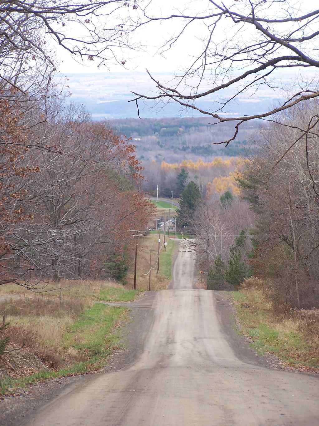
Download a JPEG Image of the Tower Hill Road.
Tower Hill Road ...
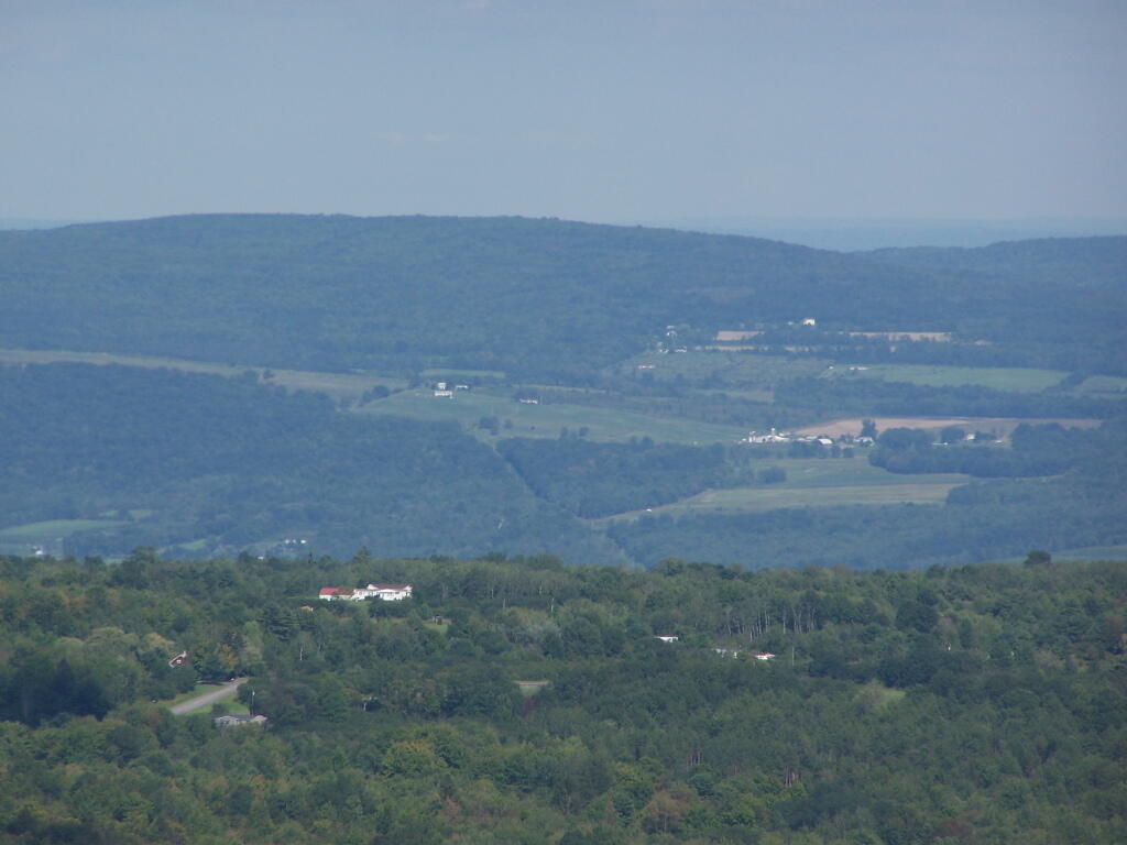
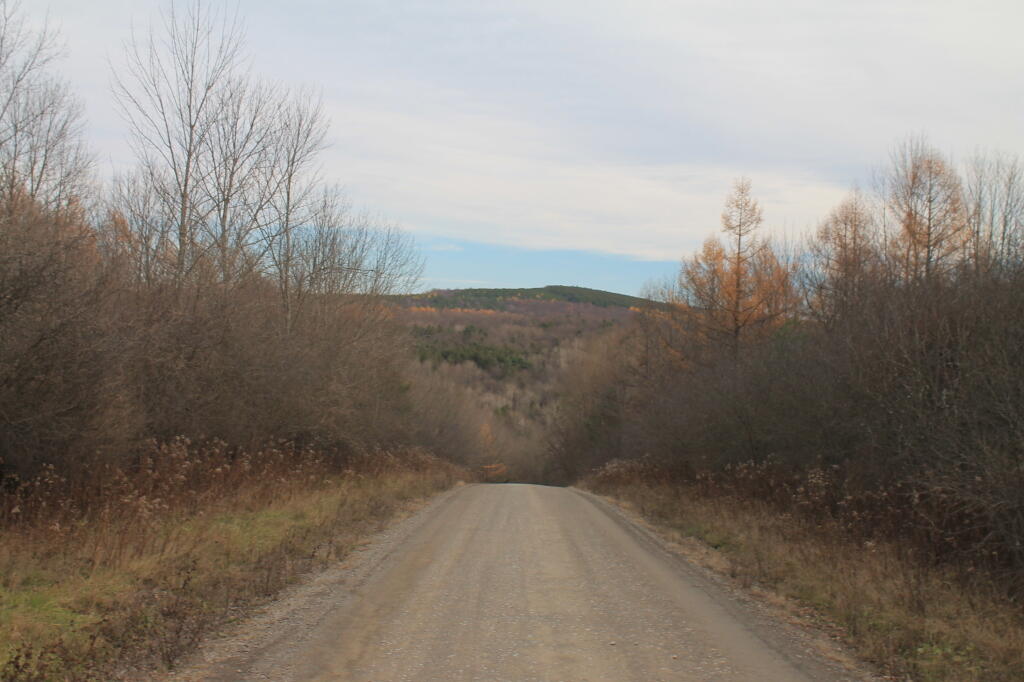
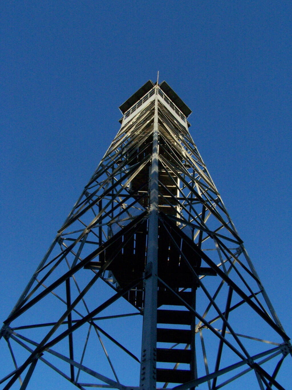
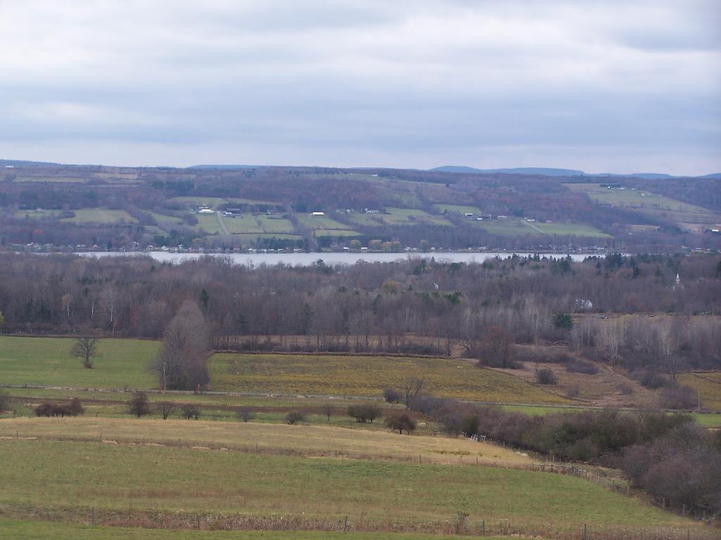
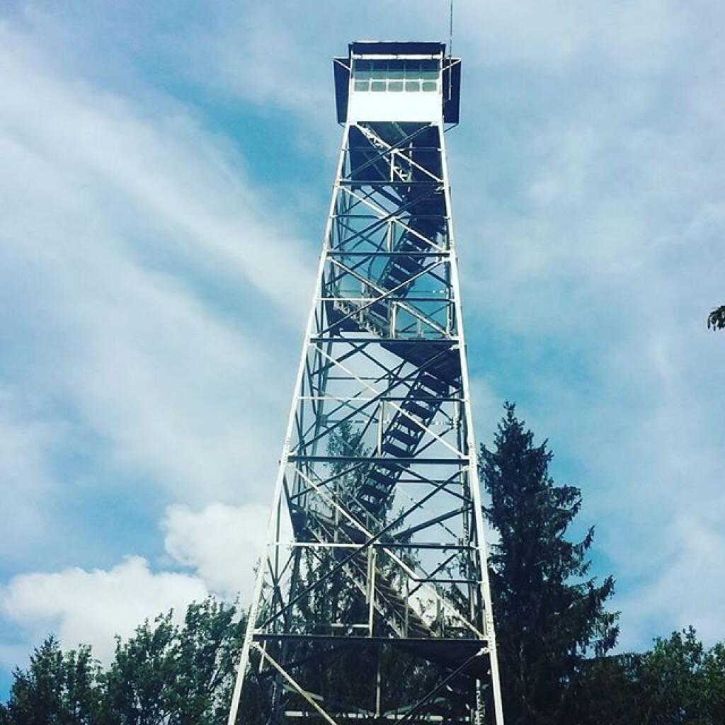
A horizontal shot looking down towards Seneca Lake. I had hoped to visit the Fire Tower, but the road up to it was closed, and I didn't have the time to hike up to it.
Taken on Sunday November 7, 2010 at Sugar Hill State Forest.
More about Sugar Hill State Forest...
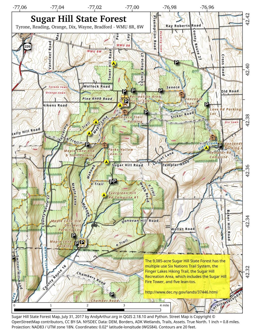
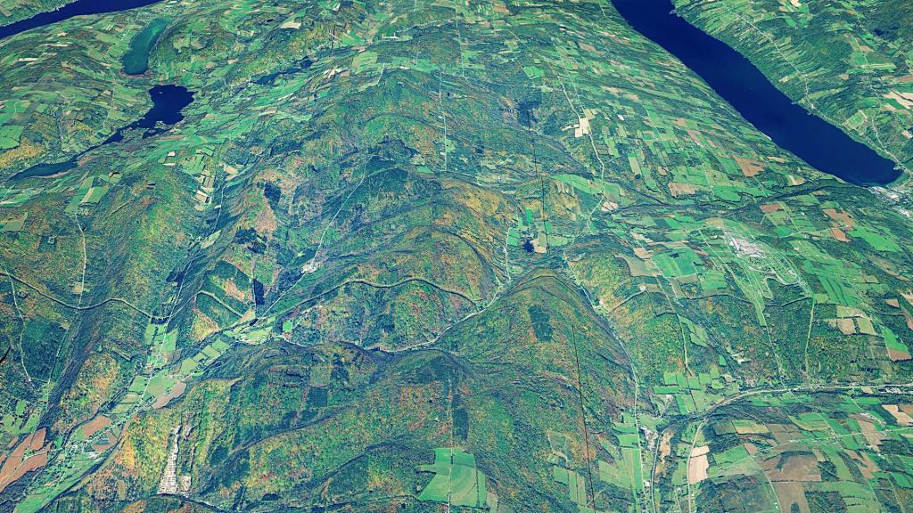
Sugar Hill State Forest is located about 7 miles west of Watkins Glen, near the hamlets of Tyrone and Bradford, in the Allegheny Plateau. It covers approximately 9,085 acres in the towns of Orange, Tyrone, and Reading in Schuyler County.
Among its many attractions is the Six Nations Trail System, approximately 35 miles long. A portion of the trail system is located on Goundry Hill State Forest. It is open for horse use in the summer months, and snowmobile use when there is sufficient snow cover. Foot travel is encouraged all year round.
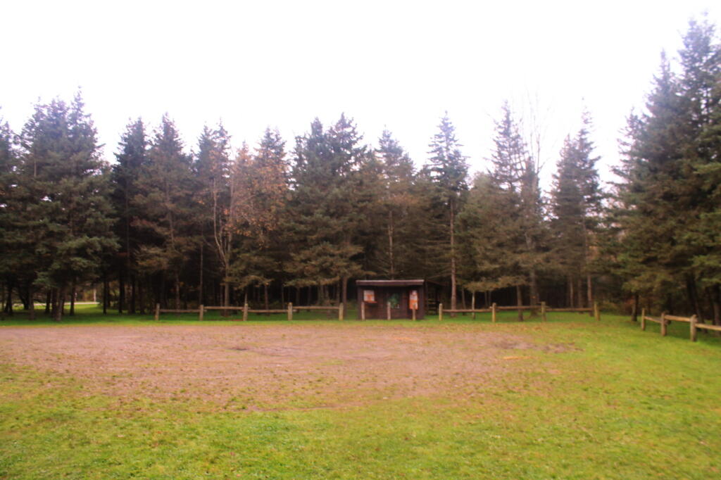
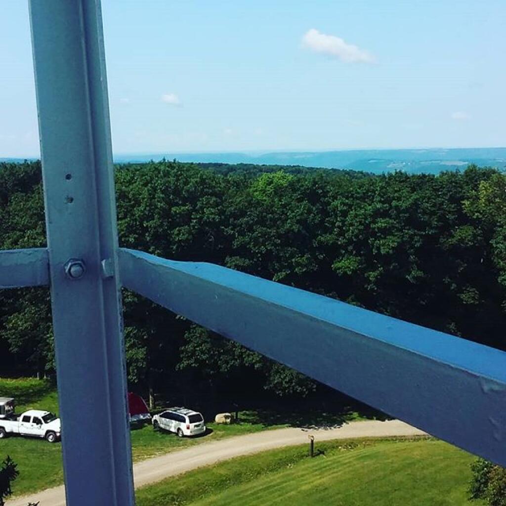
The main trail head for the system is the Sugar Hill Fire Tower and Recreation Area located near the north end of the Sugar Hill State Forest, off of Tower Hill Rd. At that location you will find parking, water, flush toilets, the fire tower, rangers cabin, picnic area and pavilion, 16 horse stalls, rec building, kiosks with sign-in sheets, an accessible horse mounting ramp, two radio towers, a couple of archery targets and field area for camping.
http://www.dec.ny.gov/lands/37446.html