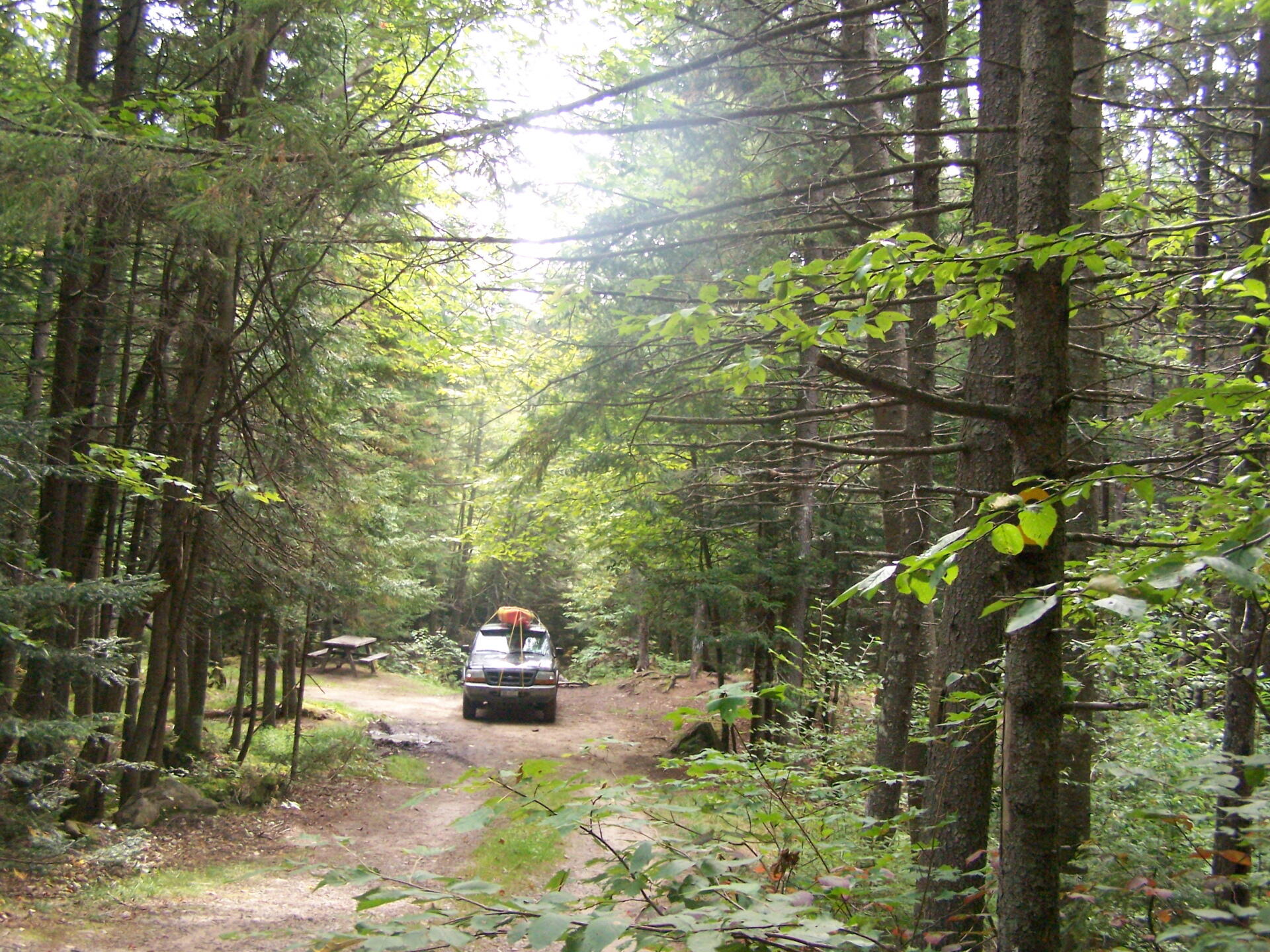
Campsite 2 🖼️
Download a High Resolution JPEG Image of the Campsite 2 or an Adobe Acrobat Printable PDF of the Campsite 2.
Campsite 2 ...
I arrived quite late to Moose River Plains on Thursday night, after not getting out of work until well after 5:30 PM. So it was a dark drive up. I did not want to camp at Cedar River Flow, so I drove up the Moose River Plains Road, but it was so dark and late, I decided to get crpa one of the first sites I saw.
Taken on Friday September 3, 2010 at Moose River Plains.
More about Moose River Plains...
Spanning Herkimer and Hamilton Counties, the Moose River Plains Wild Forest offers an array of activities, including camping, hiking, mountain biking, fishing, hunting, and canoeing. Free campsites are accessible from late May to December's end. Winter highlights snowmobiling along the Limekiln Lake-Cedar River Road linking Inlet and Indian Lake. Must-visit spots encompass Cedar River Flow, Moose-spotting at Helldiver Pond, scenic Wakely Mountain with its firetower, as well as numerous smaller ponds and lesser-known trails. This diverse landscape caters to a range of outdoor pursuits, making it a year-round destination for nature enthusiasts and adventurers.
Download the PDF Map Pack with All Maps from Moose River Plains.


 compare to Moose River Plains Camping Area?")


")


