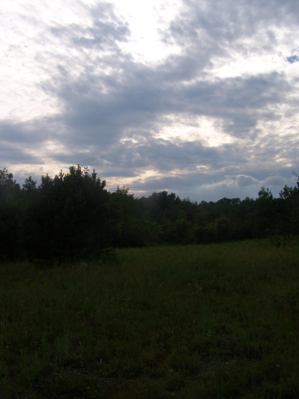
Cloudy Skies 🖼️
Download a JPEG Image of the Cloudy Skies.
Cloudy Skies ...
Taken on Sunday July 10, 2011 at John Boyd Thacher State Park.
More about John Boyd Thacher State Park...
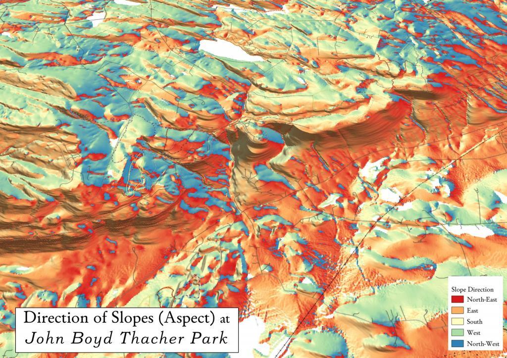
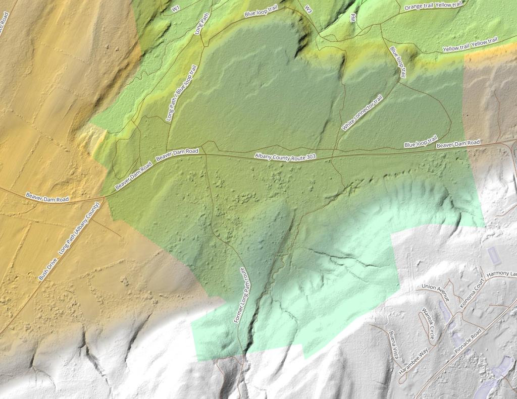
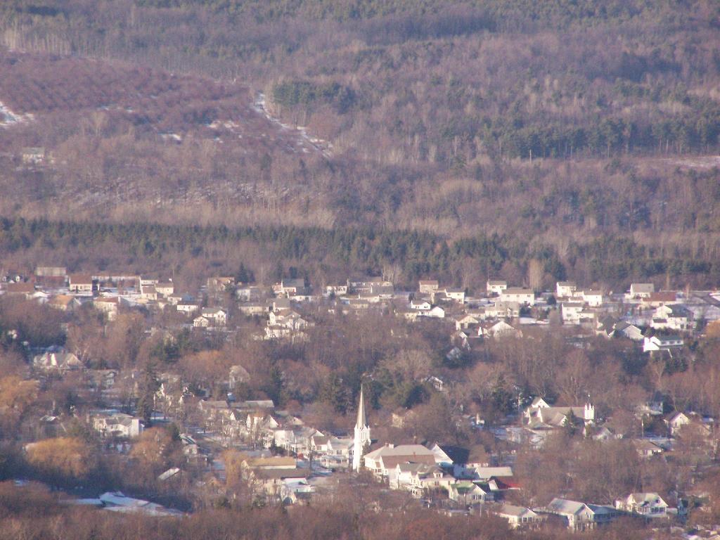
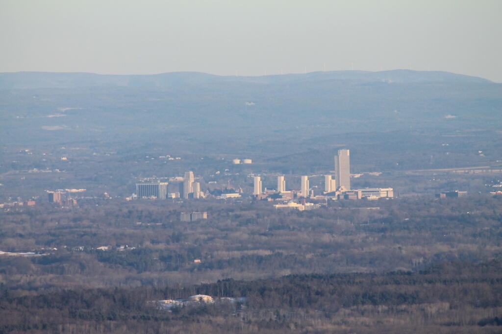
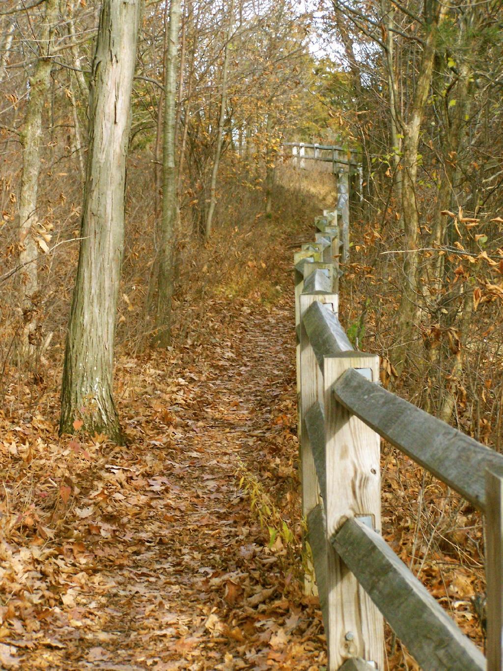
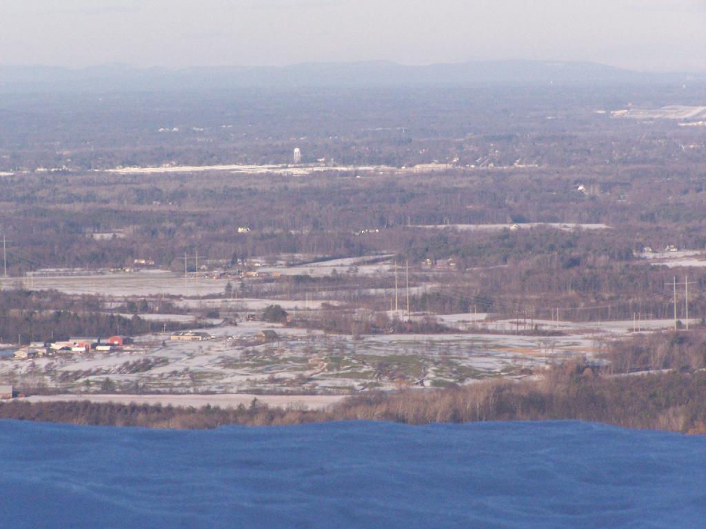
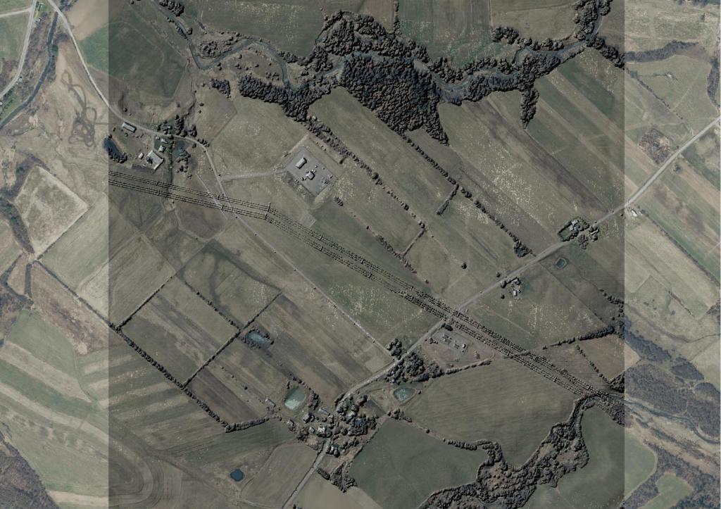
John Boyd Thacher State Park, is situated along the Helderberg Escarpment, one of the richest fossil-bearing formations in the world. Even as it safeguards six miles of limestone cliff-face, rock-strewn slopes, woodland and open fields, the park provides a marvelous panorama of the Hudson-Mohawk Valleys and the Adirondack and Green Mountains. The park has volleyball courts, playgrounds, ball fields and numerous picnic areas with nine reservable shelters. Interpretive programs are offered year-round, including guided tours of the famous Indian Ladder Trail. There are over 25 additional miles of trails for summer hiking and mountain biking, and winter cross-country skiing, snowshoeing, hiking, and snowmobiling.
http://nysparks.com/parks/128/