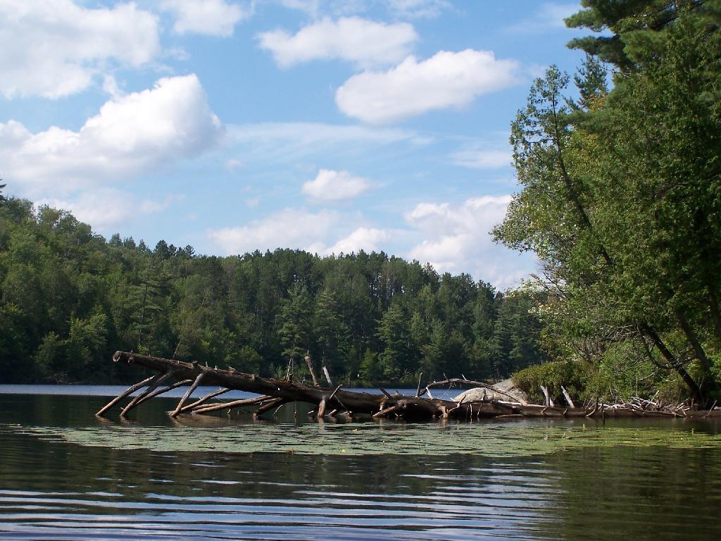
Central Part of Lake 🖼️
Download a JPEG Image of the Central Part of Lake.
Central Part of Lake ...
On the left is the western shore, by where NY 30 runs. It is a beautiful, if not humongous lake with lots of shoreline and bys.
Taken on Saturday August 14, 2010 at Mountain Pond.

More about Mountain Pond...
Mountain Pond is a small, narrow lake, located along Old Route 30, just 2 miles north of Paul Smiths. Offers 6-roadside camping spots, along with a secluded, lesser used pond, near Barnum Pond and Osgood Pond.
Download the PDF Map Pack with All Maps from Mountain Pond.


