From Southern End of Mountain Pond 🖼️
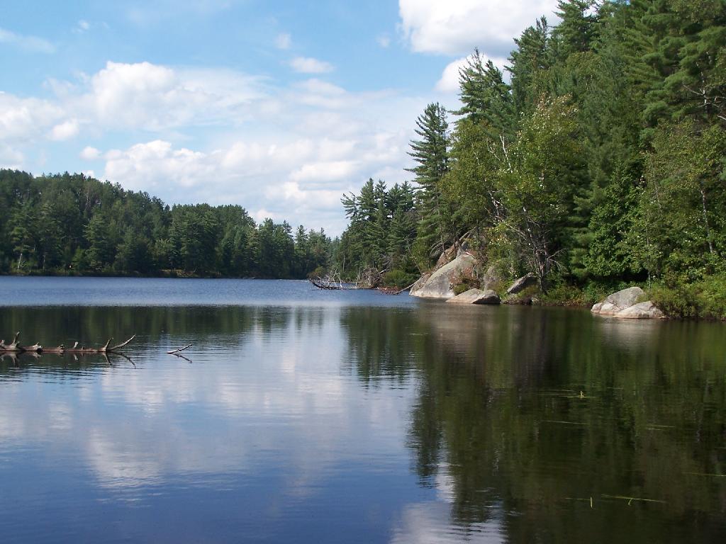
Download a JPEG Image of the From Southern End of Mountain Pond.
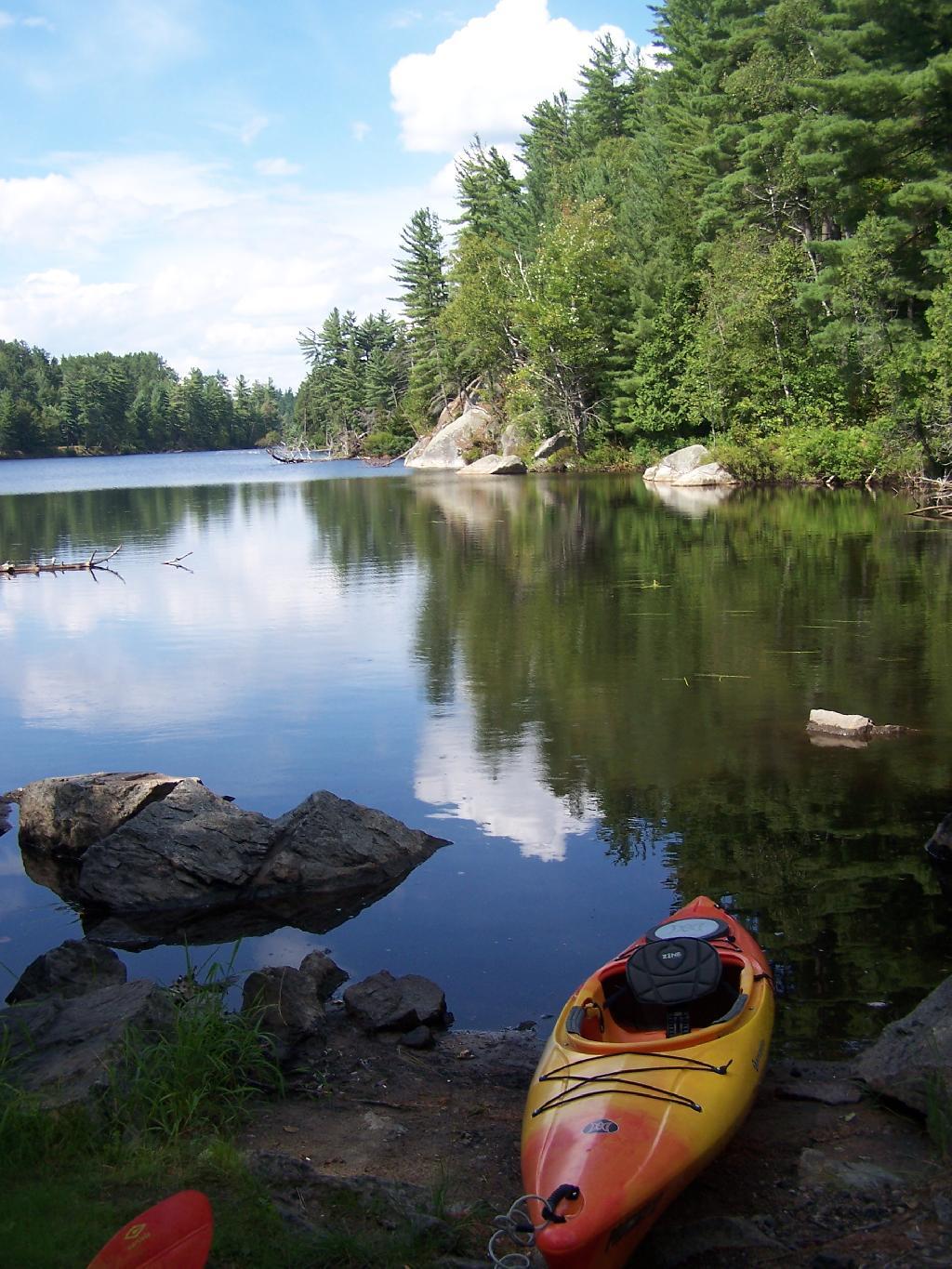
From Southern End of Mountain Pond ...
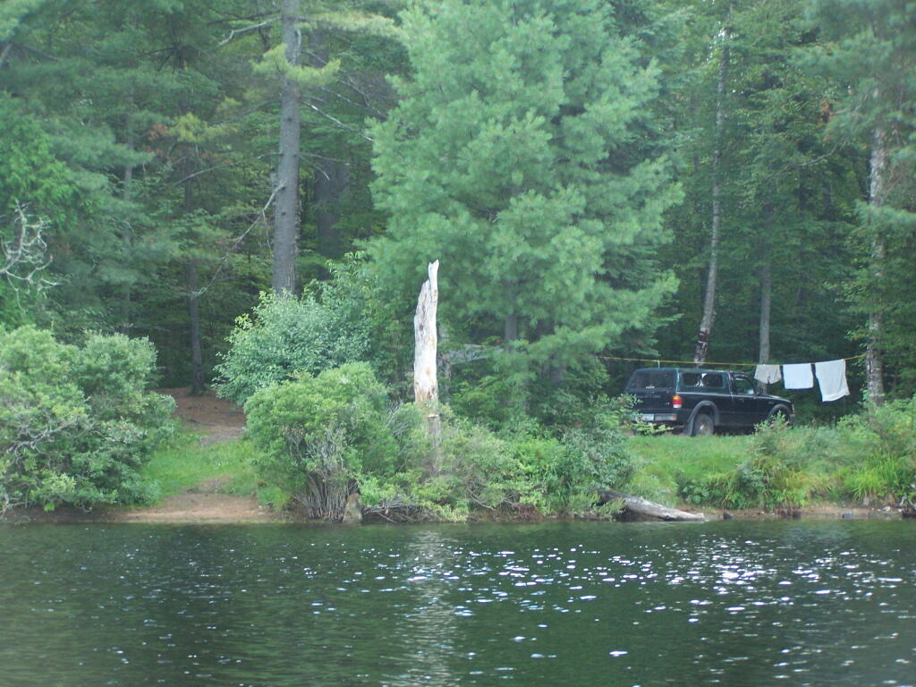
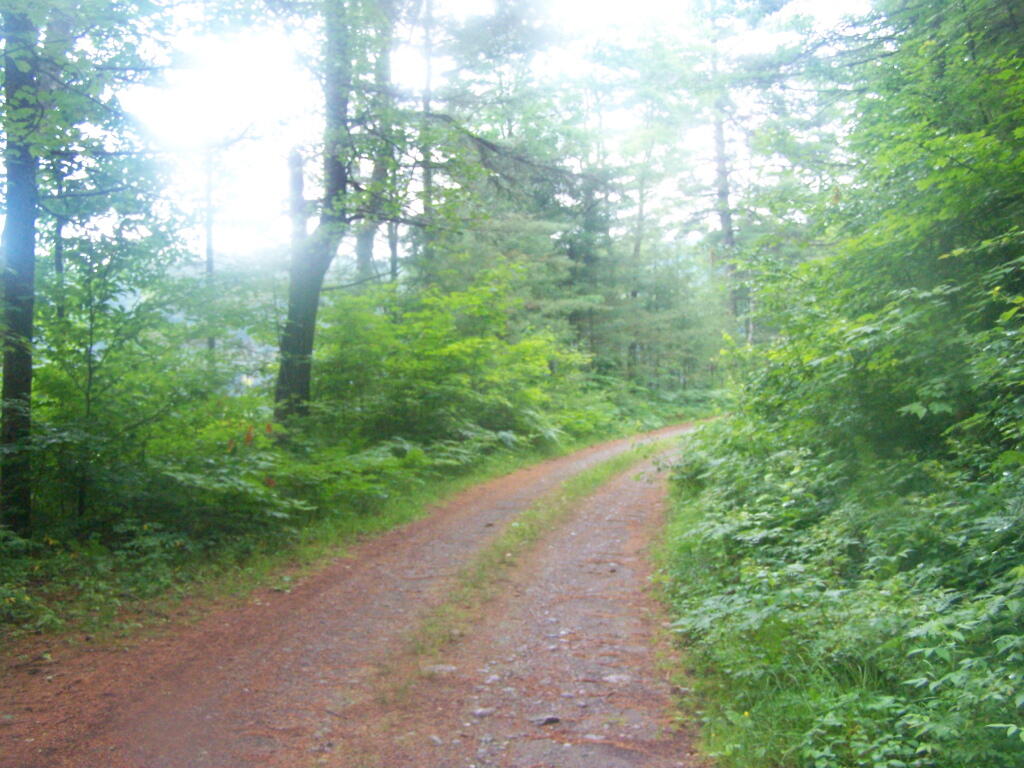
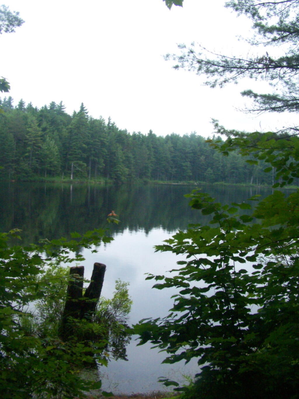
This is looking from Campsite 1 at the Southern End of Mountain Pond, looking North. Old NY 30 winds right along the shore of NY 30, the New Routing is about a 1/2 mile away for NY 30.
Taken on Saturday August 14, 2010 at Mountain Pond.
More about Mountain Pond...
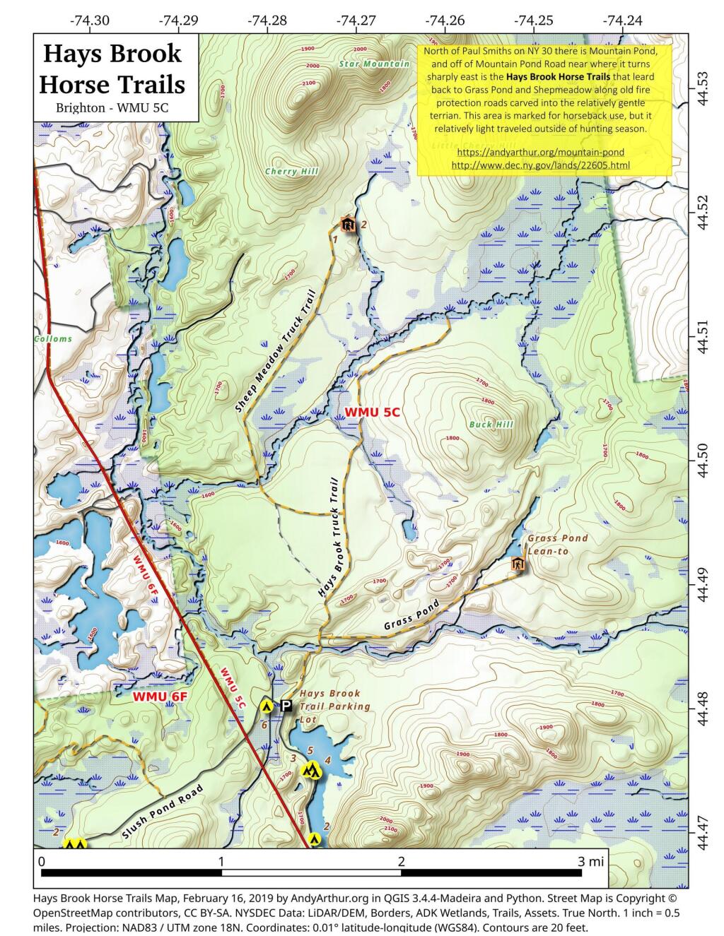
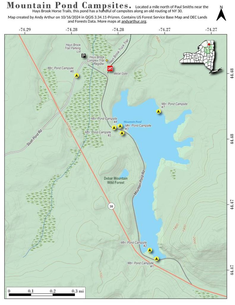
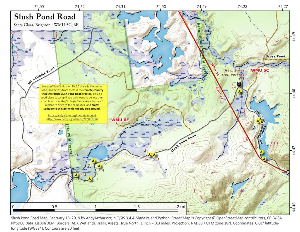
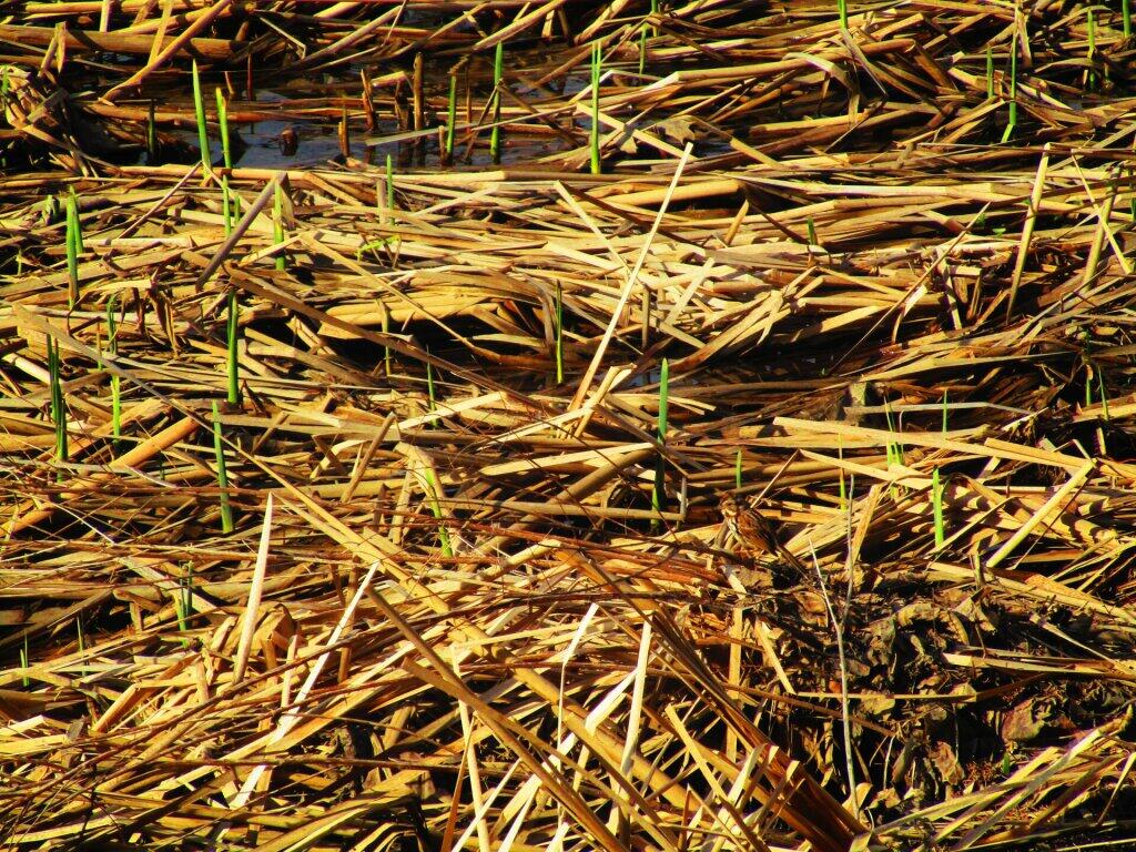
Mountain Pond is a small, narrow lake, located along Old Route 30, just 2 miles north of Paul Smiths. Offers 6-roadside camping spots, along with a secluded, lesser used pond, near Barnum Pond and Osgood Pond.
Download the PDF Map Pack with All Maps from Mountain Pond.