So green here 🖼️
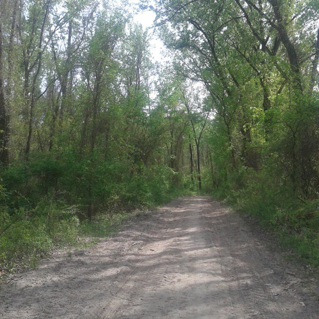
Download a JPEG Image of the So green here.
So green here ...
Taken on Saturday May 9, 2015 at Schodack Island State Park.
More about Schodack Island State Park...
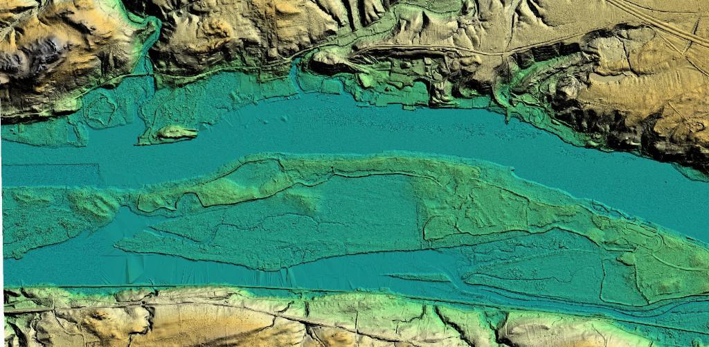
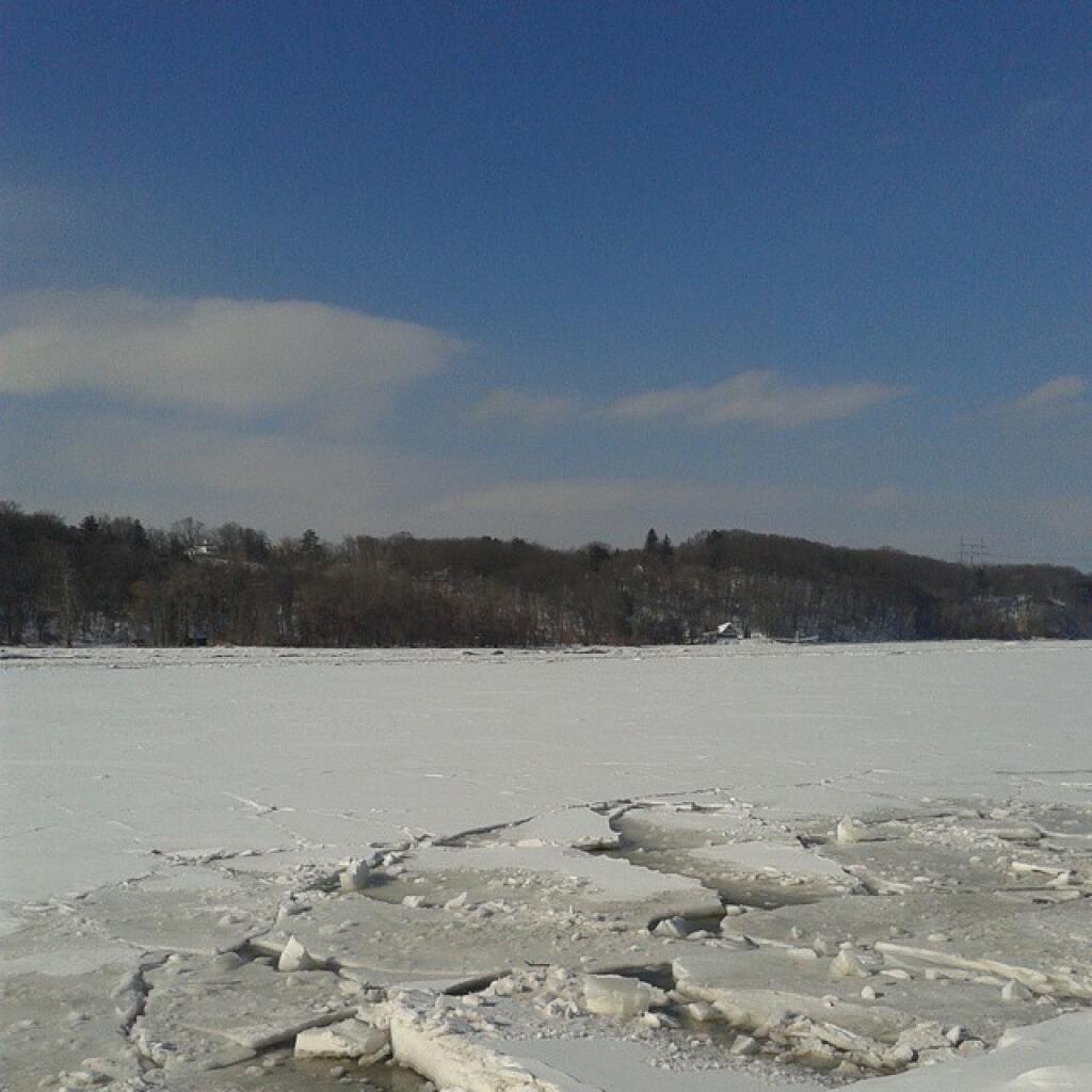
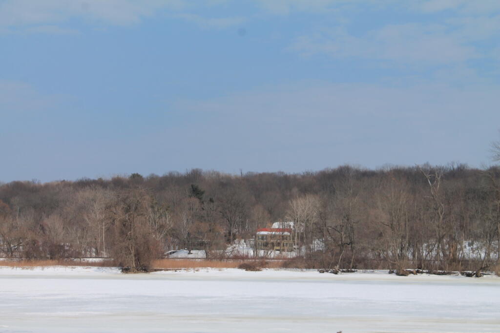
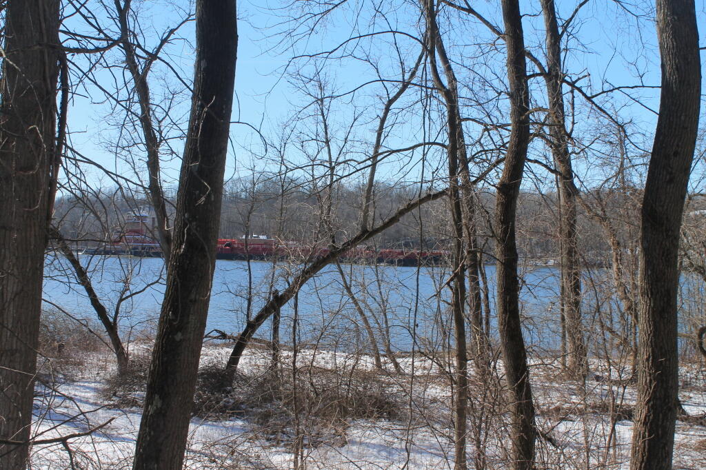
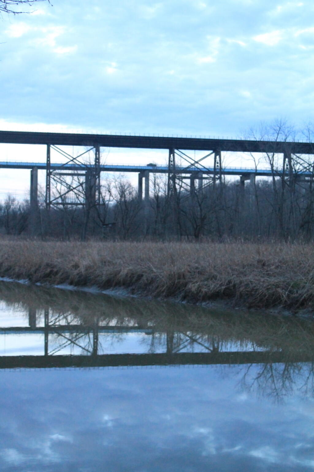
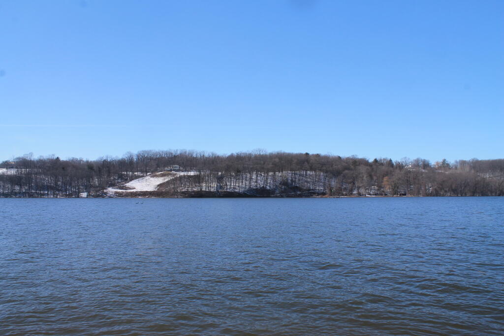
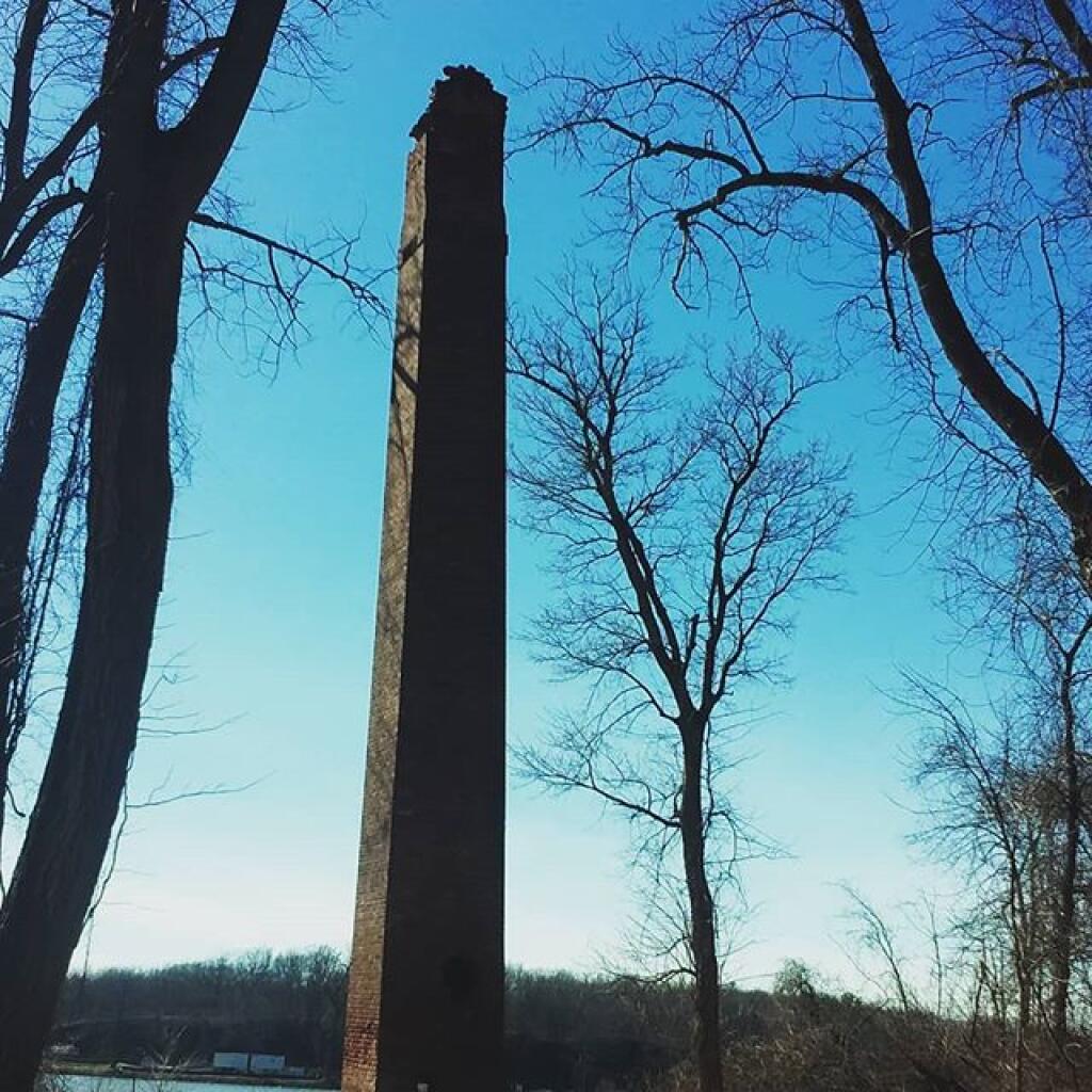
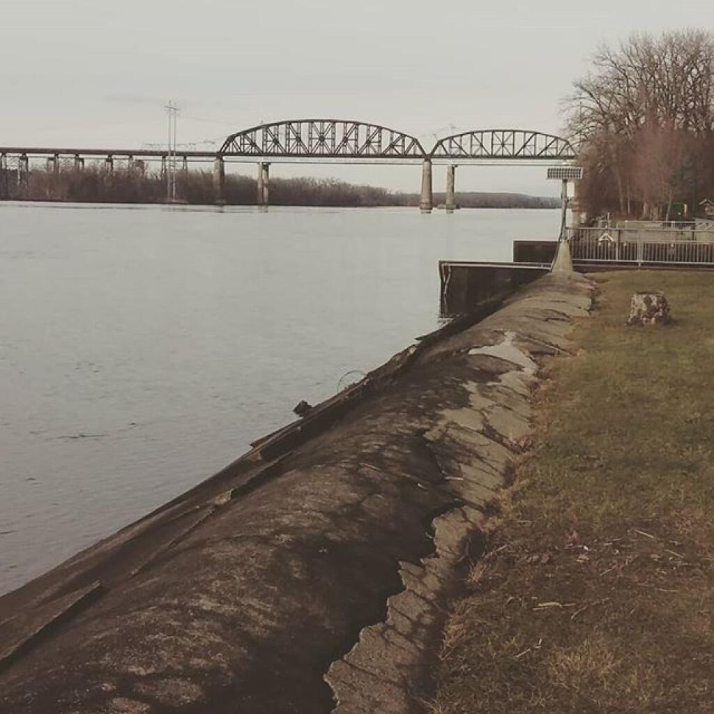
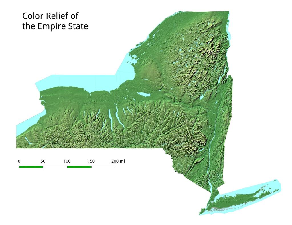
Schodack Island State Park sits off the eastern shore of the Hudson River just south of Albany. Approximately seven miles of Hudson River and Schodack Creek shoreline bound the 1,052-acre site.
A day-use facility, the park has been designated a State Estuary, and a portion of the park shelters a Bird Conservation Area (BCA) that is home to bald eagles, cerulean warblers and blue herons that nest in the cottonwood trees.
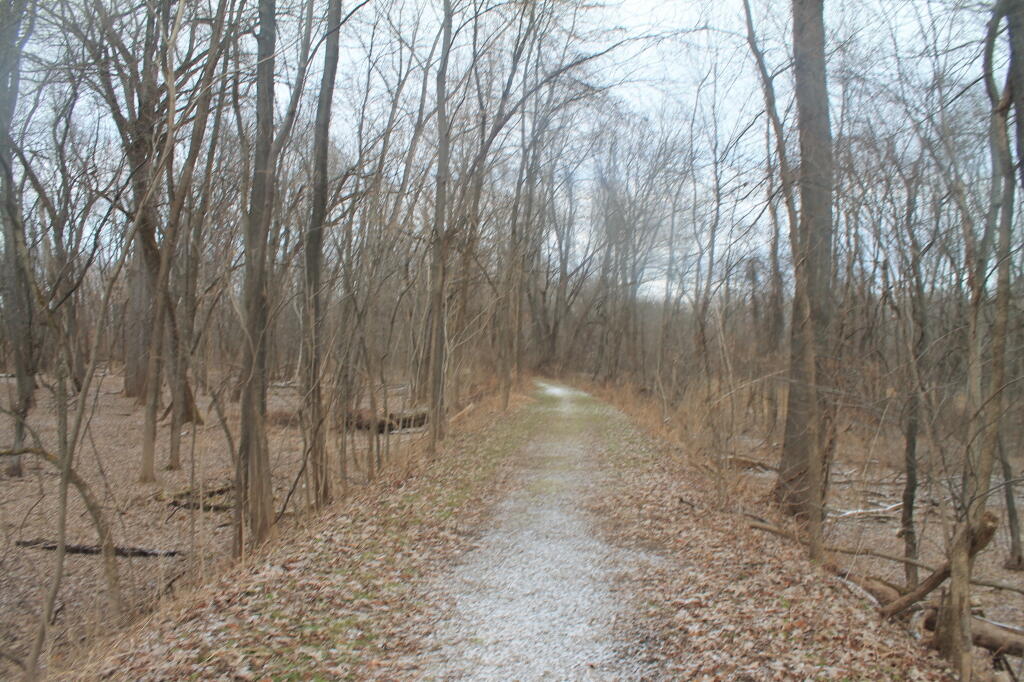
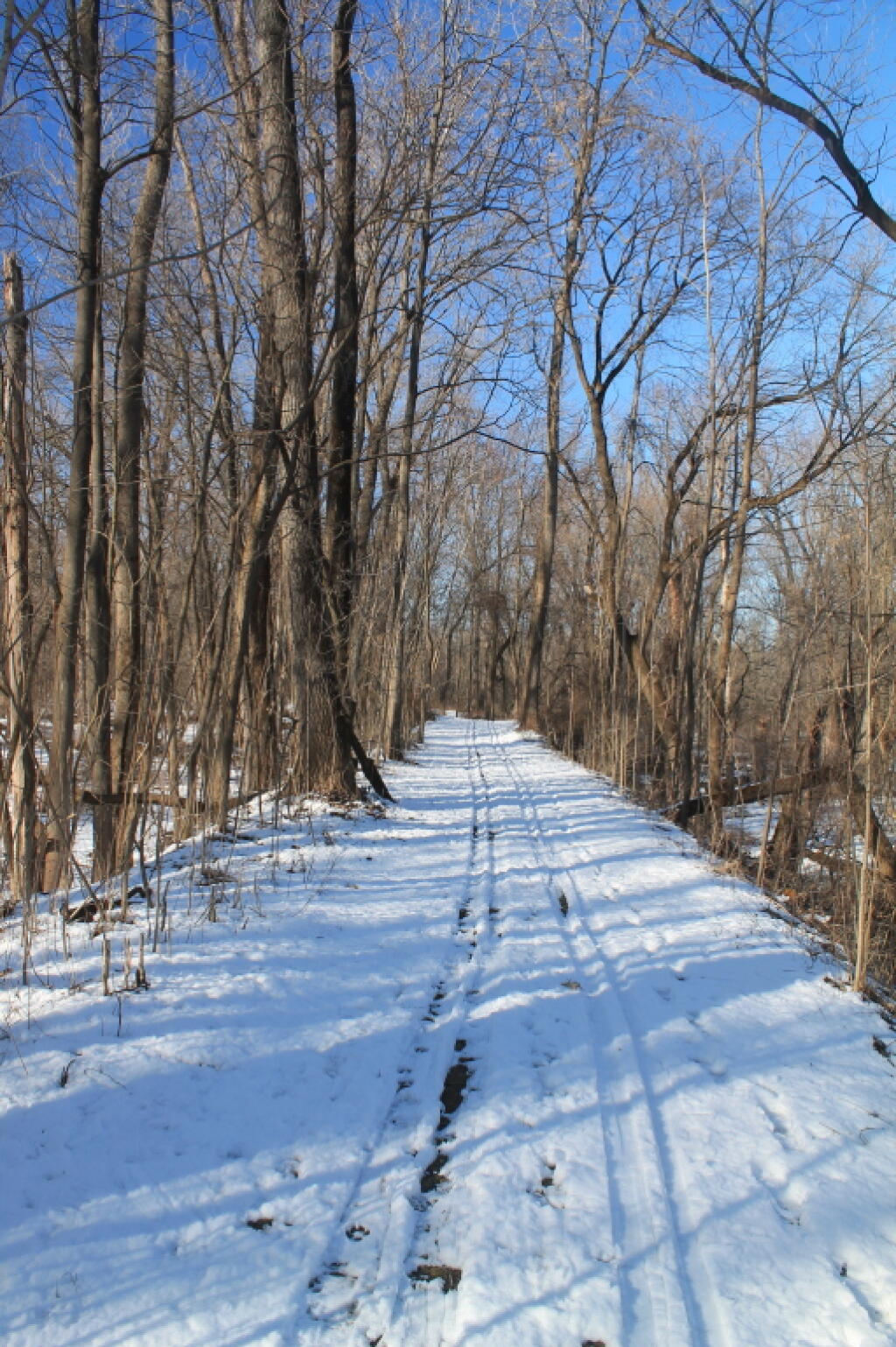
Eight miles of multi-use trails wind through a variety of ecological communities. In addition, the park has an improved bike trail, volleyball nets, horseshoe and a kayak/canoe launch site. Interpretive signage highlights the park's historic and environmental significance. Picnicking (tables and grills) are available to groups by reservation (fee - call park for details).
http://nysparks.com/parks/146/details.aspx