Swampy End of Tubbs Pond 🖼️

Download a High Resolution JPEG Image of the Swampy End of Tubbs Pond or an Adobe Acrobat Printable PDF of the Swampy End of Tubbs Pond.
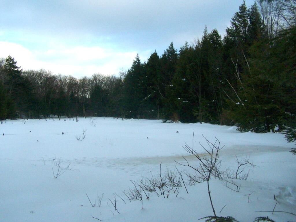
Swampy End of Tubbs Pond ...
I was hoping with the higher water levels from the rain, I could paddle a ways up the creek towards the lower pond on Beaver Road. However, due to this pond being man-made and controlled by a spillway, and the beaver dam blocking the upper part of the river, I could not go any further then normally. Tubbs Pond is much to small!
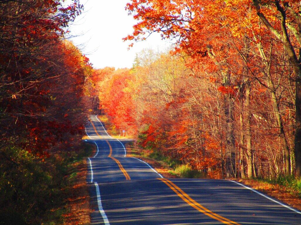
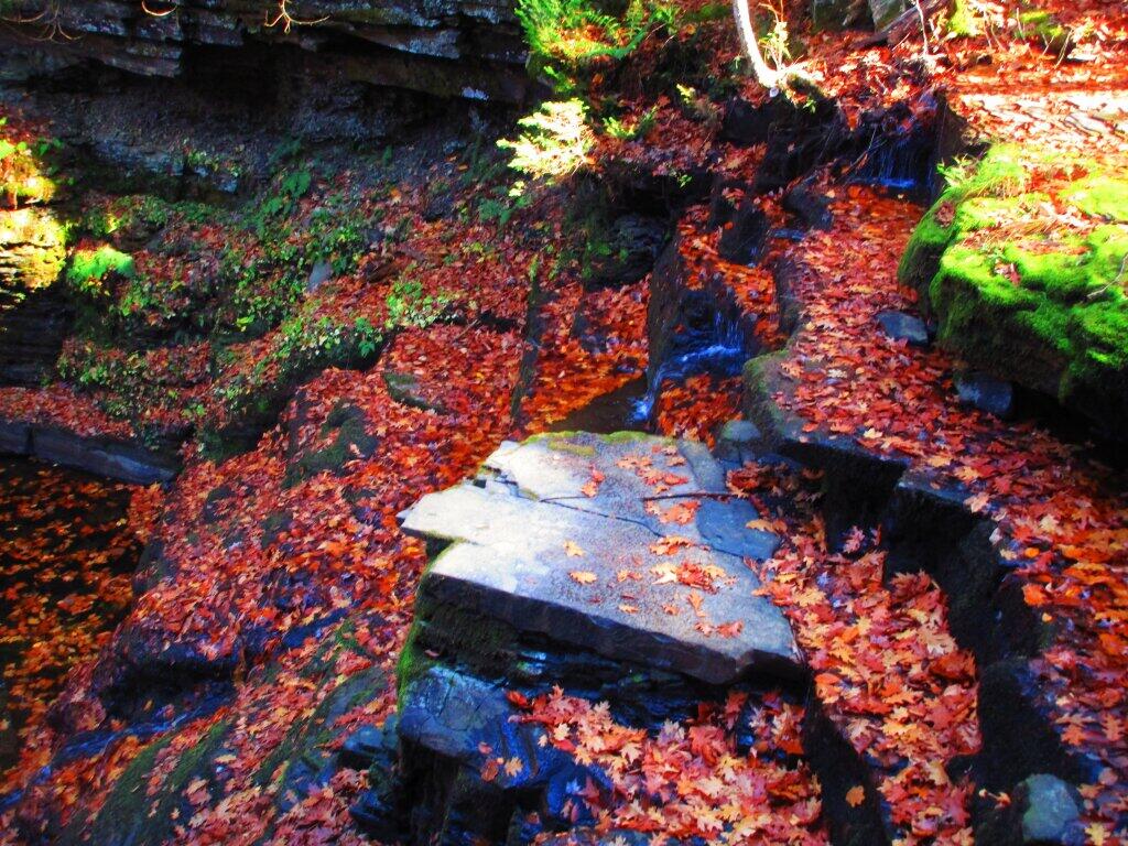
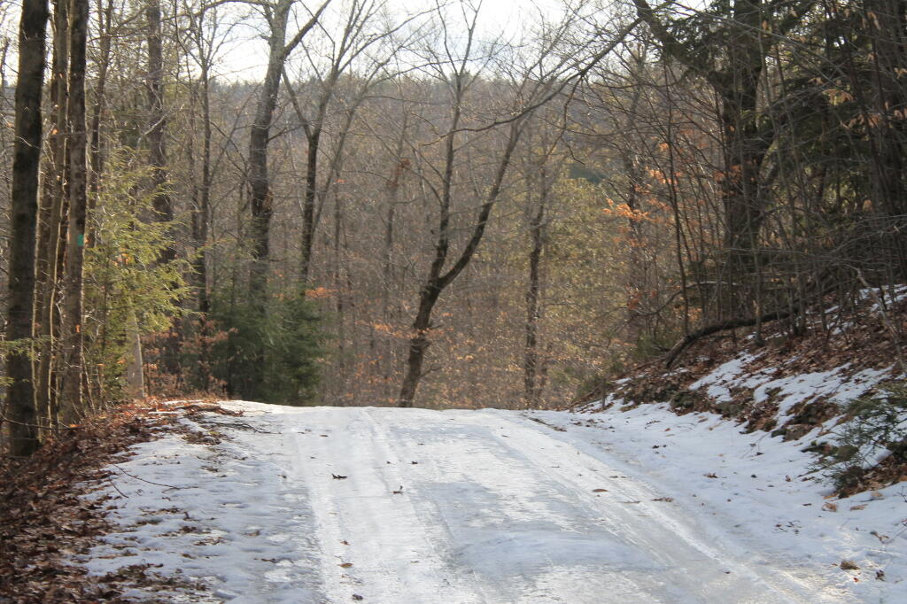
Taken on Sunday May 1, 2011 at Partridge Run Game Management Area.
More about Partridge Run Game Management Area...
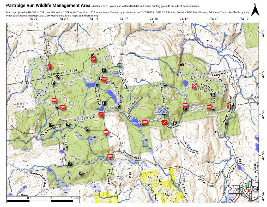
Partridge Run Wildlife Management Area (WMA) consists of about 4500 acres of upland and wetland habitat in Albany County. It is located in the Town of Berne. The majority of the current WMA was transferred to the New York State in 1962 by the federal government. The WMA can be access from County Rt. 13, County Rt. 6 and a number of town roads. Numerous parking areas are located throughout the WMA. This parcel of public land affords multiple uses for outdoor recreation including hunting, trapping, fishing, birding, hiking, snowmobiling, skiing, and horseback riding.
http://www.dec.ny.gov/outdoor/86068.html