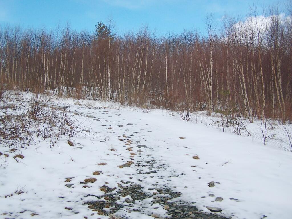
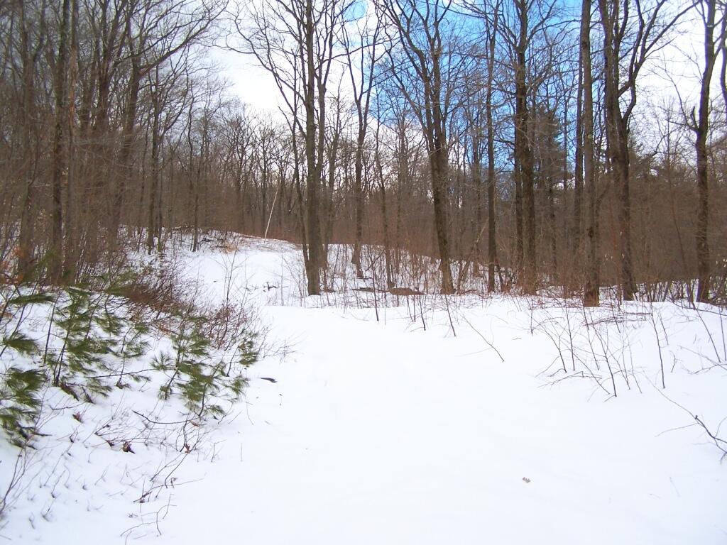
Decending an Unnamed Hill 🖼️
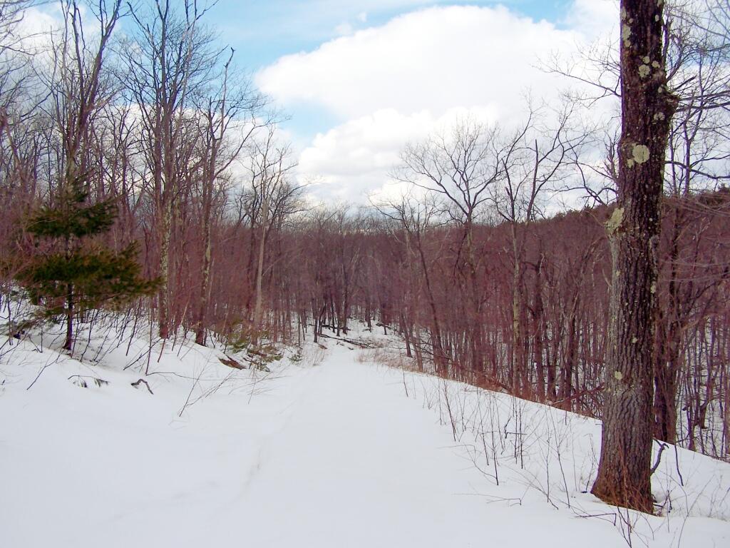
Download a JPEG Image of the Decending an Unnamed Hill.
Decending an Unnamed Hill ...
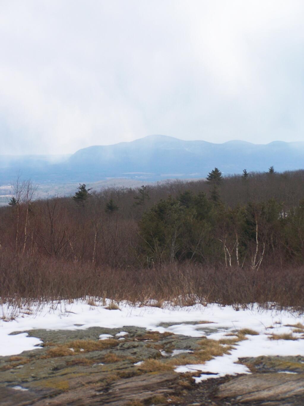
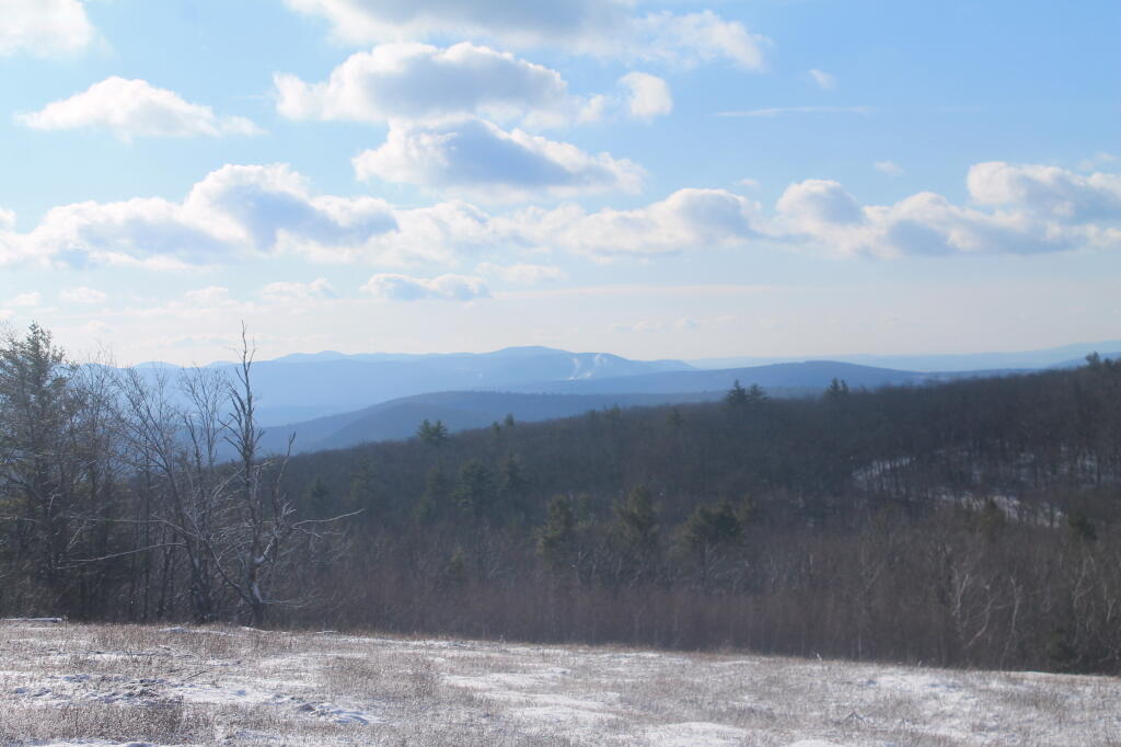
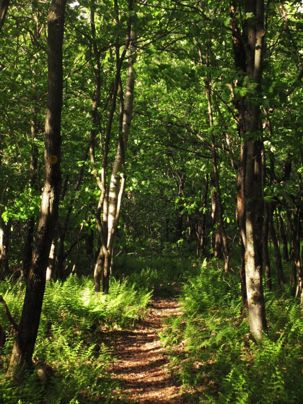
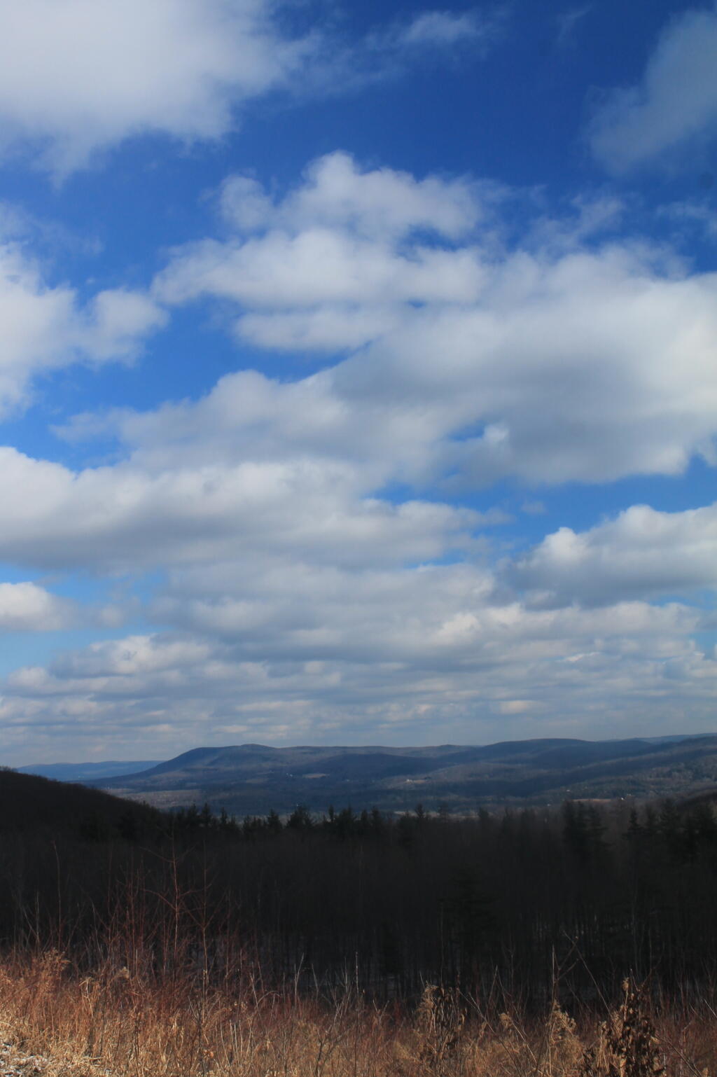
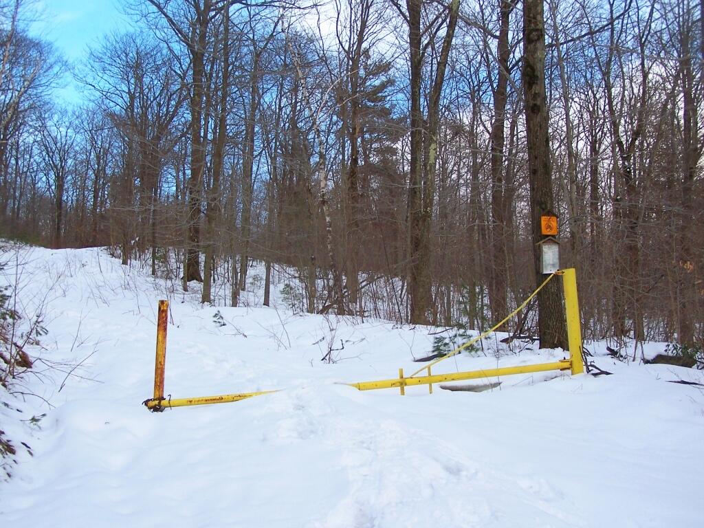
Part of the gated/snow covered portion of Harvey Mountain Truck Trail, goes around and partially over a small hill, then drops into a ravine, until finally one climbs up Harvey Mountain. The truck trail is not much of a hike, no more 9/10th of a mile and only a 150 foot climb.
Taken on Saturday April 2, 2011 at Harvey Mountain State Forest.
More about Harvey Mountain State Forest...
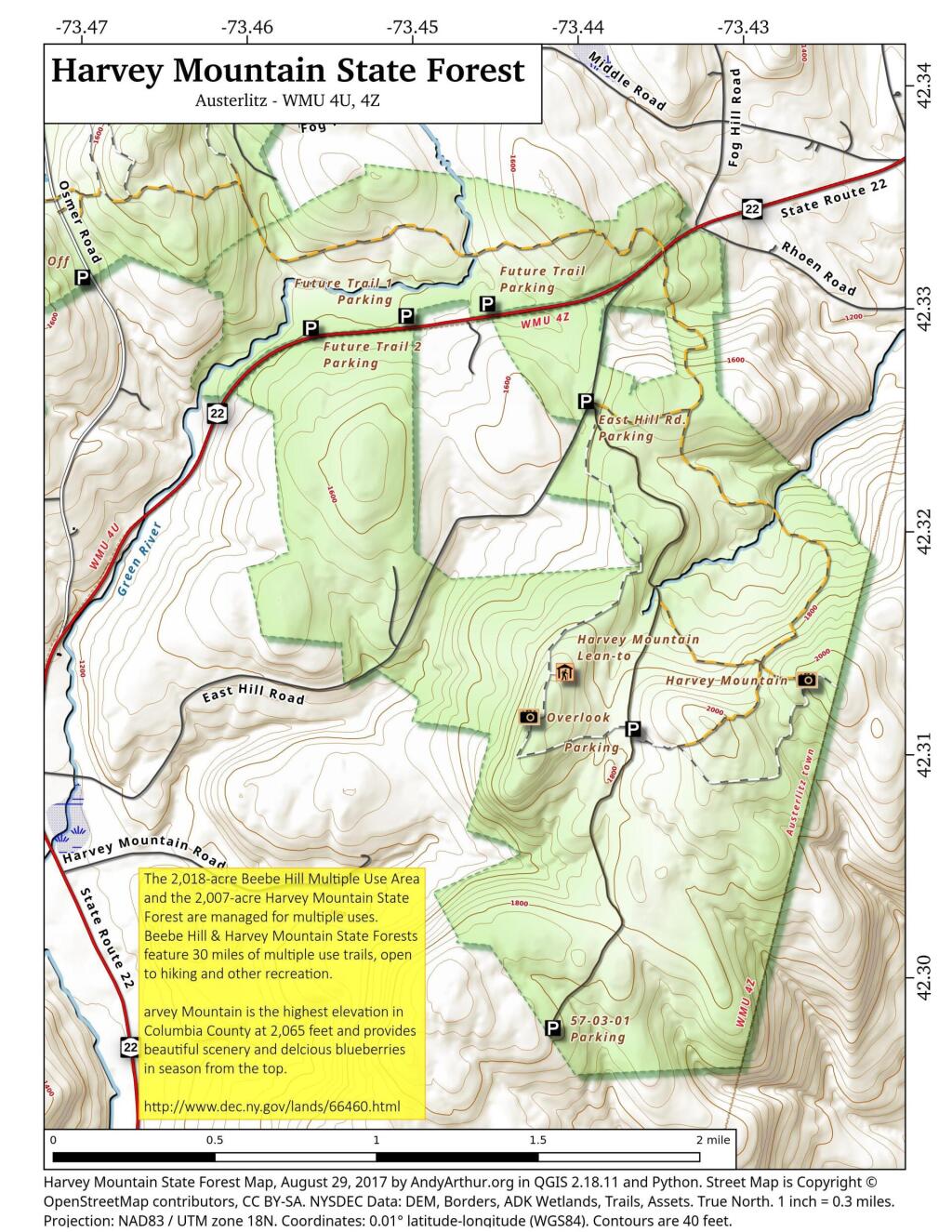
Harvey Mountain State Forest are managed for multiple uses, including timber production, watershed protection, wildlife habitat and recreation. Recreational opportunities include hiking, biking, picnicking, horseback riding (except on foot trails and snowmobile/ski trails when snow covered), camping, snowmobiling, cross-country skiing, hunting, fishing, trapping, wildlife observation and photography.
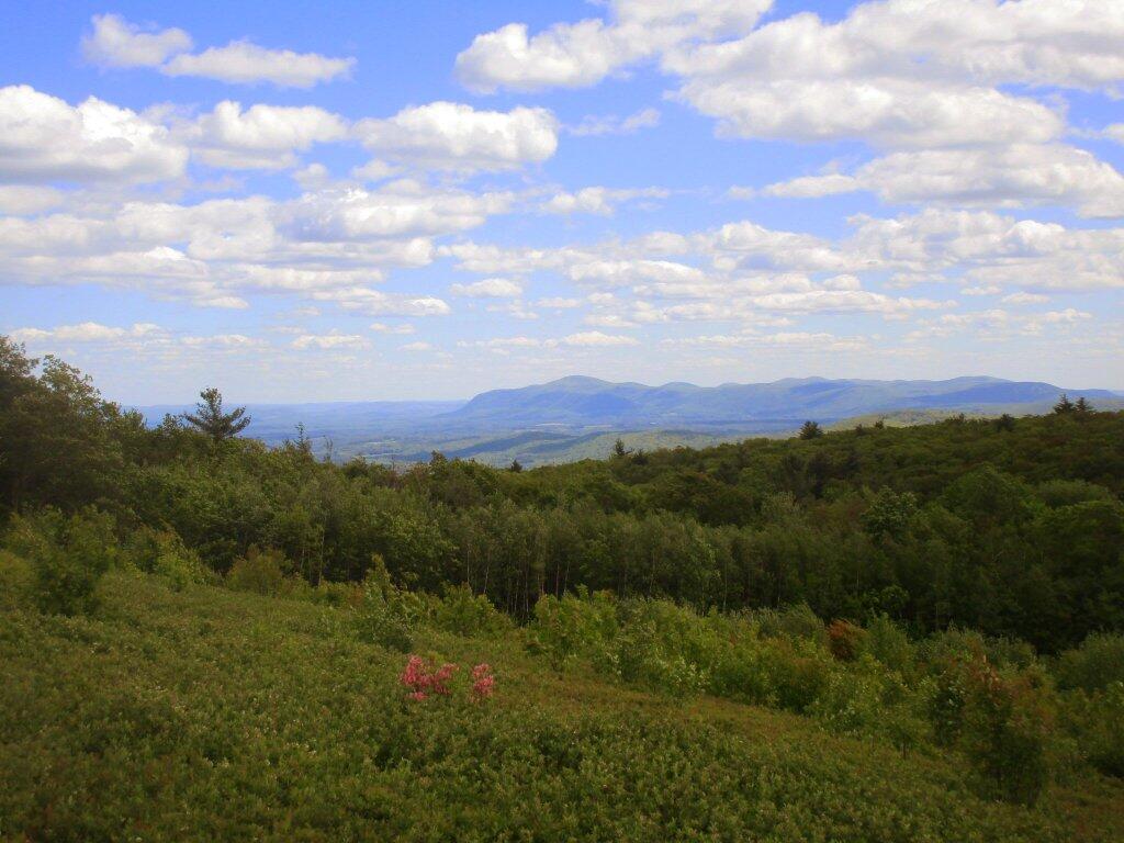
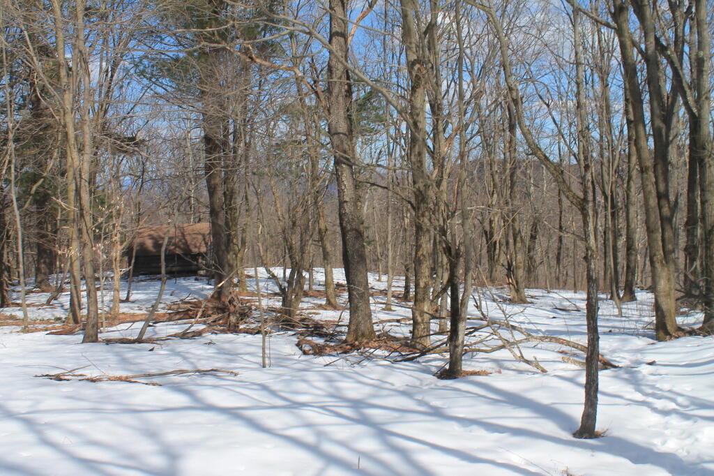
Harvey Mountain State Forest also has a lean-to along the trail, as well as a large, unique blueberry patch at the summit of the mountain.
http://www.dec.ny.gov/lands/66460.html