
Long Pond State Forest
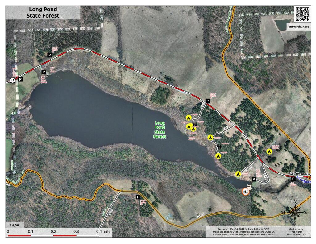
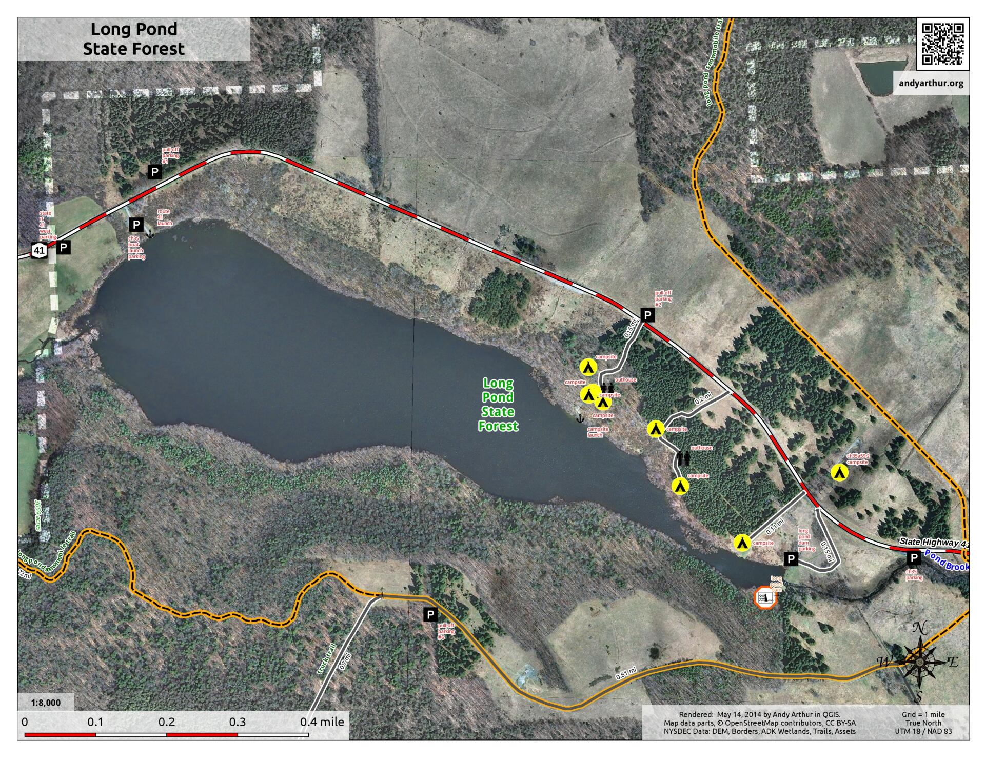
Download a High Resolution JPEG Image of the Long Pond State Forest or an Adobe Acrobat Printable PDF of the Long Pond State Forest.
Bookmark my free Interactive GPS Map for your phone:
https://andyarthur.org/ny
... shows your location as a blue dot in relationship to campsites, trails, state land. This online map requires cell service, won't work in remote country, so also bring a paper map.
Free Download of New & Historical USGS 1:24k Topograpic Maps
Interactive maps with backcountry and roadside camping: New York, Pennsylvania, West Virginia & Vermont. List of NYS DEC Lean-Tos and Firetowers.
Google Spreadsheet with Roadside, Primitive and Pay Campsites
More about Long Pond State Forest...
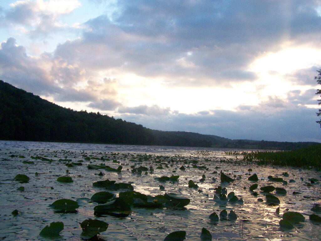
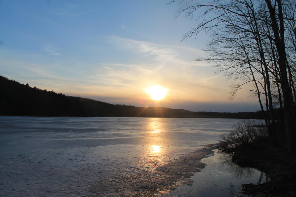
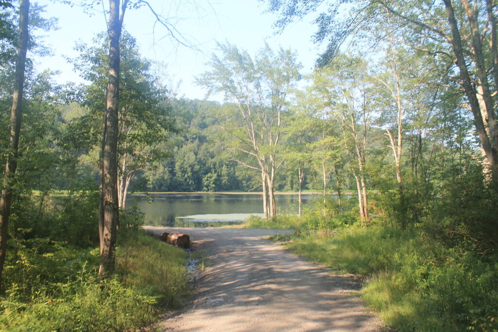
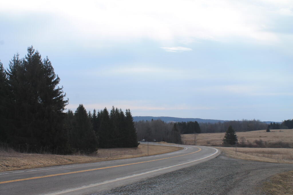
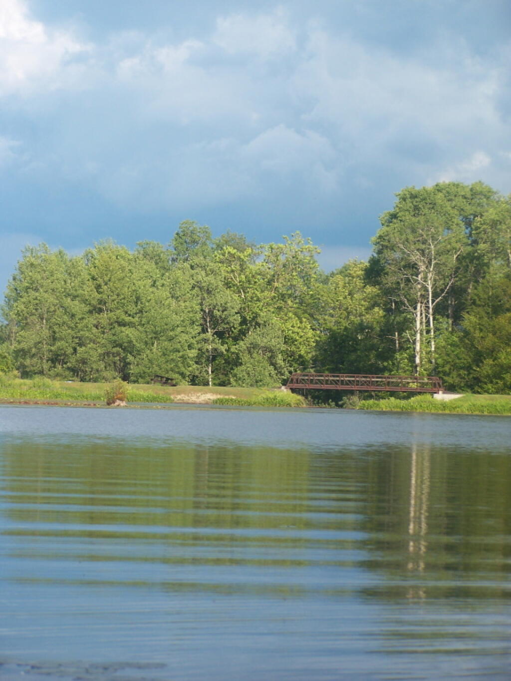
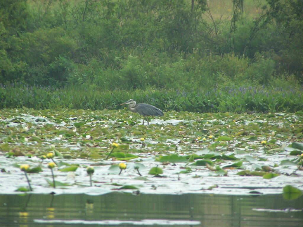
Located in the Town of Smithville, the 3,254 acre Long Pond State Forest (Chenango Reforestation Area #35) offers a wide variety of habitats and recreational opportunities. Over a thousand acres were purchased in the 1930's, using funds from the Hewitt Amendment. Old farm fields were reforested to white pine and spruce. Native species of American beech, black cherry, white ash, sugar and red maple and eastern hemlock can be found. An additional 2200 acres was purchased in 1963 from the Tarbell estate.


No Comments
Very nice map..hoping to visit
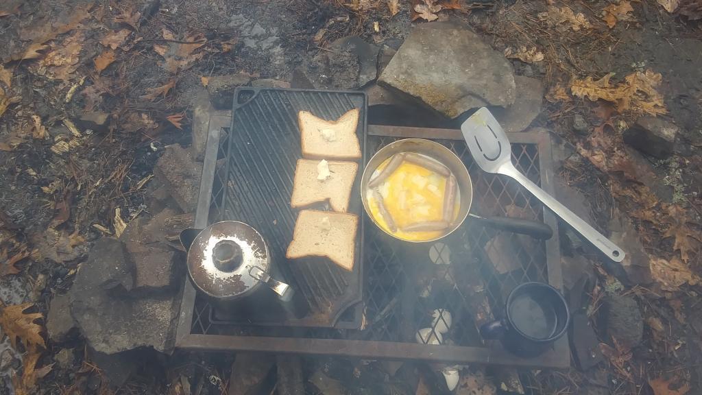
It’s a great place to visit. If you are planning on camping, you may want to bring firewood, as there isn’t a lot of firewood on site, as it’s mostly picked over.