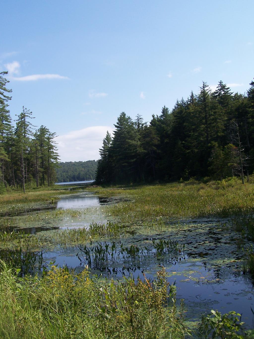
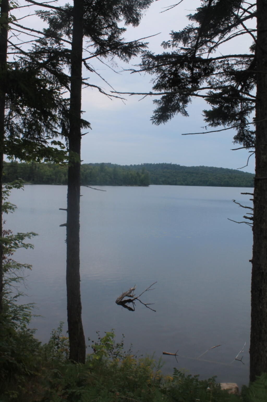
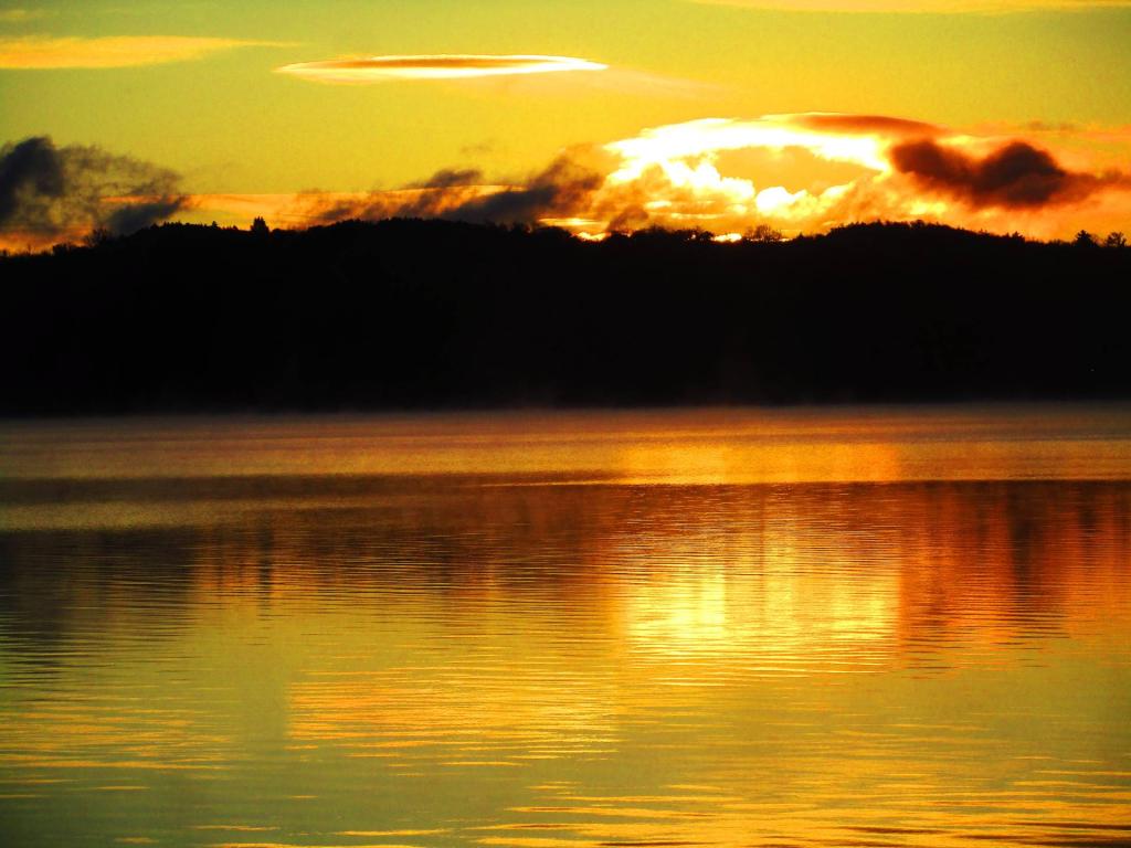
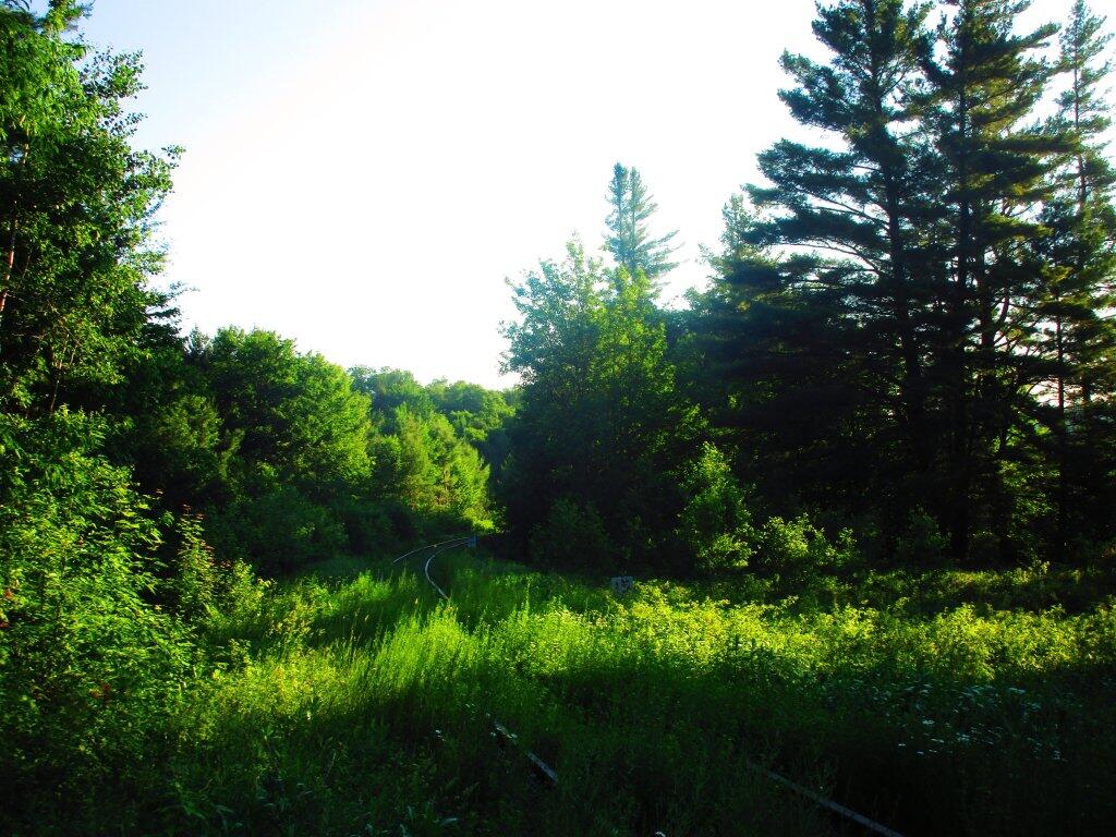
Early morning paddle 🖼️

Download a JPEG Image of the Early morning paddle.
Early morning paddle ...
Taken on Tuesday June 23, 2020 at Horseshoe Lake.
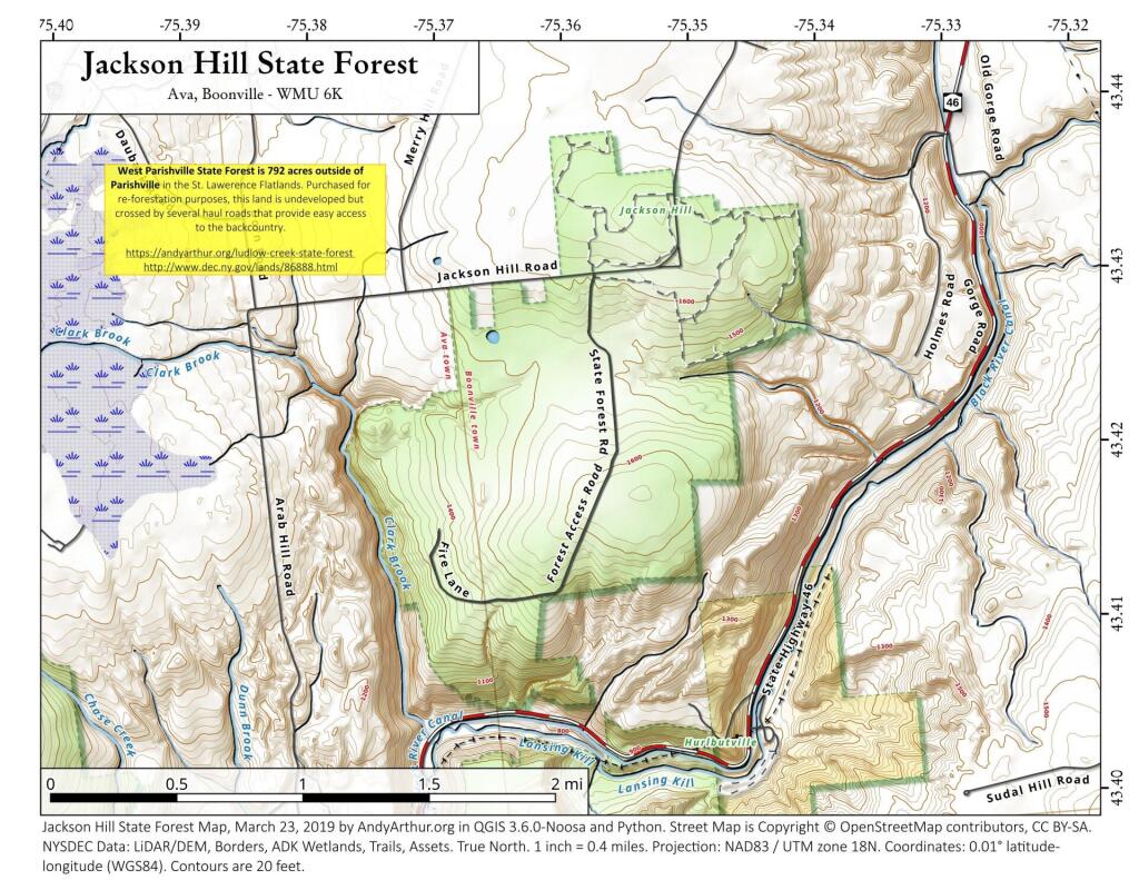
More about Horseshoe Lake...
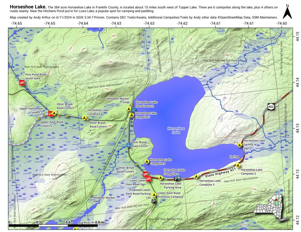
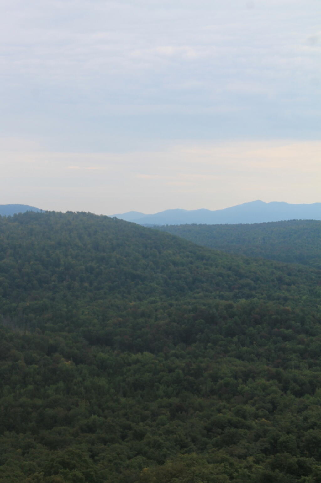
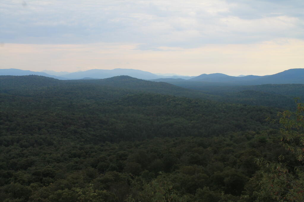
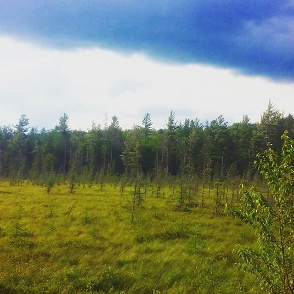
Horseshoe Lake in Franklin County, is located about 15 miles south west of Tupper Lake. There are 6 campsites along the lake, plus 4 others on roads nearby. Near the Hitchens Pond put-in for Lows Lake, a popular spot for camping and paddling.