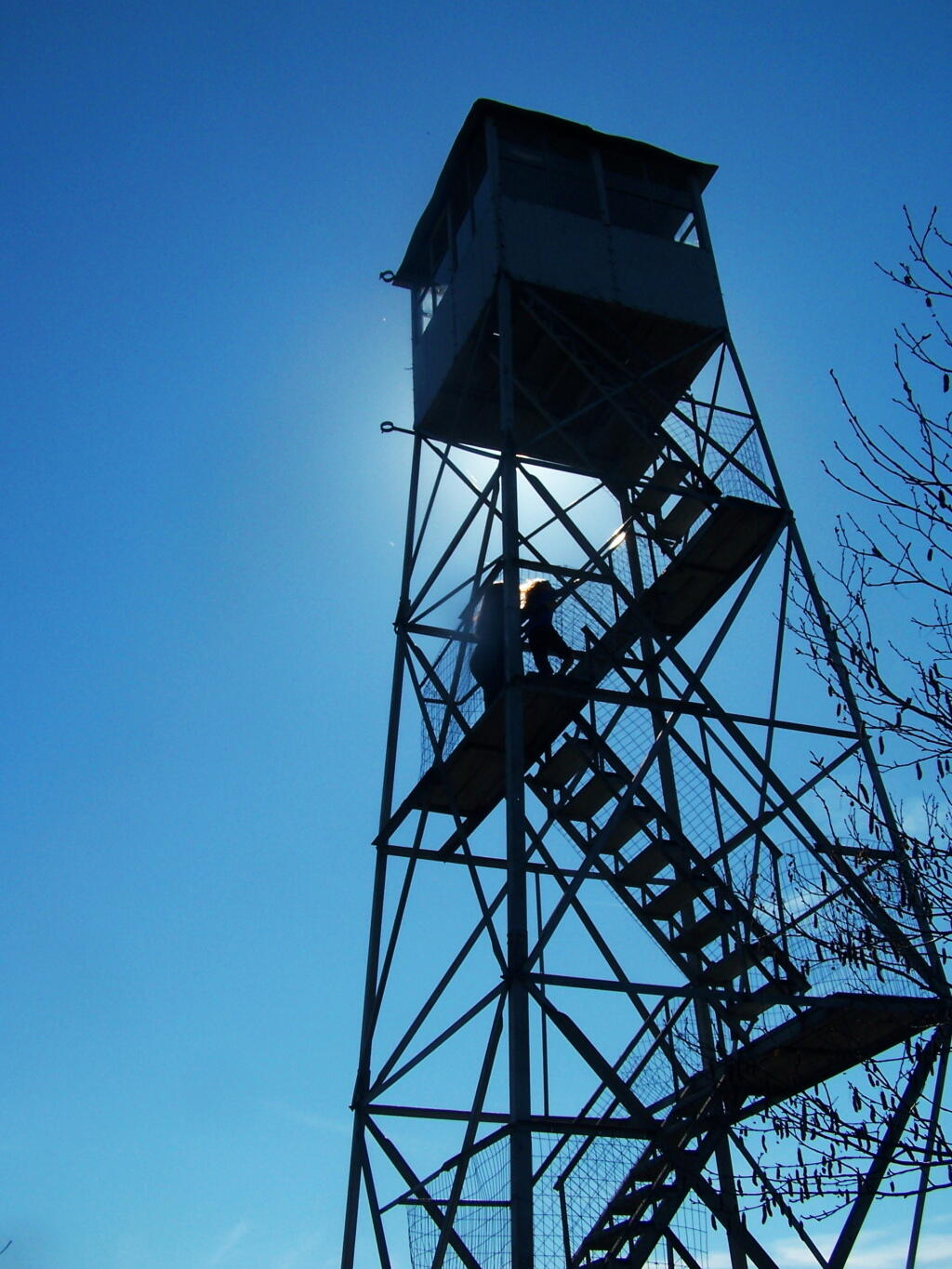
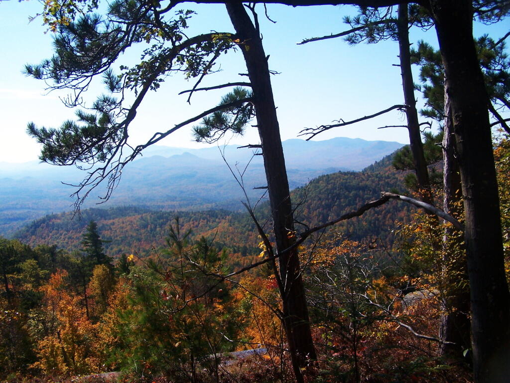
Poke O Moonshine Fire Tower
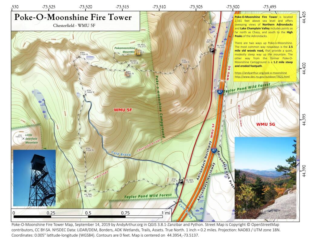
Download a High Resolution JPEG Image of the Poke O Moonshine Fire Tower or an Adobe Acrobat Printable PDF of the Poke O Moonshine Fire Tower.
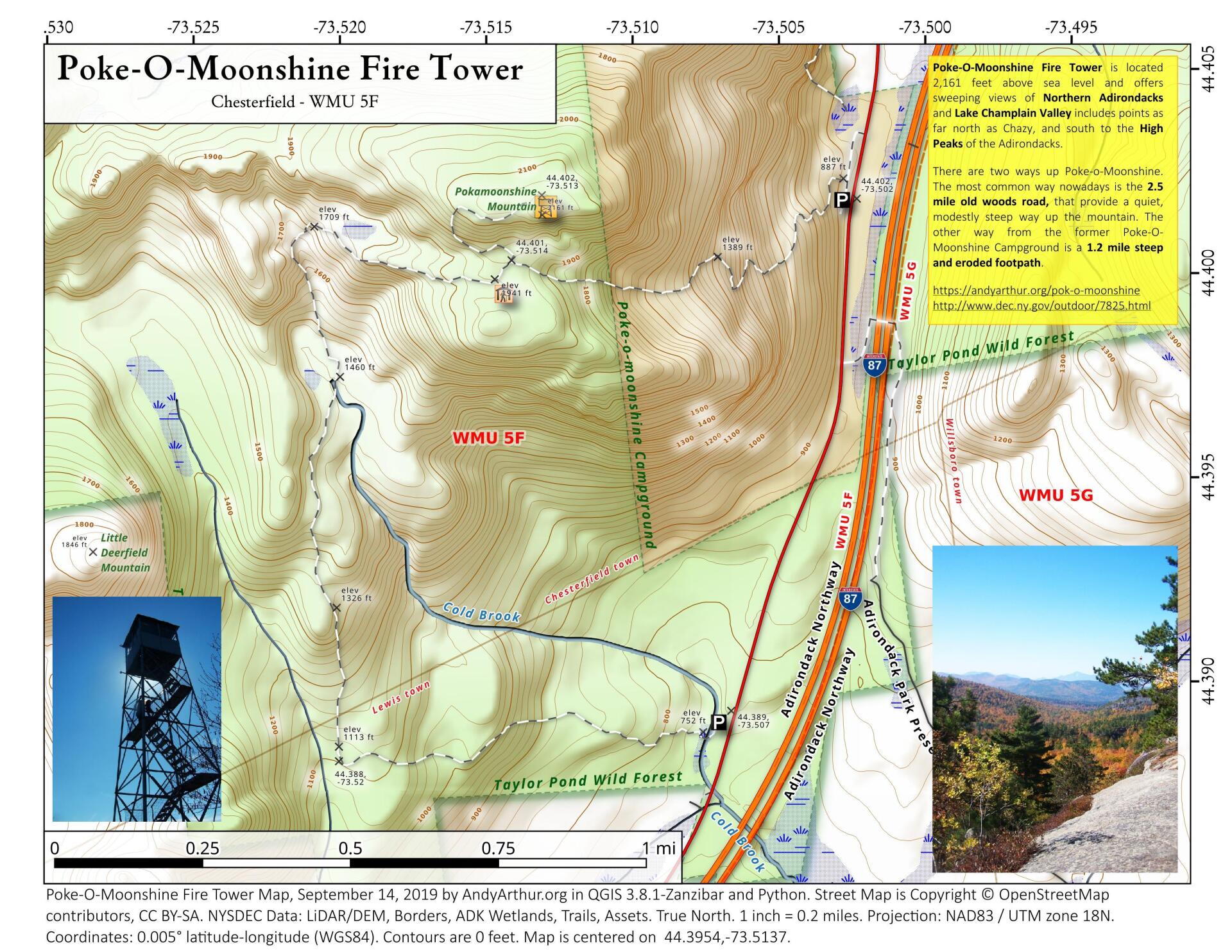
About Map: Poke O Moonshine Fire Tower ....
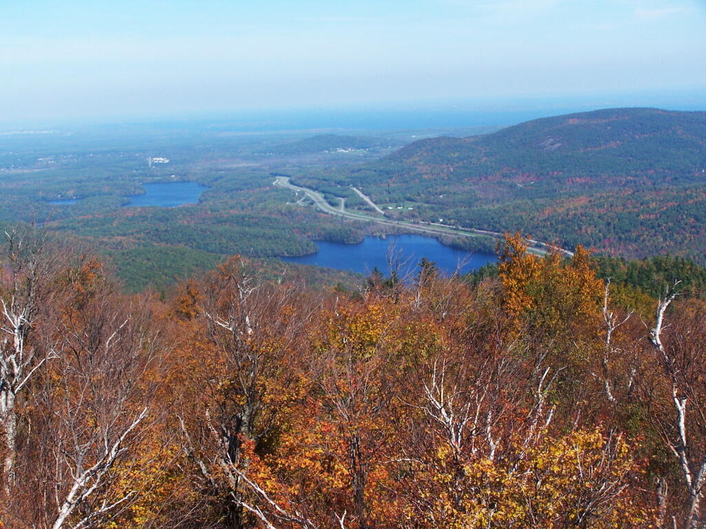
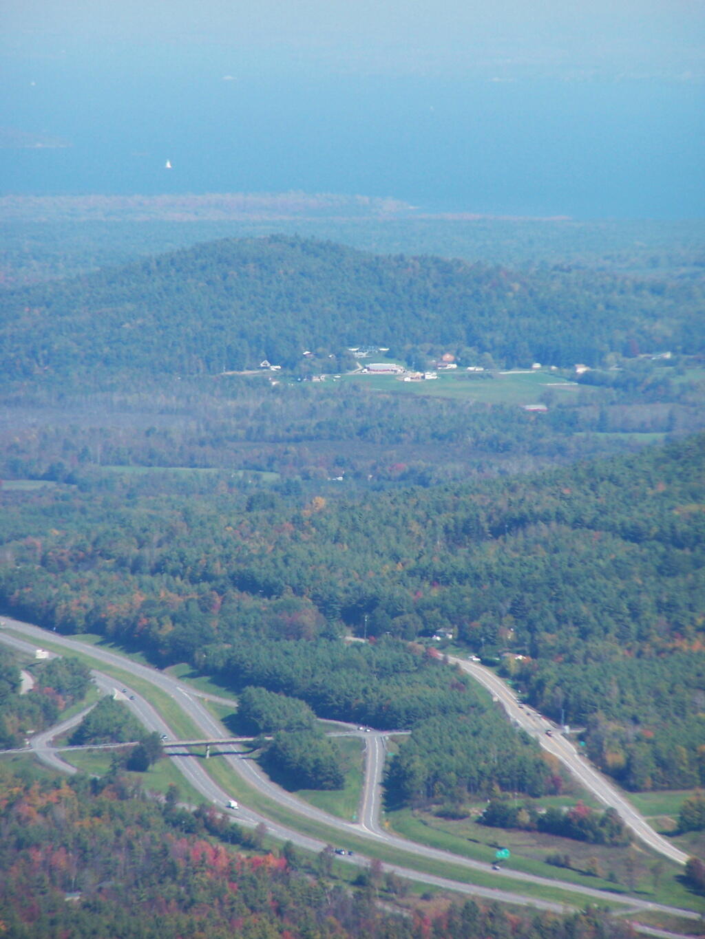
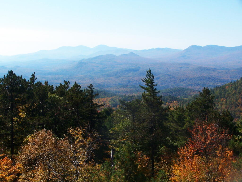
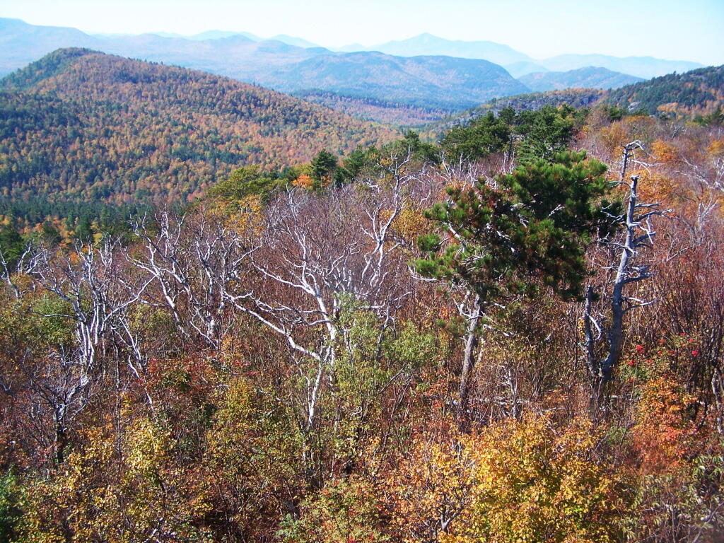
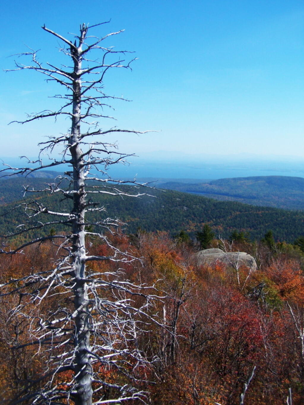
Poke-O-Moonshine Fire Tower is located 2,161 feet above sea level and offers sweeping views of Northern Adirondacks and Lake Champlain Valley includes points as far north as Chazy, and south to the High Peaks of the Adirondacks.
There are two ways up Poke-o-Moonshine. The most common way nowadays is the 2.5 mile old woods road, that provide a quiet, modestly steep way up the mountain. The other way from the former Poke-O-Moonshine Campground is a 1.2 mile steep and eroded footpath.
https://andyarthur.org/pok-o-moonshine
http://www.dec.ny.gov/outdoor/7825.html
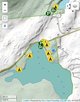
Bookmark my free Interactive GPS Map for your phone:
https://andyarthur.org/ny
... shows your location as a blue dot in relationship to campsites, trails, state land. This online map requires cell service, won't work in remote country, so also bring a paper map.
Free Download of New & Historical USGS 1:24k Topograpic Maps
Interactive maps with backcountry and roadside camping: New York, Pennsylvania, West Virginia & Vermont. List of NYS DEC Lean-Tos and Firetowers.
Google Spreadsheet with Roadside, Primitive and Pay Campsites
More about Pok-O-Moonshine...
Poke-O-Moonshine Mountain, spelled Pokamoonshine on U.S. Geological Survey maps, and sometimes known as just Poke-O, is a minor peak of the Adirondack Mountains. The name is believed to be a corruption of the Algonquin words pohqui, meaning 'broken', and moosie, meaning 'smooth'. It is located in the town of Chesterfield, New York, United States, on New York state Forest Preserve land, part of the Taylor Pond Wild Forest complex within the Adirondack Park. Due to its location next to the pass through which most travelers from the north enter the range, it has been called the "gateway to the Adirondacks".
https://www.wikiwand.com/en/Poke-O-Moonshine_Mountain