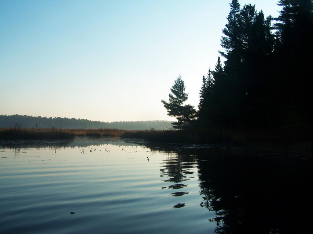
Dark Shadows 🖼️
Download a JPEG Image of the Dark Shadows.
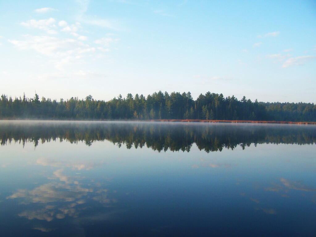
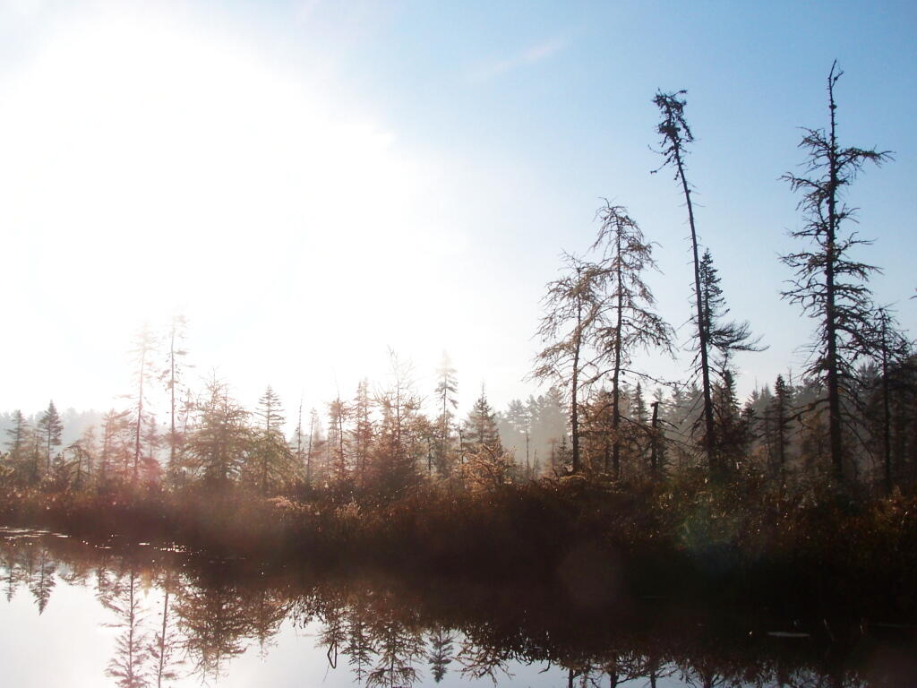
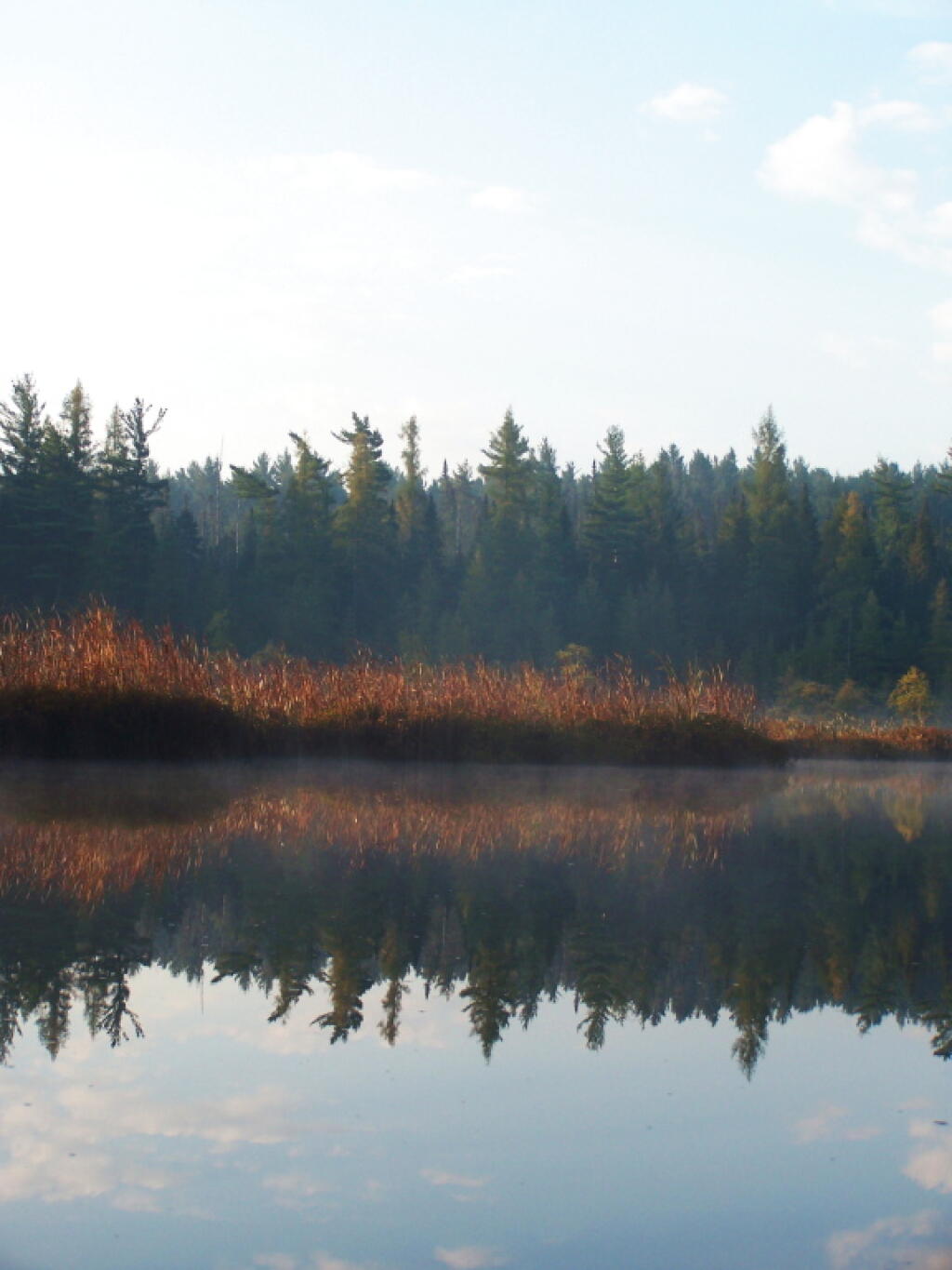
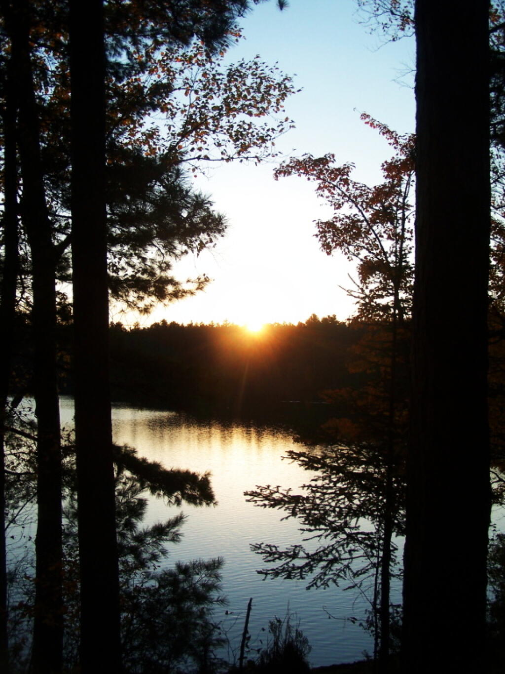
Dark Shadows ...
Taken on Monday October 10, 2011 at Jones Pond.
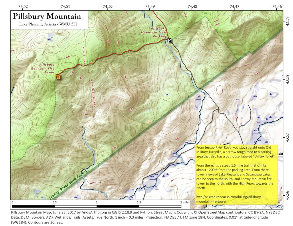
More about Jones Pond...
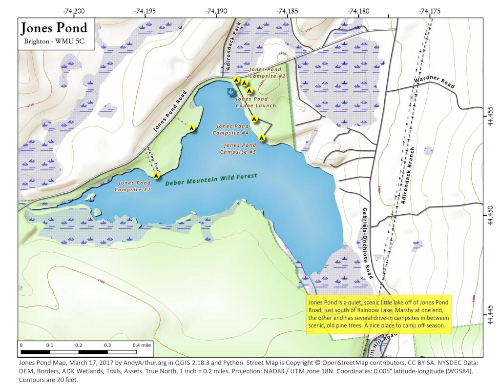
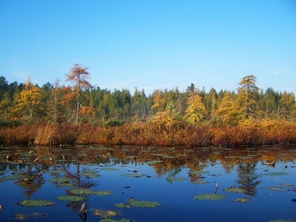
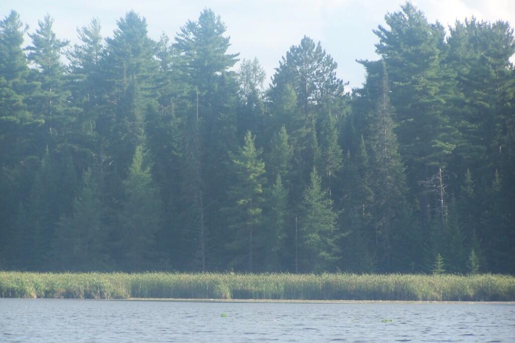
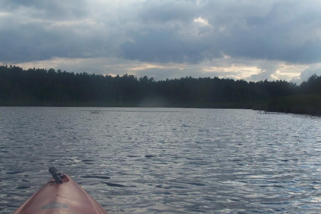
Jones Pond is home to 8 tent and drive-into sites, situated under pine trees. Many of the sites have great views through the trees of Saint Regis Mountain to the west.